Orkney
Orkney belongs to the sea, but not to the sea you might expect. These seventy islands sit just ten miles off the Scottish mainland, close enough to see across the Pentland Firth on a clear day, yet culturally they have looked north for most of their history - to Scandinavia, not to Edinburgh or London. For six centuries Orkney was Norse, governed by jarls who answered to the King of Norway, and the islands still carry that inheritance in their place names, their speech patterns, and their stone-built pragmatism. The Norse overlay is only the most recent layer. Beneath it lies something far older.
Five Thousand Years of Habitation
Orkney's Neolithic heritage is among the finest in Europe. The Heart of Neolithic Orkney, a UNESCO World Heritage Site, includes the stone village of Skara Brae, the chambered tomb of Maeshowe, the Ring of Brodgar, and the Standing Stones of Stenness. Skara Brae, buried under sand dunes for millennia and exposed by a storm in 1850, preserves a village of stone houses complete with beds, dressers, and storage alcoves, all built from the flat flagstone that Orkney provides in abundance. Maeshowe, a passage tomb aligned to catch the setting sun at winter solstice, was broken into by Norse raiders who carved runic graffiti on its walls - the largest collection of runes outside Scandinavia. These are not ruins in the ordinary sense. They are intact enough to walk through, sit in, and understand.
The Norse Centuries
Harald Fairhair of Norway annexed Orkney around 875, and for the next six hundred years the islands were governed by Norse earls whose sagas rival anything from Iceland. Thorfinn the Mighty, who ruled in the eleventh century, controlled territory stretching from Dublin to Shetland. His cousin and rival Magnus Erlendsson was murdered on the island of Egilsay around 1117 and later canonised as St Magnus, giving his name to the magnificent red sandstone cathedral in Kirkwall that remains the most important medieval building in the north of Scotland. In 1290, the seven-year-old Margaret, Maid of Norway, heir to the Scottish throne, died in Orkney during her voyage south - a death that triggered the succession crisis leading to the Wars of Scottish Independence. Orkney passed to Scotland in 1468, pledged by Christian I of Denmark as part of a marriage dowry that was never redeemed.
Scapa Flow and Two World Wars
The vast natural harbour of Scapa Flow made Orkney strategically critical in both world wars. In 1919, the German High Seas Fleet, interned at Scapa Flow after the armistice, was scuttled by its own crews - fifty-two warships sinking to the bottom in a single day, the largest loss of shipping in history. In 1939, a German U-boat penetrated the harbour's defences and torpedoed HMS Royal Oak, killing 835 men. The resulting Churchill Barriers, built by Italian prisoners of war, permanently sealed the eastern approaches and inadvertently created the road network that still connects Orkney's southern islands. Seven German wrecks remain on the seabed, making Scapa Flow one of the world's great diving destinations.
Island Character
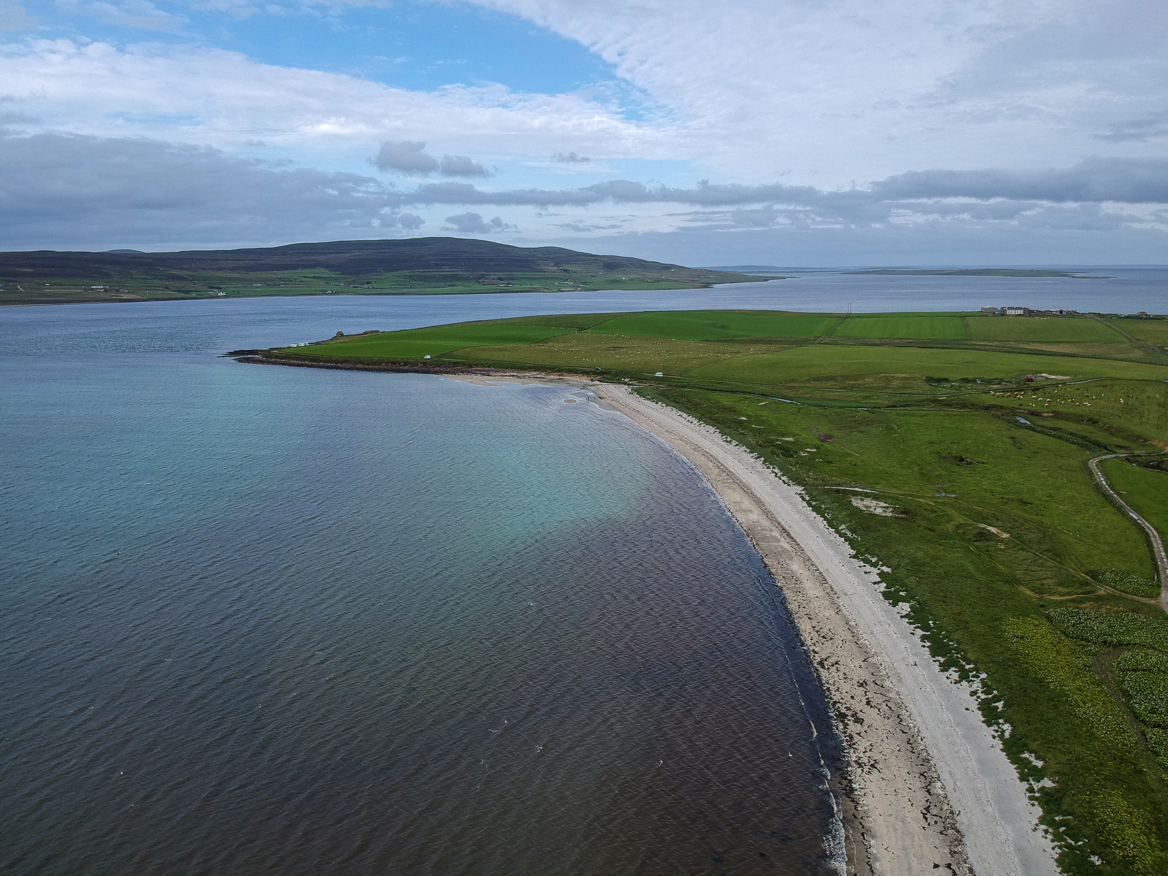
Orkney is green where you might expect grey. The Gulf Stream moderates the climate, and the islands are remarkably fertile - agricultural land rather than highland wilderness. The landscape is low and rolling, rarely rising above a few hundred feet, which gives the sky an enormous presence. Wind is the dominant force. Trees are scarce because the gales that sweep in from the Atlantic simply will not allow them. The architecture responds accordingly: houses are low, thick-walled, often built from the same flagstone that underlies the islands. Kirkwall, the capital, clusters around St Magnus Cathedral, its streets narrow enough to block the wind. Stromness, the second town, has a single main street that curves along the waterfront, with houses stepping directly down to the harbour.
The Pull of the Periphery
About 22,000 people live in Orkney, most of them on Mainland, the largest island. Tourism, farming, fishing, and renewable energy sustain the economy. The islands generate more electricity from wind and tidal power than they consume, exporting the surplus to the Scottish mainland via undersea cable. Orkney has been a testing ground for marine energy technology, with tidal turbines operating in the fierce currents of the Pentland Firth. There is a confidence to the place that belies its small population - a community that knows its own worth and its own history, that has been managing its relationship with the sea for five thousand years and shows no sign of stopping.
From the Air
Orkney lies at approximately 59°N, 3°W, separated from mainland Scotland by the Pentland Firth. The archipelago is clearly visible from altitude, with Mainland Orkney the largest island and Scapa Flow the prominent enclosed body of water at its centre. Kirkwall Airport (EGPA) is the main airfield, located on Mainland. The islands are low-lying and green, with few trees. From 3,000-5,000 feet, the Churchill Barriers, the Ring of Brodgar, and the harbours of Kirkwall and Stromness are all identifiable.