Oroville Dam
On February 12, 2017, emergency sirens wailed across Butte County as 188,000 people scrambled to evacuate their homes. The unthinkable was happening: Oroville Dam, the tallest in the United States, was failing. Water had begun pouring over the emergency spillway for the first time since the dam's completion in 1968, and erosion was threatening to undermine the entire structure. If the spillway collapsed, a wall of water would surge down the Feather River Canyon toward Sacramento. What followed was a desperate race against physics, with engineers gambling that increasing flow down the damaged main spillway could lower the reservoir fast enough to save the emergency spillway from complete failure.
Built from Gold Rush Debris
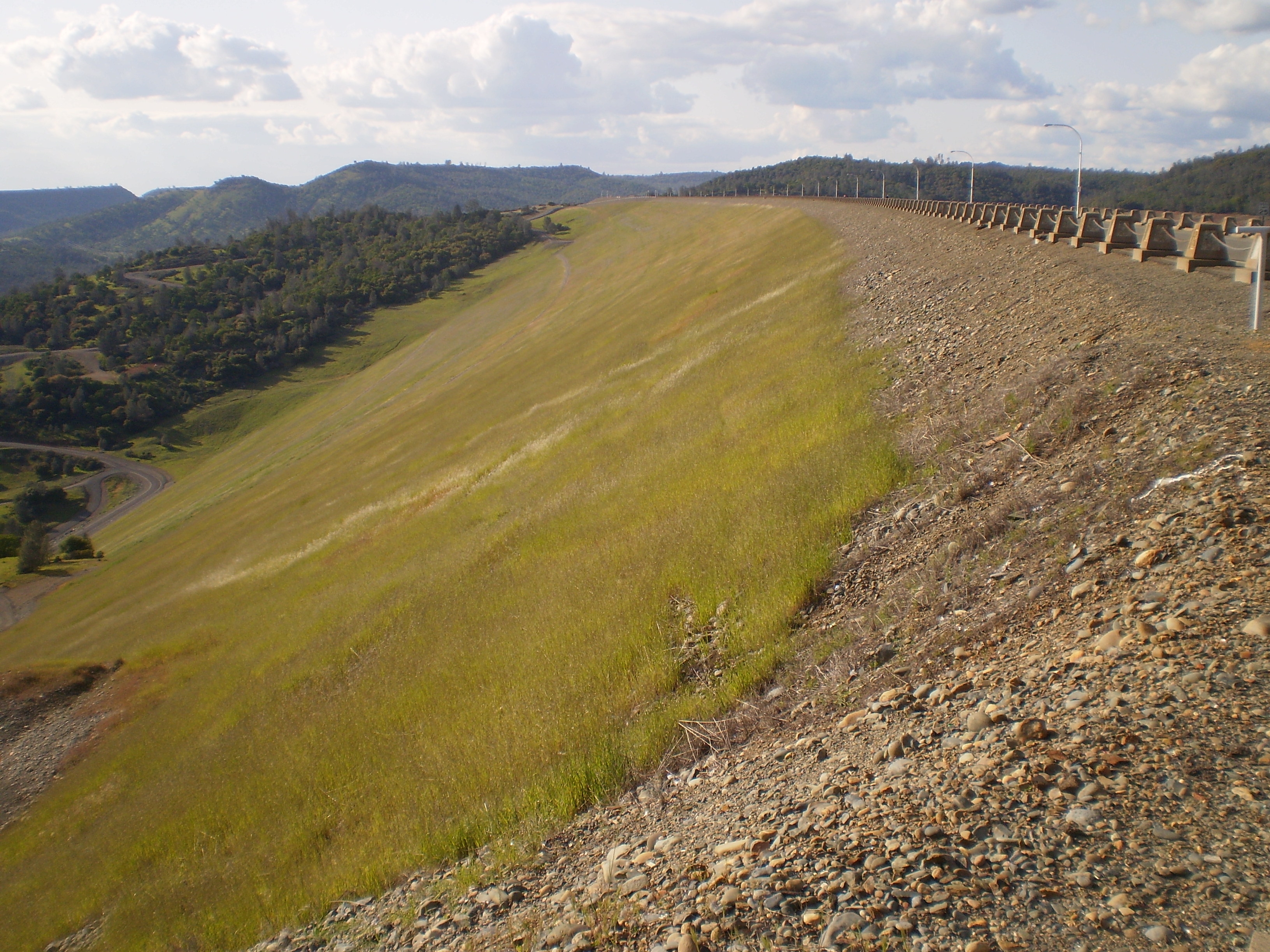
The dam that would become America's tallest began as a political compromise. Major flooding in the 1950s convinced California to build a dam at Oroville regardless of whether it would join the State Water Project. Construction began in 1961, and workers discovered an unusual source of fill material: enormous piles of hydraulic mining debris washed down by the Feather River after the California Gold Rush. For six years, an average of 120 train cars per hour transported this legacy of the mining era to build the 770-foot earthen wall. The project survived a near-disaster during the Christmas flood of 1964, when the partially completed dam nearly overtopped but still managed to reduce the Feather River's peak flow by nearly 40 percent. A deadly train collision in October 1965 killed four workers when two 40-car trains collided head-on at a tunnel entrance, igniting a forest fire. When Governor Ronald Reagan dedicated the completed dam in 1968, it held back Lake Oroville, California's second-largest reservoir.
Lifeline to Twenty-Five Million
Oroville Dam does far more than prevent floods. Buried beneath the structure lies the Edward Hyatt Power Plant, once the nation's largest underground power station. Six turbines can generate electricity during peak demand, then pump water back uphill when surplus power is available. The Hyatt and connected Thermalito plants produce an average of 2,200 gigawatt hours of electricity annually, about half of all power generated by the State Water Project's eight hydroelectric facilities. But the dam's most crucial function is water delivery. Water released from Oroville travels down the Feather River, joins the Sacramento, reaches the Sacramento-San Joaquin Delta, then gets pumped through the California Aqueduct to the San Joaquin Valley and Southern California. The dam supplies irrigation water and municipal supplies to some 25 million people. It also blocks salmon and steelhead migration, so the Feather River Fish Hatchery produces 10 million salmon smolt and 450,000 trout smolt annually to compensate.
Warnings Ignored
In October 2005, three environmental groups petitioned federal regulators to require concrete armoring of the emergency spillway. They warned that in extreme conditions, water flowing over the earthen hillside could cause catastrophic erosion. The Federal Energy Regulatory Commission and water agencies dismissed the concerns as overblown. The spillway cracked in 2013 and was patched. In July 2015, inspectors checked the main spillway visually from some distance but did not walk its surface. Meanwhile, California was building toward the wettest winter in over a century. The rainy season of 2016-2017 overwhelmed Northern California with record precipitation. By February 2017, Lake Oroville was so full that dam operators had no choice but to increase spillway releases. On February 7, workers noticed an unusual flow pattern. When engineers inspected the main spillway, they found a massive crater where concrete and foundation had simply vanished.
The Crisis Unfolds
Dam operators faced an impossible choice. The crater in the main spillway kept growing with each release, but stopping the flow meant the reservoir would overtop the emergency spillway, which had never been used. They continued releasing water through the damaged spillway while the hole expanded to consume thousands of cubic yards of concrete and earth. On the evening of February 11, the emergency spillway began carrying water for the first time in the dam's 49-year history. Within hours, erosion began eating into the hillside below the spillway's concrete lip, threatening to undermine the entire structure. The next afternoon, Butte County ordered immediate evacuation of everyone downstream. Engineers cranked the main spillway to maximum flow despite the destruction it caused, hoping to lower the reservoir faster than erosion could collapse the emergency spillway. By 8:00 PM on February 12, the gamble had worked. The reservoir dropped just enough to stop flow over the emergency spillway. Two days later, residents were allowed to return home.
Lessons in Concrete
The spillway reconstruction became one of the most expensive dam repairs in American history, totaling $1.1 billion. An independent forensics team identified 24 possible causes for the failure, including faulty drainage, variations in concrete thickness, and corroded rebar. Workers discovered that bedrock beneath the spillway was weaker than expected, requiring deeper excavations and more concrete. The project revealed just how close California had come to catastrophe. In August 2021, drought brought a different crisis when Lake Oroville fell so low that the Hyatt power plant had to shut down for the first time, its water inlets exposed. The plant restarted in January 2022 after winter storms raised the lake level. The dam that talks back, as engineers nicknamed it for its hundreds of monitoring instruments, continues its daily work: preventing floods, generating power, and delivering water to a quarter of California's population.
From the Air
Oroville Dam sits at 39.54N, 121.49W in the Sierra Nevada foothills, approximately 75 miles north of Sacramento. From altitude, Lake Oroville's distinctive shape and the massive earthen dam are clearly visible. The reconstructed spillway cuts a white swath down the canyon wall. Nearby airports include Oroville Municipal Airport (KOVE, 4 miles southwest) and Chico Municipal Airport (KCIC, 25 miles northwest). The Thermalito Forebay and Afterbay reservoirs are visible west of the main dam. Best viewed at 3,000-5,000 feet AGL for scale appreciation.