Ouachita National Forest
The word Ouachita is the French spelling of the Indian word Washita, meaning "good hunting grounds." It is an understatement. Stretching across western Arkansas and into extreme-eastern Oklahoma, the Ouachita National Forest encompasses most of the scenic Ouachita Mountain Range -- a chain that runs east to west rather than the north-south orientation typical of most American ranges. Hernando de Soto's party of Spaniards explored these rugged mountains in 1541. French explorers followed, leaving behind names like Fourche La Fave River. Established as the Arkansas National Forest on December 18, 1907, and renamed in 1926, the Ouachita is the oldest national forest in the southern United States. Within its bounds lies something truly rare: vast unbroken reserves of old-growth forest that constitute the largest virgin forest in the continental United States outside Alaska's Tongass.
The National Park That Almost Was
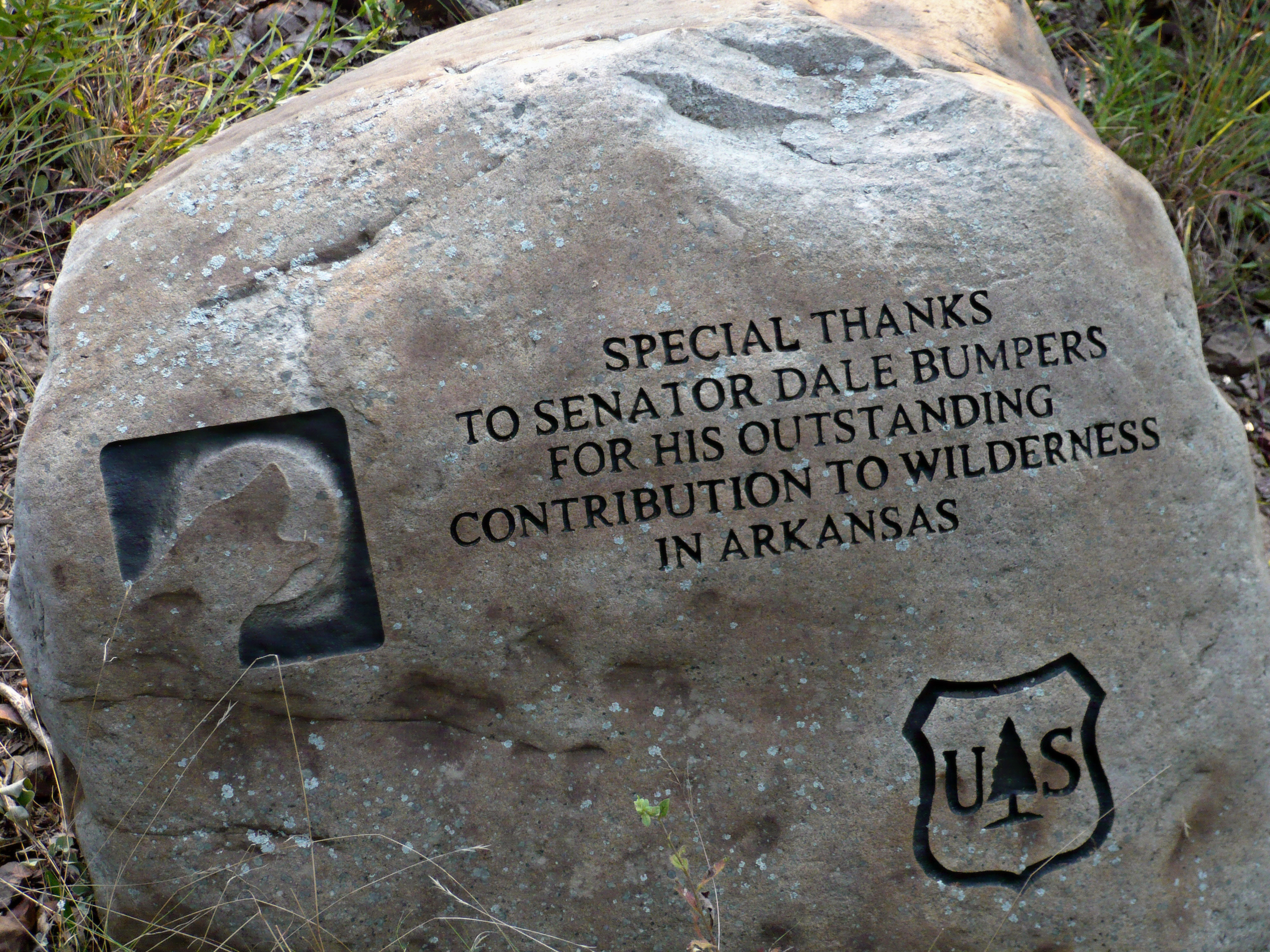
In the 1920s, the Ouachita very nearly became a national park. U.S. Senator Joseph T. Robinson and Representative Otis Wingo, both Arkansas Democrats, pushed a bill through Congress alongside State Representative Osro Cobb, then the only Republican in the Arkansas legislature. A last-minute pocket veto by President Calvin Coolidge killed the effort, reportedly due to opposition from the National Park Service and the Department of Agriculture, who cited the nearby existence of Hot Springs National Park. Cobb had envisioned protecting the area for the 45 million Americans living within driving distance who could not afford trips to western parks. He described the view from the Ouachita peaks in evocative terms: countless nameless peaks, dense forests, inviting valleys merging into the distant horizon, and mountain streams churning with savage ferocity down water-worn precipices, fed by crystal springs flowing like molten silver. Coolidge proposed expanding the forest into Oklahoma instead, which was realized in 1930.
Old Growth and Rare Oaks
The forest's most remarkable feature is what was never cut. Much of the Ouachita's higher elevations support extensive woodlands of stunted Northern Red Oak, White Oak, Post Oak, and Blackjack Oak. Because these trees held little commercial value, loggers passed them by, leaving old-growth stands that may total thousands of acres. Additional old-growth woodlands of Eastern Redcedar, Gum Bumelia, Winged Elm, and Yaupon line the stream corridors. The endangered maple-leaf oak, one of the rarest trees in North America, occurs here. Six congressionally designated wilderness areas protect the most pristine sections. The Black Fork Mountain Wilderness spans both Arkansas and Oklahoma, harboring significant old-growth forests including rare reserves of moist-hardwood virgin timber. The Flatside Wilderness, near Little Rock, offers some of the highest and most panoramic views in Arkansas, with winding mountain streams and waterfalls that few visitors ever see.
Crystals, Whitewater, and Winding Stair
A geologic belt several miles wide runs through the Ouachita, containing unusually pure quartz crystals. Visitors are free to pick up loose crystals for personal use, and may dig for quartz with a district ranger's permission -- making this one of the few national forests where rockhounding is officially welcomed. The forest's rivers offer everything from gentle canoeing to extreme whitewater. The Cossatot River is considered the most difficult whitewater between the Smoky and Rocky Mountains, a violent descent through narrows and ledges that draws experienced paddlers from across the South. The Caddo, Little Missouri, Mountain Fork, and Ouachita rivers provide calmer water for fishing and float trips. The Talimena Scenic Drive, a National Scenic Byway, meanders through the forest on a ridge route passing through old-growth oak woodlands on Winding Stair and Rich Mountains. In the Oklahoma section, the Winding Stair Mountain National Recreation Area offers over 150 campsites and an equestrian camp.
Twelve Ranger Districts and Two States
The Ouachita sprawls across 15 counties -- 13 in Arkansas and two in Oklahoma -- making it one of the most geographically diverse forests in the system. Its twelve ranger districts are the most of any national forest in America, surpassing even Alaska's giant Tongass, which has nine. Roughly 80 percent of the forest lies in Arkansas, with the remaining 20 percent in Oklahoma. From the air, the Ouachita Mountains present a distinctive pattern: long, narrow ridges running east to west, separated by parallel valleys, a geology that sets them apart from every other mountain range in the region. The Red Slough Wildlife Management Area in Oklahoma's McCurtain County draws birdwatchers to its donated wetlands, while Beavers Bend Resort Park and Broken Bow Lake anchor the forest's recreational offerings in the southeast. After nearly 120 years of federal protection, the good hunting grounds endure.
From the Air
Located at 34.50°N, 94.25°W in western Arkansas and extreme-eastern Oklahoma. The Ouachita Mountains run east-west, creating a distinctive ridge-and-valley pattern visible from altitude. Mena Intermountain Municipal Airport (KMEZ) is on the forest's southern edge. Fort Smith Regional Airport (KFSM) lies to the northwest. Hot Springs Memorial Field (KHOT) serves the eastern side near Hot Springs National Park. The Talimena Scenic Drive ridge is visible as a winding road atop the Winding Stair and Rich Mountain ridges. Mountain weather can be unpredictable; expect turbulence over ridges with strong winds. Terrain rises to over 2,600 feet in places. The Cossatot River gorge is a notable visual feature in the southern portion. Best viewing at 4,000-6,000 feet AGL to appreciate the east-west ridge pattern.