Oudlajan
Before Persian became the dominant tongue in Tehran, the residents of Oudlajan spoke Tati, an ancient Iranian language. The neighborhood's name, in that older tongue, means "the place for dividing the water," though some scholars trace it instead to a Jewish dialect rendering of "Abdullah Jan" -- Dear Abdullah. Either way, the etymology points to a community defined by two things: water and people who gathered around it.
Older Than the City
Oudlajan existed when Tehran was still a village. Its residents spoke a dialect closely related to that of Shemiran, the northern district, and the neighborhood occupied the northeastern quarter of what would become old Tehran. By the reign of Naser al-Din Shah Qajar, from 1848 to 1896, Oudlajan was one of six neighborhoods that constituted the capital: Arg, Dolat, Sangelaj, Bazar, Chalmeidan, and Oudlajan itself. The numbers tell the story of its stature. Old Oudlajan contained 2,619 houses and 1,146 shops. It was not merely residential. It was a commercial engine.
The Jewish Quarter That Chose Itself
Most of Oudlajan's residents were Jewish, but not because they were forced into a ghetto. The Jews of Tehran gathered around their synagogues voluntarily, drawn by practical considerations: access to ritual baths, kosher meat, and the security that comes from proximity to one's community. Zoroastrians lived here too, and prominent Iranian politicians like the Qavam family, the Mostowfi family, and Seyyed Hassan Modarres maintained houses in the neighborhood. Only two synagogues survive today, the Hakim Asher and the Ezra Yaghoub, quiet remnants of a community that once animated every street.
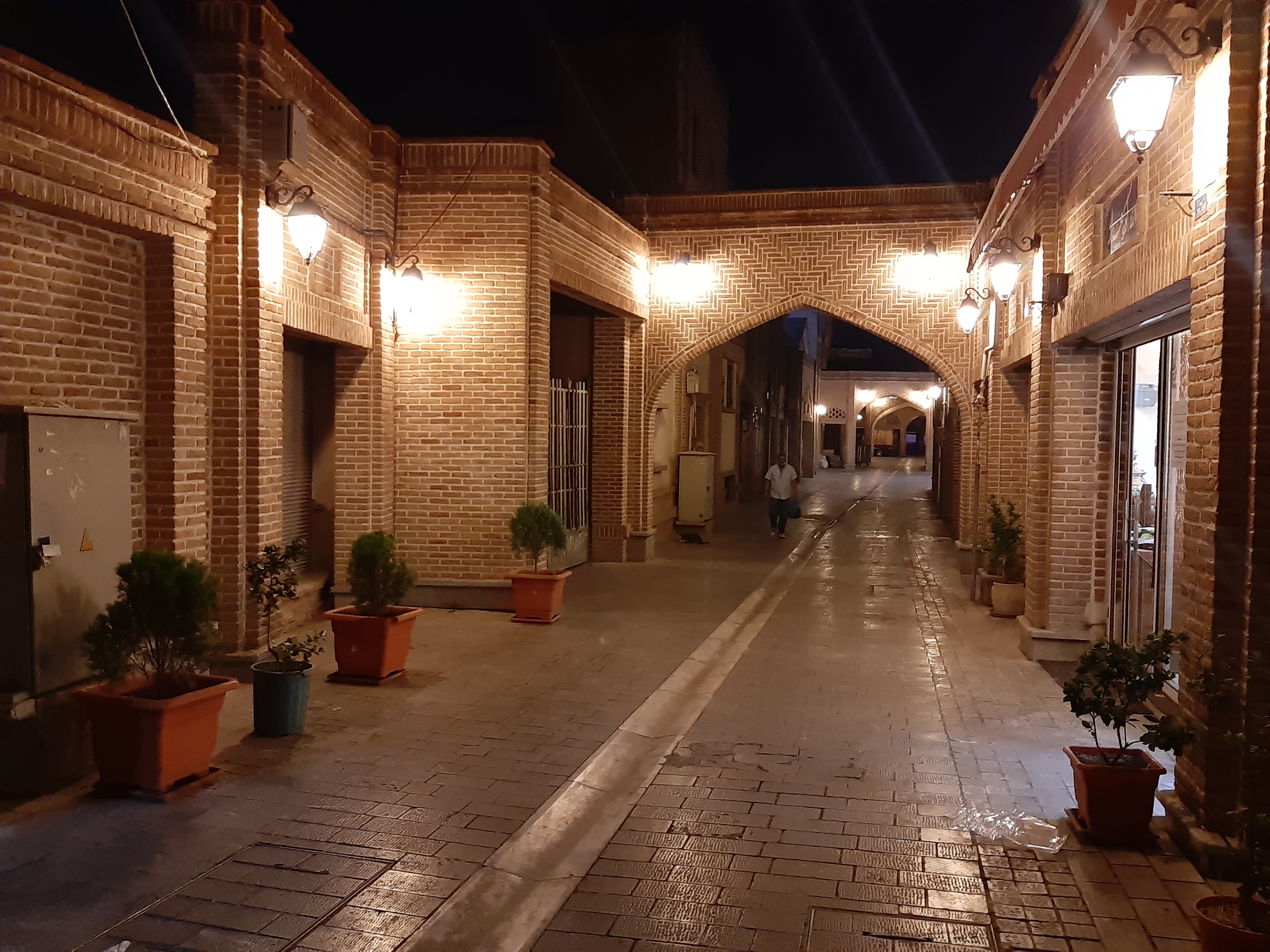
Courtyards and Ghamar Khanoom Houses
The architecture of Oudlajan reflected its prosperity. The signature dwelling was the Ghamar Khanoom house: many rooms arranged around a central courtyard with a small pool at its center. These were not modest homes. The courtyards caught light and air in a dense urban fabric, and the pools provided both cooling and a meditative focal point. Oudlajan was the wealthiest neighborhood during the Qajar era and maintained that status well into the Pahlavi period. The grand houses spoke of families with connections to the court, to commerce, to the wider world.
A Neighborhood Consumed
The decline began around 1921, when sweeping political changes reshaped Iranian society. Oudlajan lost its status gradually, then completely. The greatest pressure came from the Grand Bazaar, which expanded relentlessly into the surrounding streets. What had been courtyard homes became storage depots for the market. Rooms that once held families became warehouses for merchandise. The transformation was total: a wealthy residential neighborhood devoured by commerce, its grand houses subdivided and repurposed, some becoming gathering places for addicts. The synagogues stand, but the community that built them has largely moved on, scattered across Tehran and the wider world.
From the Air
Oudlajan is located at 35.681N, 51.429E in the historic core of Tehran, immediately northeast of the Grand Bazaar. From the air, the old neighborhood is identifiable by its dense, irregular street pattern contrasting with the modern grid that surrounds it. Mehrabad International Airport (OIII) is approximately 10 km to the west. Best viewed at 2,000-4,000 feet AGL to appreciate the tight urban fabric of old Tehran versus the wider boulevards of the modern city.