Pachmarhi
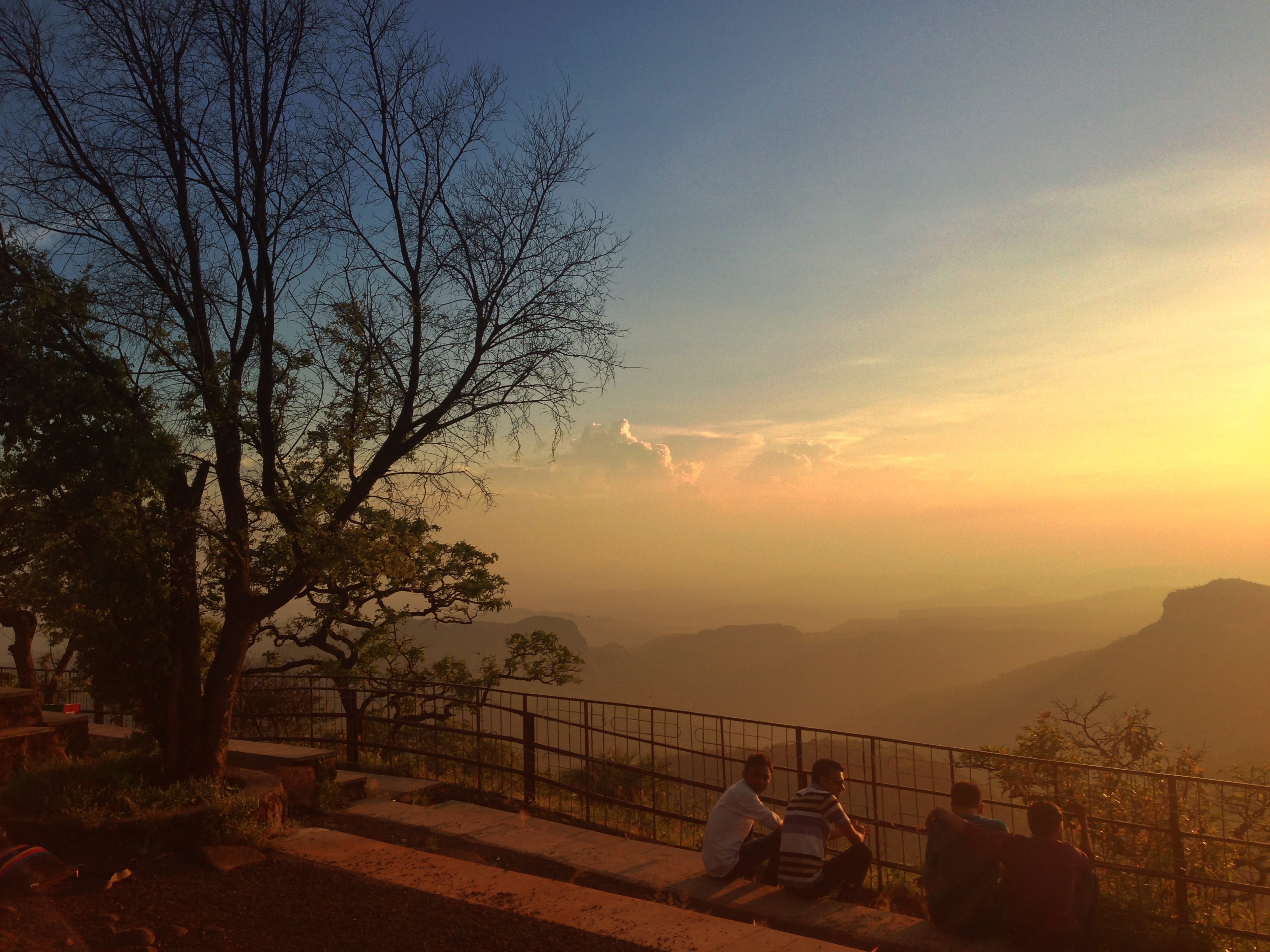
The airstrip at Pachmarhi is seldom used. Grass has overtaken it, and local accounts describe tigers and gaur wandering across its length. This detail says more about the place than any tourism brochure could: Pachmarhi is a hill station where the wilderness never fully agreed to stay outside the town limits. Sitting at 1,067 meters in a valley of the Satpura Range, the town is entirely contained within the Pachmarhi Biosphere Reserve and the Satpura Tiger Reserve. Its Hindi nickname -- Satpura ki Rani, the Queen of Satpura -- understates the case. This is less a queen's palace than a queen's forest, with a small town living inside it.
Five Caves and a Captain
The name Pachmarhi derives from two Hindi words: Panch, meaning five, and Marhi, meaning caves. Legend attributes the five hilltop caves to the Pandava brothers of the Mahabharata, who supposedly carved them during their thirteen years of exile. In 1857, Captain James Forsyth of the British Army and Subhedar Major Nathoo Ramji Powar noticed this elevated plateau while traveling to Jhansi. They recognized its potential immediately. Within years, the British had established a cantonment and sanatorium here, a place where troops from the sweltering Central Provinces could recover in cool mountain air. Powar was appointed Kotwal, the keeper of the armoury. By 1901, Pachmarhi's year-round population stood at 3,020, doubling during the hot months when it served as the summer capital. The cantonment remains to this day -- the Indian Army still administers most of the town's land.
Water Falling Everywhere
Pachmarhi collects an average of 2,012 millimeters of rain per year, and the water finds dramatic ways down. Rajat Prapat -- Silver Falls -- drops through a gorge, leaving a silver streak visible from a distance. Bee Falls takes its name from the sound: at a distance, the cascade hums like a swarm. Dutchess Fall, the most remote of the waterfalls, requires a steep one-kilometer descent to reach, but rewards the effort with a pool containing Doctor Fish. Apsara Vihar, the Fairy Pool, is formed where a mountain stream pools into a natural basin before cascading onward. Behind Dhupgarh, the range's highest point at 1,352 meters, mountain streams converge at a place simply called Sangam -- confluence. The water runs crystal clear in every season except the monsoon, when the streams swell and turn opaque with silt.
Temples on the Peaks
Chauragarh, the third-highest peak in the Satpura Range, carries a Shiva temple at its summit. The fort there was built by Sangram Shah of the Gond dynasty, and the pilgrimage tradition was further developed during the Maratha era. During the festivals of Nagpanchami and Mahashivratri, devotees climb to the temple and leave iron tridents -- trishuls -- as offerings. Over time, roughly 200,000 trishuls have accumulated, bristling along the path and crowding the temple precinct. The caves of Jatashankar and Bada Mahadev, deeper in the hills, drip with fresh water fed by the mountains above them, natural springs emerging through stalactite-filled chambers. These are not museum sites. People worship in them daily, the same way people have for centuries.
The Biosphere Breathing
UNESCO designated the Pachmarhi area a Biosphere Reserve in May 2009, recognizing the rare plant species concentrated here. The reserve spans nearly 5,000 square kilometers across three districts -- Hoshangabad, Chhindwara, and Betul -- and incorporates Bori Sanctuary, Satpura National Park, and Pachmarhi Sanctuary. The forests produce mangoes, jamun, tendu, and lesser-known fruits like khatua, khinni, and chaar. Oak and blue pine grow alongside medicinal plants and herbs. The animal inventory reads like a field guide to central Indian wildlife: tiger, leopard, gaur, chital, sambar, muntjac, Indian wolf, dhole, nilgai, chinkara, Indian giant squirrel, and flying squirrel. Pachmarhi has also become a filming location for Bollywood -- Shah Rukh Khan shot scenes for Asoka here in 2001, and the town's forested valleys have doubled for various cinematic wildernesses. But the real wilderness needs no doubling. It is right there, on the airstrip, walking across the grass.
From the Air
Located at 22.47°N, 78.43°E at 1,067 meters elevation in the Satpura Range, Madhya Pradesh. Dhupgarh (1,352 m), the highest point in the Satpuras and in Madhya Pradesh, is nearby. The town has a seldom-used airstrip and helipad between the town and Dhupgarh. Nearest functioning airports: Bhopal (VABP, approximately 200 km northwest) and Jabalpur (VAJB, approximately 200 km northeast). Nearest railhead is Pipariya, on the Mumbai-Kolkata route. The town is visible as a clearing in dense forest on the Satpura plateau. Best viewed at 3,000-5,000 feet AGL to appreciate the valley setting and surrounding peaks.