Pacific Tsunami Warning Center
On April 1, 1946, a magnitude 8.6 earthquake struck the Aleutian Islands and sent a wall of water racing south across the Pacific. Five hours later, waves as high as 55 feet slammed into the north shore of Hawaii, killing 159 people in Hawaii and 165 across the Pacific. There had been no warning. The seismic instruments existed, the tide gauges existed, but no system connected them to the people standing on those beaches. That failure haunted Hawaii for years, and it gave birth to something unprecedented: a facility on Ford Island, in the middle of Pearl Harbor, whose sole purpose would be to listen to the Earth and tell the Pacific Rim when to run.
A System Built on Loss
Two years after the 1946 disaster, the Seismic Sea Wave Warning System became operational, headquartered at the Coast and Geodetic Survey's observatory in Honolulu. It was modest at first: four seismic stations and nine tide gauges, covering only Hawaii and only distant tsunamis, the kind generated thousands of miles away. Local events, the kind that could kill within minutes rather than hours, fell outside its scope. That gap closed after another tragedy. In 1975, a powerful earthquake off Hawaii's coast killed several people and proved that nearby tsunamis were just as deadly. The center began issuing local warnings, expanding its mission from distant threat to immediate danger. By April 1965, the system had grown into the Pacific Tsunami Warning System, serving every nation ringing the Pacific with data from 20 seismic stations and 40 tide gauges. Today the center, now called the Pacific Tsunami Warning Center, coordinates with 46 member states and draws on roughly 600 seismic stations and 500 sea-level sensors worldwide.
Eyes on the Ocean Floor
The real breakthrough arrived in the mid-1990s, when NOAA began developing the Deep-ocean Assessment and Reporting of Tsunamis system, known as DART. By 2001, six stations dotted the Pacific, each one a deceptively simple pairing: a pressure recorder bolted to the seabed at depths between 1,000 and 6,000 meters, and a surface buoy floating overhead. When a tsunami passes, it compresses the water column just enough for the bottom recorder to detect the change. That data travels upward via acoustic modem to the buoy, which relays it by satellite to the warning center on Ford Island. After the catastrophic 2004 Indian Ocean tsunami killed more than 230,000 people, the network expanded dramatically. Plans were announced in 2005 to add 32 more DART buoys, and by mid-2007 the Pacific had a far denser web of deep-ocean sentinels. The system transformed tsunami forecasting from educated guesswork into precise modeling, giving coastal communities not just a warning but a timeline.
The Language of Alerts
When the ground shakes, the center's analysts face a question that carries enormous weight: how loud should they shout? The answer comes in a tiered system of alerts, each calibrated to the level of known threat. A Warning means dangerous coastal flooding and powerful currents are expected; people must move to high ground immediately. An Advisory signals strong currents and dangerous waves for anyone in or near the water. A Watch means the threat level is still being determined, and a fourth category, Information, covers distant events that pose no current hazard. Since 2014, the center issues official warnings only for U.S. coastlines and the British Virgin Islands. For the rest of the Pacific's nations, it provides advice rather than formal alerts, a change prompted by the confusion that arose when PTWC warnings conflicted with a country's own independently issued alerts. Each nation now owns its final call, but the data flowing from Ford Island remains the foundation they all rely on.
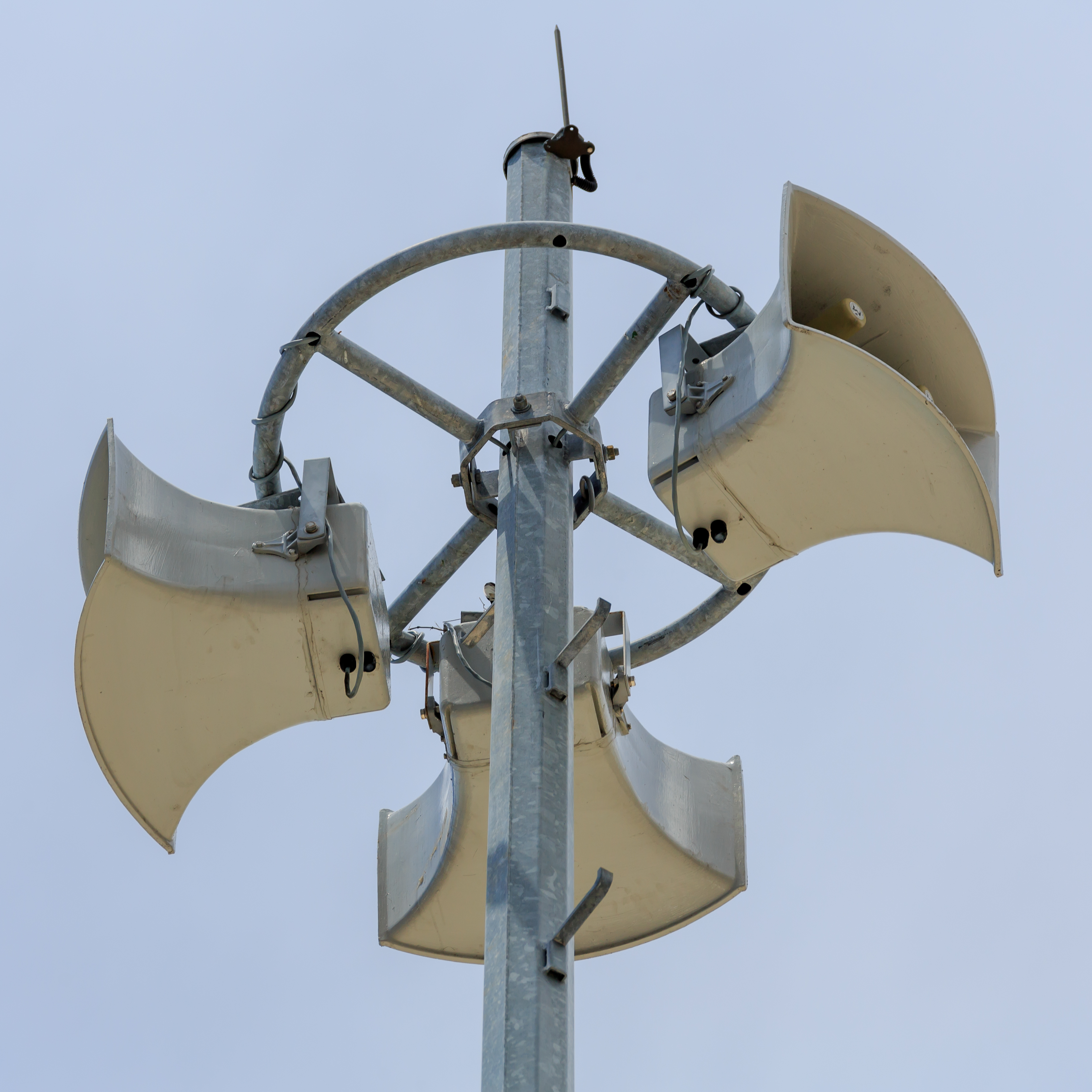
The Sound of Sirens
For Hawaii's residents, the warning system is not an abstraction. Civil defense sirens are tested on the first business day of every month, their wail rising and falling across valleys and coastlines as a reminder that the ocean can turn hostile without much notice. When a real alert goes out, those sirens are joined by police vehicles broadcasting from roving loudspeakers, radio and television interruptions through the Emergency Alert System, and digital notifications via RSS feeds, email, and text messages. The annual operating cost of the entire Pacific Tsunami Warning System was estimated in 2015 at between 50 and 80 million dollars, a figure that covers everything from satellite links to the bottom-pressure recorders rusting slowly in the deep Pacific. It is, by any measure, a bargain for the lives it protects across an ocean that spans more than 60 million square miles and borders some of the most seismically active zones on the planet.
From the Air
Located at 21.315N, 157.999W on Ford Island in the middle of Pearl Harbor, Oahu. From the air, Ford Island is the prominent landmass in the center of the harbor, visible at any altitude. The PTWC building sits on the island's southern shore. Nearest airports: PHNL (Daniel K. Inouye International, 4 nm northwest), PHHI (Wheeler Army Airfield, 12 nm north). Best viewed at 2,000-4,000 ft for Ford Island context; Pearl Harbor itself is unmistakable from higher altitudes.