Pagosa Hot Springs
In 2020, a team from the Colorado School of Mines and the U.S. Geological Survey lowered a measuring device into the main vent of Pagosa Hot Springs. The cable ran out at 1,002 feet. They never found the bottom. That measurement earned a Guinness World Record for hot springs depth, but the real story here is not the record itself -- it is the fact that for at least nine millennia, people have been drawn to this spot in the San Juan Basin where scalding, sulfur-rich water forces its way to the surface from volcanic rock 6,000 feet underground. The Ute people had a name for it that translates to either "healing water" or "water that smells bad." Both descriptions remain accurate.
Nine Thousand Years at the Water's Edge
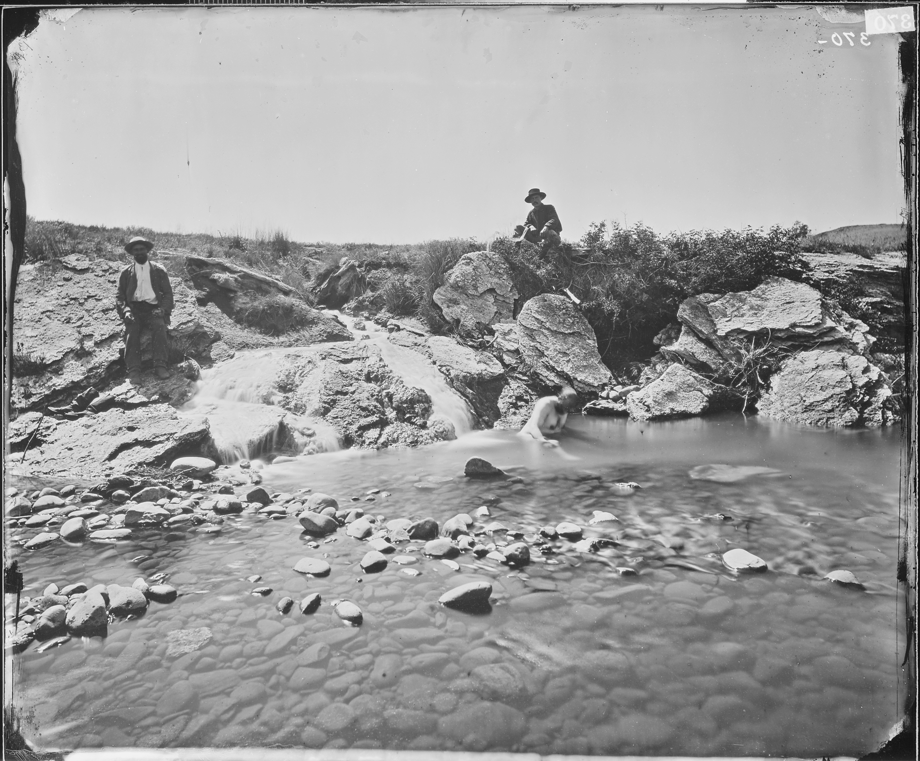
A 9,000-year-old Folsom point found at a shelter foundation near the springs tells the oldest part of the story. The Folsom culture -- Ice Age hunters who tracked bison across the high plains -- knew this place. A thousand years ago, the Ancestral Puebloans settled along the nearby San Juan River and used the springs regularly. Pottery shards from their era surfaced dramatically in the 1950s, blasted from underground when a well excavation detonated and the spring water ejected material that had been buried for centuries. The Pueblo people, Ute, Navajo, and Apache all used the springs in their turn. In Navajo cosmology, this area holds particular significance: it is near the place where the Dine emerged from the Fourth World underground into the present Fifth World. When Captain John Macomb recorded the springs in 1859 during his exploration of the San Juan Mountains, he noted that multiple tribes considered it a sacred site and a "place of peace."
From Sacred Ground to Swimming Pool
After the Civil War, the U.S. government considered building a convalescent hospital at the thermal springs. The project was never approved, and the land was sold to private individuals who wasted no time commercializing it. Primitive wooden bathhouses went up along both banks of the San Juan River. In the 1930s, Cora Woods purchased land from local entrepreneur Bill Lynn and built a geothermal swimming pool along with 23 small cabins -- no electricity, dirt floors, woodstoves, and oak iceboxes. In the 1950s, the Giordano family, European coal miners who had settled near Walsenburg, Colorado, bought the property from Woods. They dug additional geothermal wells and built an enclosed bathhouse beside the thermal pool. The transformation from sacred indigenous site to roadside attraction happened within a single human lifetime, a pattern repeated across the American West wherever hot water met entrepreneurial ambition.
The Mother Spring
The geological engine driving all of this sits on the western slope of the Continental Divide. The main vent, known as the "Mother Spring," pushes sulfur-rich water to the surface at temperatures measured between 131 and 144 degrees Fahrenheit. The water originates from volcanic activity 6,000 feet below -- heat left over from the same geological forces that built the San Juan Mountains. The mineral cocktail is remarkable: sodium at 790 mg/L, sulfate at 1,400 mg/L, potassium at 90 mg/L, along with traces of lithium, arsenic, boron, and more than a dozen other elements. The pungent smell of hydrogen sulfide -- produced by sulfur interacting with anaerobic bacteria in the mineral water -- announces the springs long before you see them. It is the same smell the Ute described centuries ago, the unmistakable signature of deep Earth chemistry breaking through to the surface.
A Depth Beyond Measure
The 2020 depth measurement expedition was a collaboration between the Center for Mineral Resources Science at the Colorado School of Mines and the U.S. Geological Survey. Their device descended 1,002 feet into the Mother Spring before the cable reached its full extension. The bottom was never found. That single data point -- a measurement that is really a lower bound, not a final answer -- earned Pagosa Springs its claim as home to the world's deepest known geothermal hot spring. The springs continue to flow today as they have for millennia, indifferent to the bathhouses, the record books, and the tourists who soak in pools along the San Juan River. Somewhere far below, volcanic heat keeps working on ancient rock, sending mineral-laden water upward through channels whose full extent remains unknown.
From the Air
Located at 37.27N, 107.02W in the San Juan Basin of Archuleta County, Colorado. The springs sit along the San Juan River at the town of Pagosa Springs, visible as a cluster of development in the valley. Look for steam rising from the spring pools, especially visible in cooler weather. The San Juan Mountains provide dramatic terrain to the north and east. Nearest airport: Stevens Field (KPSO) in Pagosa Springs. Wolf Creek Pass and the Continental Divide are visible to the east. Recommended viewing altitude: 5,000-8,000 ft AGL for the river valley context.