Palouse
The hills roll like frozen ocean waves, their curves traced by contour lines of wheat and lentils that photographers have made famous. The Palouse - pronounced 'puh-LOOSS' - covers southeastern Washington and extends into Idaho, a region where wind-deposited soil called loess built up over millennia to create terrain that looks nowhere else on Earth. The hills can rise 200 feet from trough to crest, their slopes too steep for anything but the specialized farming equipment that works this land. From Spokane in the north to Walla Walla in the south, the Palouse produces wheat that feeds the world while providing landscapes that define the American West.
The Loess Hills
Nowhere else in America looks quite like the Palouse. The rolling terrain formed from loess - fine sediment deposited by wind during the ice ages, accumulating up to 250 feet deep in some areas. The resulting hills have gentle rounded forms that catch light in ways that photographers have made iconic, the same slopes changing character from morning gold to evening shadow, from spring green to summer gold to winter brown.
The agriculture follows the contours. Farmers work slopes that would defeat ordinary equipment, their tractors and combines designed for terrain that tilts dramatically. Wheat dominates, but lentils, peas, and canola add variety to the rotation. The farming is industrial in scale but artisanal in its relationship to the land - each hill demands individual attention, each slope presents unique challenges. The result is a working landscape that happens to be beautiful, agriculture as art without intending to be.
Steptoe Butte
Rising 1,000 feet above the surrounding hills, Steptoe Butte provides the viewpoint that makes the Palouse visible. The butte is a quartzite remnant of ancient mountains, the softer loess having accumulated around its base like snow around a fence post. A road spirals to the summit, where photographers gather at sunrise and sunset to capture the hills spreading to every horizon.
The butte takes its name from Colonel Edward Steptoe, whose 1858 expedition against Spokane and Palouse warriors ended in disaster near here. The Battle of Pine Creek, as it became known, was one of several conflicts that marked European expansion into the inland Northwest. Today the landscape appears peaceful - farmhouses scattered across the hills, grain elevators marking the small towns, roads following the contours in long sweeping curves. But the history runs beneath the surface, the land changed utterly since the Palus people gave it their name.
Palouse Falls
The Palouse River drops 198 feet in a single plunge, creating the largest waterfall in Washington east of the Cascades. The setting is dramatic - basalt cliffs rising from a narrow canyon, the falls visible from overlooks where visitors gather despite the remote location. The drive from any direction crosses miles of wheat country, the canyon appearing suddenly, carved deep into the plateau.
The canyon itself tells geological history. During the Ice Age floods that shaped the Columbia Basin, the Palouse River was forced from its original channel, carving a new path through the basalt that culminates in the falls. The result is a waterfall in a setting of stark, dark rock and golden grassland - beauty that takes effort to reach but rewards those who make the journey. Washington designated Palouse Falls as the state waterfall in 2014, recognition of its singular character.
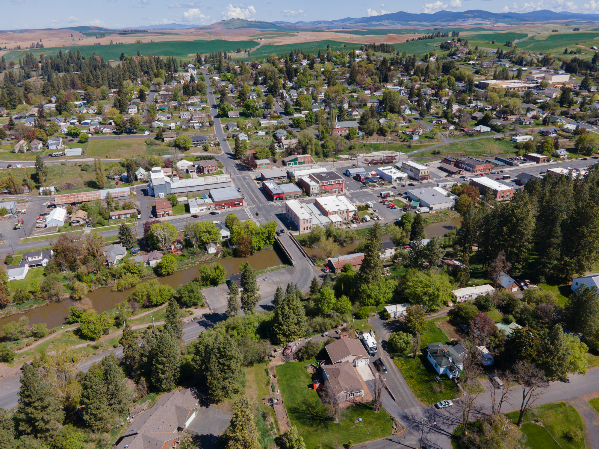
College Country
Two major universities anchor the Palouse: Washington State University in Pullman and the University of Idaho in Moscow, their campuses separated by eight miles and a state line. The rivalry between Cougars and Vandals intensifies an already concentrated college culture - together the universities create an academic community in the heart of farming country, their students and faculty shaping towns that would otherwise be agricultural service centers.
Spokane, on the Palouse's northern edge, provides the urban hub for the region. The city hosted Expo '74, the smallest city ever to host a World's Fair, and converted its fairgrounds into Riverfront Park. Gonzaga University and Eastern Washington University add to the educational presence. The combination creates an inland empire - Spokane's historic nickname - where wheat wealth built cities and universities that persist even as the economics have evolved beyond agriculture.
From the Air
Located in southeastern Washington, centered approximately at 46.92N, 117.67W. The distinctive rolling loess hills are clearly visible from altitude - look for the wave-like agricultural terrain with contour-farmed slopes. Steptoe Butte is visible as an isolated prominence rising above the surrounding farmland. Palouse Falls is in a canyon near the southwestern edge of the region. Spokane anchors the north; Pullman and Moscow are visible in the southeast. US-195 runs north-south through the heart of the region. Spokane International Airport (KGEG) serves the area; Moscow-Pullman Regional Airport (KPUW) provides regional access.