Paraguana Peninsula
From the air, the trick is obvious. Paraguana hangs off the northern coast of Venezuela like a balloon on a string, connected to the mainland by a narrow tombolo of wind-blown sand called the Medanos Isthmus. That connection did not always exist. As recently as 3,000 years ago, Paraguana was an island, separated from Falcon State by open water. The Caribbean slowly built a bridge of sediment between them, grain by grain, and what was once an island in the Leeward Antilles became a peninsula. The geology made it; the oil industry remade it.
An Island That Forgot the Sea
Paraguana's geology tells a story of patience. During the early Holocene, within the last 12,000 years, sand and sediment accumulated along the shallow shelf between the island and the mainland. The tombolo thickened, stabilized, and eventually became permanent dry ground -- a process so gradual that no generation would have noticed it happening. Today the Medanos Isthmus is a landscape of shifting dunes and dry scrub, narrow enough that you can see water glinting on both sides from the road that crosses it. Locals still sometimes call Paraguana "Cora Island," an old name that preserves the memory of its former separation. The peninsula juts into the Caribbean with Aruba just 27 kilometers to the north and Bonaire and Curacao slightly beyond. Geographically, it belongs as much to the island chain of the Leeward Antilles as it does to the South American mainland. The wind that scours the dunes never lets you forget how thin the connection really is.
The Refinery Coast
Oil transformed Paraguana in the twentieth century. Three large refineries occupy the peninsula's western shore, together forming the Paraguana Refinery Complex -- the second largest such facility in the world (after Jamnagar in India) and the largest in the Western Hemisphere. Most of the crude oil processed by PDVSA, Venezuela's state oil company, passes through these plants before being shipped internationally through the ports of Amuay and Cardon. For decades, the refineries drew engineers and workers from across Venezuela and beyond, building a community around the industrial infrastructure that grew along the coast. Many of those engineers eventually migrated to the United States to work at Citgo, the Venezuelan-owned refining company headquartered in Houston, carrying technical knowledge gained on the Paraguana coast to refineries thousands of miles away. The petroleum infrastructure dominates the western shoreline, its flare stacks and cylindrical storage tanks visible long before you reach the coast by road or by air. But oil is only one layer of an economy that has been diversifying, slowly and unevenly, under the weight of Venezuela's broader economic challenges.
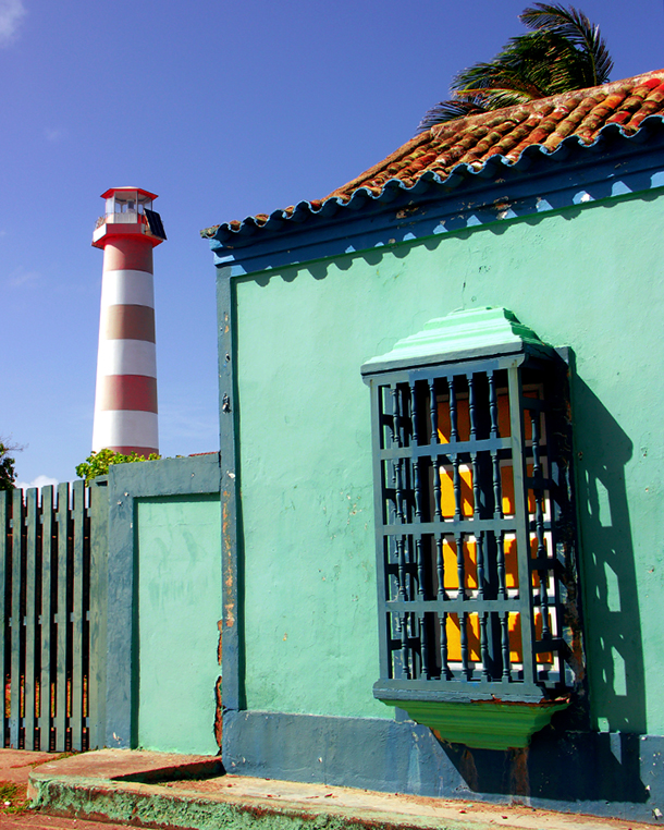
Duty-Free and Open Skies
Paraguana's designation as a duty-free zone gave it a commercial identity distinct from the rest of Venezuela. International shops -- many run by Arabian merchants who established themselves here decades ago -- line the streets of Punto Fijo, the peninsula's largest city. Shopping malls like Las Virtudes and Sambil Paraguana draw visitors from across the country and from neighboring Caribbean islands, offering goods at prices that the mainland cannot match. Tourism has grown alongside the retail economy, fueled by beaches that stretch along much of the coastline. Visitors arrive from Colombia, Aruba, Bonaire, and Curacao as well as from other Venezuelan states, and the beachfront hotel Eurobuilding Villa Caribe caters to those looking for something beyond a day trip. The Josefa Camejo International Airport in Punto Fijo keeps Paraguana connected to the wider world, serving both commercial flights and the steady traffic of oil industry workers moving between the peninsula and Caracas.
The Day the Sky Went Dark
On February 26, 1998, Paraguana experienced two and a half minutes of totality when a solar eclipse crossed the peninsula's northern coast. The center line of the path ran parallel to the northwest shoreline, and the skies cooperated perfectly -- completely clear, as the peninsula's arid climate often guarantees. Bleachers were set up north of Punto Fijo for the occasion, transforming a stretch of open ground into an impromptu amphitheater for thousands of upward-gazing spectators. For a place defined by slow geological processes and industrial routine, the eclipse was a reminder that spectacle can arrive without warning, demanding attention and then vanishing. The moon's shadow raced across the Caribbean, crossed Paraguana in minutes, and was gone. The refineries kept running. The sand on the tombolo kept shifting, as it has for millennia, slowly reshaping the isthmus that holds Paraguana to the continent by a thread of sediment and wind.
From the Air
Located at 12.00N, 70.00W in the Caribbean Sea off northern Venezuela. The peninsula's distinctive shape -- a large bulge connected to the mainland by the narrow Medanos tombolo -- is unmistakable from altitude. Josefa Camejo International Airport (SVJC) in Punto Fijo serves the region. Aruba (TNCA) lies 27 km to the north. The Paraguana Refinery Complex on the western shore is a prominent visual landmark, with flare stacks and tank farms visible from cruising altitude. Terrain is flat and arid with scattered dunes.