Paraguayan Chaco
Somewhere in the western Chaco, the savanna grasses grow as tall as a person on horseback. Hardwood forests rise from the flatland like islands in a sea of dry vegetation, and a plant called vinal sprouts thorns up to a foot long -- so destructive to livestock that Argentina once declared it a national plague. This is the Paraguayan Chaco, the Region Occidental: sixty percent of the country's landmass, watered by barely 400 millimeters of rain per year, home to indigenous nations whose presence predates any colonial map and Mennonite farmers who arrived less than a century ago. Almost nobody lives here. Almost everything does.
A Bestiary of the Thorn Forest
The wildlife roster reads like a naturalist's fever dream. Jaguars, ocelots, and pumas hunt through the understory. Giant armadillos and giant anteaters forage in the scrub. The maned wolf stalks on improbably long legs. Capybaras wade through seasonal wetlands, and guanacos -- the wild ancestors of the llama -- range across the drier western reaches. The Chacoan peccary, a pig-like animal believed extinct until its rediscovery in 1975, is endemic to the region. Greater rheas, large flightless birds the locals call nandu, maintain one of their biggest populations here. In the streams, more than 400 fish species swim alongside dorado and piranha. At least sixty snake species, including pit vipers and constrictors, share the ground with innumerable lizards. Even the amphibians have adapted with flair: the waxy monkey tree frog secretes a waxy coating to prevent itself from drying out, while the coraline frog buries itself deep underground during the dry season and emerges only when the rains arrive -- to eat other frogs.
Quebracho and the Espinal
The vegetation shifts as you move from east to west, following the soil. Eastern Chaco has a park-like quality: clusters of trees and shrubs interspersed with tall herbaceous savannas. Farther west, a transition zone gives way to the espinal, a dry forest of spiny, thorny shrubs and low trees. The most striking formation is the quebrachales -- vast, low hardwood forests dominated by quebracho trees, whose wood is so dense that the name translates roughly as 'axe-breaker.' Quebracho is commercially valuable for both its tannin and its lumber. Near the rivers, these forests occupy higher, better-drained ground, creating a landscape where dark woodland patches float above golden grassland. In the more arid western reaches, thorn forest prevails, its continuity broken only by palm groves, saline steppes, and savannas born of fire or deforestation.
The People Who Stayed
At least eleven indigenous groups have historic roots in the Chaco: the Chamacoco and Zamuco along the Paraguay River in the northeast, the Nivacle near the Pilcomayo in the southeast, the Enxet and Enenhlet in the central and lower Chaco, and the Toba Maskoy in the central-east, among others. These communities maintain their languages, cultures, and traditional crafts, particularly in the northern Chaco. Artisans work with karanda'y palm fiber to create handbags, baskets, and porta terere -- the carrying bags for the thermos flasks used to serve terere, Paraguay's cold mate drink. Indigenous knowledge of natural medicine remains deep. The northern Chaco is considered the best place to purchase fine indigenous crafts, and the Sanapana and Nivacle peoples still speak their respective languages in the forest reserves they call home.
Rally Dust and Floodplain Salt
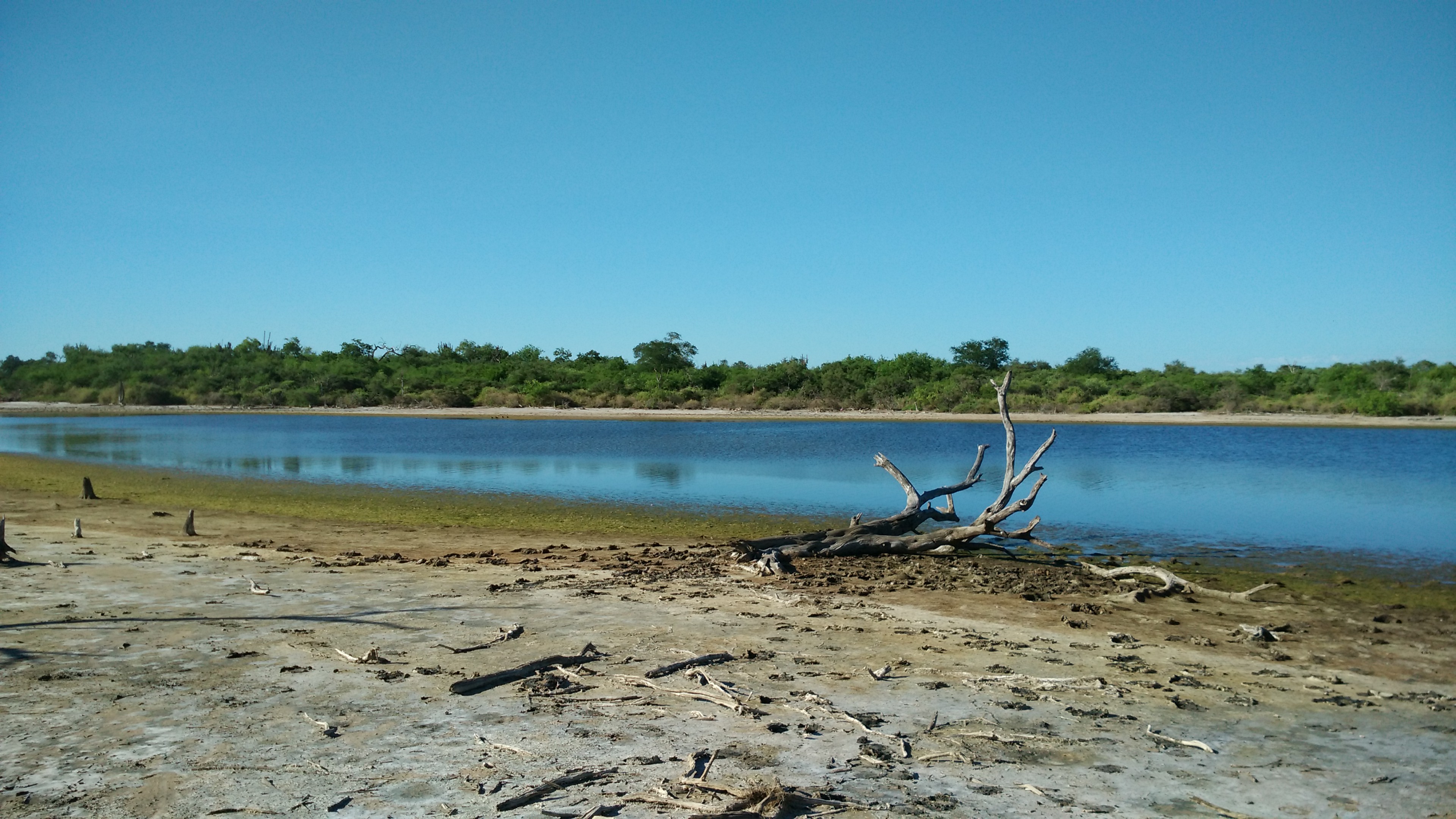
The Chaco's terrain tells its story in two elements: salt and dust. The soils are saline, limiting agriculture. The floodplain slopes gently eastward toward the Paraguay and Pilcomayo rivers, which irrigate the region through their tributaries. Rainfall averages just 400 millimeters per year, but occasional floods transform low-lying areas, summoning species adapted to temporary wetlands. Every year, the Trans Chaco Rally sends vehicles tearing across the dusty roads in one of South America's most grueling automotive races, the extreme heat and unpaved surfaces combining to make it legendary. Three national parks protect significant territory: Defensores del Chaco at 7,200 square kilometers, Tinfunque at 2,800, and Teniente Enciso at 400. Ecotourism remains more potential than reality, but the region's biodiversity rivals the Amazon's in density and uniqueness.
From the Air
Located at approximately 22.11S, 59.26W in western Paraguay. This is a vast, sparsely populated region covering roughly 246,000 square kilometers. Major settlements include Villa Hayes, Filadelfia, and Mariscal Estigarribia. The military airbase at Mariscal Estigarribia (SGME) is the most significant airfield in the region. The terrain is extremely flat, with thorn forest and savanna dominating the view from altitude. The Paraguay River defines the eastern boundary, and the Pilcomayo River runs along the southern border with Argentina. Visibility is generally excellent due to dry conditions, except during rare flood events or occasional dust from the Trans Chaco Rally routes.