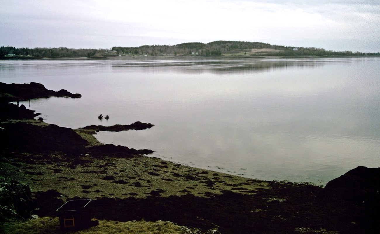
Passamaquoddy Bay
In the winter of 1922, the ice on Passamaquoddy Bay grew thick enough for men to walk from Deer Island to St. Andrews -- a crossing that erased, briefly, the border between two nations and the water that enforces it. The bay rarely freezes, but it has always been a place where boundaries blur. Straddling Maine and New Brunswick at the mouth of the St. Croix River, Passamaquoddy Bay is an inlet of the Bay of Fundy whose islands, passages, and shifting tides have complicated diplomacy, encouraged smuggling, and defied clean cartography for more than four centuries. The Passamaquoddy people, whose name the bay carries, lived here long before any border existed. French colonists arrived in 1604, built forts on the islands, and were eventually expelled. English settlers followed in the 1760s. The boundary question has been debated ever since.
A Geography That Defies Division
Passamaquoddy Bay is enclosed by a tangle of islands, peninsulas, and narrow passages that make it look, from the air, like a puzzle missing a few pieces. The southernmost point is West Quoddy Head in Lubec, Maine. From there the bay stretches northeastward past Campobello Island, engulfs Deer Island, and reaches the New Brunswick mainland at L'Etete. Three entrances connect it to the Bay of Fundy: Letete Passage northeast of Deer Island, Head Harbour Passage to the southeast, and Quoddy Narrows between Lubec and southern Campobello. The Head Harbour Passage serves as the deepwater entry, and its sovereignty remains a point of contention. Both governments agree it is Canadian water, but the United States maintains that international law grants commercial vessels a right of passage, while Canada asserts the authority to regulate traffic -- a dispute sharpened by proposals to route liquefied natural gas supertankers through the passage to terminals on the American shore.
Drawing Lines on Water
The international boundary through Passamaquoddy Bay has been disputed since the American Revolution. The Treaty of Ghent, which ended the War of 1812, included provisions for commissioners to divide the bay's islands between the United States and Great Britain, yet confusions persisted for decades. The Passamaquoddy Bay Treaty of 1910 finally established the boundary as a series of seven connected straight lines running from a point between Treat Island and Friar Head southward through the bay to the middle of Grand Manan Channel. Even this formal resolution left room for argument. The narrow passages between Maine and the islands -- Western Passage, Friar Roads, Lubec Narrows, Quoddy Narrows -- host the international line itself, meaning that fishermen, ferry operators, and pleasure boaters cross back and forth between nations with every tack. The largest community on the bay proper is St. Andrews, New Brunswick, though the twin border towns of Calais, Maine, and St. Stephen, New Brunswick, sit just upstream on the St. Croix River.
The Smugglers' Bay
A border running through busy, island-studded waters practically invites smuggling, and Passamaquoddy Bay has obliged for centuries. After the American Revolution, an illicit trade flourished across the bay's many channels. The peak came in 1808 during Jefferson's Embargo, when smugglers moved tens of thousands of barrels of American flour into New Brunswick in defiance of the law. During the War of 1812, the contraband flowed in reverse -- British manufactured goods slipped south into American hands. After the war, the primary commodity shifted to gypsum from Nova Scotia, which was deposited directly into American vessels on or near the border. What made Passamaquoddy smuggling distinctive was its openness. Officials and locals on both sides winked at the trade, viewing it as an economic necessity rather than a crime, and actively discouraged interference from authorities in distant capitals who lacked appreciation for the bay's particular realities. The border was a legal abstraction; the bay was where people lived and worked.
Old Sow and the Fundy Tides
Passamaquoddy Bay sits at the entrance to the Bay of Fundy, home to the highest tides on Earth, and the water moving through its passages does not behave gently. Between Deer Island and Eastport, the collision of tidal currents creates the Old Sow whirlpool, the largest tidal whirlpool in the Western Hemisphere. The bay's tides also make it a subject of recurring interest for tidal power generation, with proposals dating back decades for harnessing the enormous volumes of water that surge through its entrances twice daily. The city of Eastport, Maine, perches between Passamaquoddy Bay and Cobscook Bay to its west, a community shaped entirely by water -- its currents, its commerce, and its rhythms. From the air, the bay's complex geometry of islands, passages, and headlands reveals a landscape that has resisted human efforts to simplify it, whether through treaties, tariffs, or straight lines drawn on charts.
From the Air
Located at 45.08°N, 67.08°W on the border between Maine and New Brunswick. From the air, the bay's complex island geography is immediately apparent -- Deer Island, Campobello Island, and numerous smaller islands create a maze of passages and channels. The international boundary runs through the water. St. Andrews, New Brunswick is visible on the northern shore. Nearest airports include St. Stephen Airport (CYHP) to the north and Eastport Municipal Airport to the west. Best viewed at 3,000-5,000 feet AGL to appreciate the full bay geometry and island layout.