Perhentian Islands
The name gives away the purpose. Perhentian means "stopping point" in Malay, and for centuries these islands off the coast of Terengganu served as exactly that -- a place where traders moving between Bangkok and the Malay Peninsula could anchor, take on water, and wait for favorable winds. British colonial cartographers translated the concept literally, marking them on 19th- and 20th-century charts as "The Station Islands." The traders are gone now. In their place come divers, snorkelers, and backpackers drawn to some of the clearest water in the South China Sea. But the islands still function as a stopping point, just for a different kind of journey.
Two Islands, Two Personalities
The archipelago contains nine islands, but only two are inhabited. Perhentian Besar -- Greater Perhentian -- is the larger and quieter of the pair, favored by families and couples seeking beachfront calm. Perhentian Kecil -- Lesser Perhentian -- draws the budget travelers and backpackers, its Long Beach lined with guesthouses and the sound of music drifting from beach bars after dark. Five smaller islands surround them: Susu Dara (whose Malay name translates evocatively as "Virgin Milk"), Serengeh, and Rawa lie off Kecil's coast, while the others scatter across the warm shallows. None are inhabited, though boats ferry snorkelers to their reefs. There are no paved roads on any of the islands, and no airstrip. Jungle trails connect one beach to the next, and speedboats from Kuala Besut on the mainland provide the only transport link.
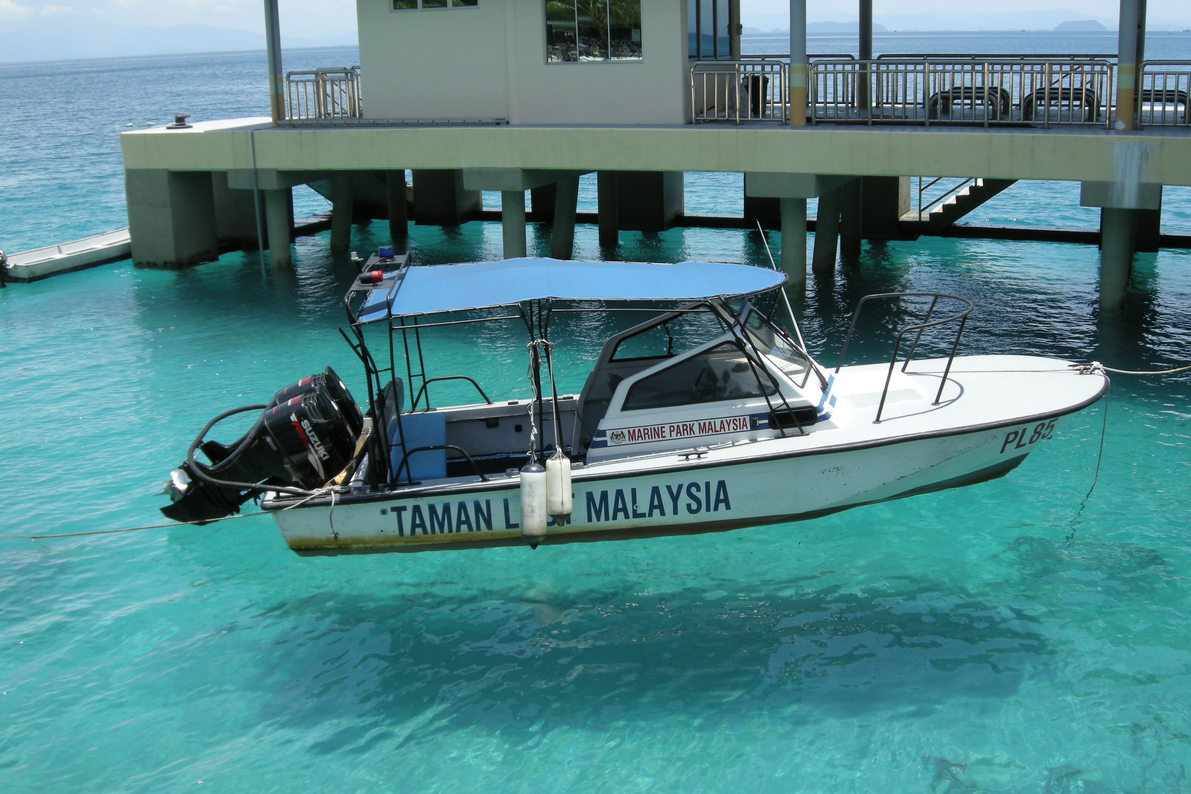
Beneath the Surface
The water is the reason people come. Gazetted as a marine park in 1994, the Perhentian Islands prohibit all fishing within two nautical miles of shore, and the results are visible the moment you put your face below the waterline. Green and hawksbill sea turtles cruise the reefs alongside black-tipped reef sharks, blue-spotted rays, cuttlefish, and clouds of clownfish darting among anemones. Dozens of dive sites ring the two main islands, with several more offshore. The tropical climate holds temperatures steady around 30 degrees Celsius, and during peak season -- roughly March through October -- the sea goes glassy calm, ideal for diving. Then the monsoon arrives. From November through February, heavy rains and high seas close the islands to tourism almost entirely, shutting down ferry services and resorts alike. Only a daily boat serving the fishing village on Kecil continues to run.
Refuge and Arrival
The islands carry a more somber chapter in their modern history. During the 1970s, Pulau Perhentian was one of the landing points for Vietnamese refugees -- the boat people who fled across the South China Sea in overcrowded vessels, often with little more than hope and a compass heading. The Perhentian Islands were among the first landfall possibilities for boats heading southwest from Vietnam, their beaches a place of arrival after days or weeks of desperate open-water crossing. The locals on the islands, themselves a fishing community speaking Kelantanese Malay, witnessed the human cost of war washing up on their shores. It is a history the resort brochures rarely mention.
Paradise Under Pressure
Tourism has transformed the islands' economy but outpaced their infrastructure. Diesel generators still provide most electrical power -- two wind turbines installed in 2007 sat unconnected to the grid for years. The islands have mobile phone coverage but, as of recent reports, still lack a sewage system. Some resorts discharge wastewater directly into the sea that visitors came to see for its clarity. On the beaches, egg poaching threatens the turtle populations that the Department of Fisheries works to protect through a hatchery program. The tension is a familiar one across Southeast Asia's island destinations: the beauty that attracts visitors is fragile enough to be destroyed by their presence. Whether the Perhentian Islands can balance the two -- remain a stopping point without becoming a cautionary tale -- depends on decisions being made now about what kind of place these islands will be next.
From the Air
Located at approximately 5.92N, 102.73E off the northeast coast of Peninsular Malaysia in the South China Sea. The two main islands are clearly visible from altitude as green landmasses surrounded by turquoise shallow water and coral reefs. Nearest airport is WMKC (Sultan Ismail Petra Airport, Kota Bharu) approximately 60 nautical miles to the northwest. The mainland jetty town of Kuala Besut is the closest coastal reference point.