Pilbara
The word comes from bilybara, meaning "dry" in the local Aboriginal language, and it does not exaggerate. The Pilbara covers 505,000 square kilometres of Western Australia's northwest -- an area larger than California -- yet barely 62,000 people live here, clustered in a handful of mining towns and ports. Between those outposts stretches a landscape of red earth, spinifex grasslands, and deep gorges carved through rocks that are among the oldest on the planet. This is a place where the deep past is literally underfoot, where 3.5-billion-year-old stone contains some of the earliest evidence of life on Earth, and where the modern economy turns on extracting what that ancient geology left behind.
The Bones of the Earth
When Earth's original crust fractured and was reabsorbed through the churning forces of plate tectonics billions of years ago, a few primeval fragments survived. The Pilbara craton is one of them -- a slab of mineral-rich rock roughly 3.5 billion years old that refused to be swallowed back into the mantle. Stromatolite fossils embedded in these formations represent some of the earliest known life, microbial mats that built layered structures in shallow ancient seas. Australia drifted into its current position as a separate continent about 30 million years ago, and Aboriginal peoples inhabited the Pilbara for at least 40,000 years before Europeans arrived in 1861. Near Karratha, Murujuga National Park preserves one of the densest concentrations of rock art on the planet, with petroglyphs carved into boulders depicting animals, human figures, and ceremonies spanning tens of thousands of years.
Iron and Dust
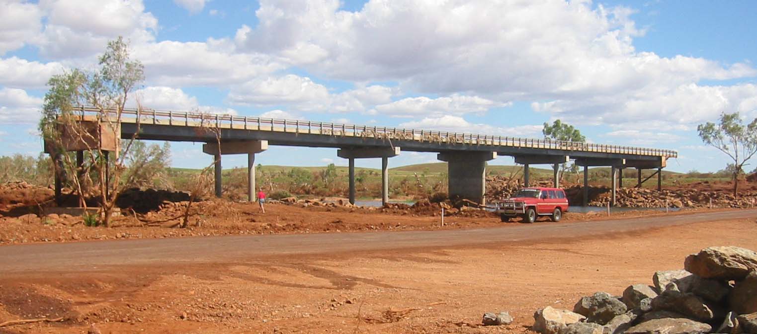
For decades after European settlement, the Pilbara remained a backwater of scattered sheep stations and a brief gold rush around Marble Bar in the 1880s. Everything changed in the 1960s with the discovery of vast iron ore deposits. Mining towns like Newman sprang up inland almost overnight, and an astonishing network of private railways -- with trains stretching nearly three kilometres long -- was built to carry the ore to the coast. Port Hedland and the twin towns of Karratha-Dampier swelled into dusty industrial ports, and half a billion tonnes of iron ore now pass through Port Hedland annually. The dust gets everywhere, a fine red film settling on windshields, windowsills, and skin. Offshore oil and gas fields discovered in the 1980s added another industrial layer. The result is that large swathes of the Pilbara are scarred by extraction, but the scale of the operation is itself remarkable -- a vast machine feeding steel mills across Asia.
Red Canyons and Living Shores
Beyond the mines and railways, the Pilbara holds natural landscapes of startling beauty. Karijini National Park, the region's premier attraction, drops visitors into slot canyons of layered red and orange rock where waterfalls plunge into emerald pools. The gorges cut through banded iron formations that record the moment Earth's atmosphere first became oxygen-rich, making every cliff face a page from a planetary textbook. Along the coast, flatback turtles -- a species found only in Australian waters -- nest on beaches within sight of the ore-loading facilities. Dugongs and dolphins cruise the shallow, mangrove-fringed waters. On full-moon spring tides between March and October, an optical phenomenon called the "staircase to the moon" appears along the Pilbara shore, where water caught in sand ripples at low tide creates the illusion of luminous steps climbing toward the rising moon.
Survival in the Furnace
Marble Bar competes for the title of the world's hottest town, with summer temperatures routinely exceeding 45 degrees Celsius. The Pilbara's economy runs on fly-in, fly-out workers who endure two-week shifts before escaping back to Perth, 1,650 kilometres to the south. Cyclones scour the coast between December and April, transforming dry riverbeds into torrents and making sealed roads impassable. The towns themselves carry a transient, utilitarian character -- accommodation is often contracted to mine workers, and visitors can find slim pickings and high prices. Yet the harshness is part of the attraction. At Jigalong, the community established in 1907 to build the rabbit-proof fence, Molly Craig was twice taken from her family by government authorities intent on forcibly assimilating Aboriginal children. Twice she walked home, covering a thousand kilometres along the route of the fence -- a story of resilience that echoes the character of this unforgiving land.
Edge of the Map
There is no inland route east through the Pilbara into the Northern Territory -- not even a dirt track. The eastern reaches, including Karlamilyi National Park, demand full four-wheel-drive expedition capability and complete self-sufficiency. The Shire of East Pilbara alone covers an area roughly the size of Japan but holds just 11,000 people. From the air, the Pilbara reveals its true scale: the red plain stretching to every horizon, the ruler-straight ore railways converging on tiny coastal settlements, the dark gashes of gorges where water has patiently cut through rock for eons. It is a landscape that makes human presence feel provisional, a thin industrial layer over ancient stone that will outlast whatever we build upon it.
From the Air
Centered at approximately 21.00S, 119.00E. The region spans roughly from Onslow in the west to the edge of the Great Sandy Desert in the east. Port Hedland Airport (YPPD) and Karratha Airport (formerly Dampier, YPKA) are the main airfields. Newman Airport (YNWN) serves the inland mining hub. From cruising altitude, the red earth, ruler-straight ore railways, and deep gorges of Karijini are visible in clear conditions. The coast shows salt pans, tidal flats, and the distinctive white-and-red pattern of iron ore loading facilities.