Pillar Point Bluff
From the edge of Pillar Point Bluff, you can watch the Mavericks waves build. Half a mile offshore, swells that have traveled thousands of miles across the Pacific hit a shallow underwater reef and explode upward into walls of water that, on the biggest days, exceed 60 feet. The bluff trail sits perpendicular to the Pillar Point peninsula, a county park that provides the closest publicly accessible vantage point to one of the world's most famous big-wave surf breaks. But Mavericks is just the headline. The bluff itself -- windswept, grassy, and remarkably quiet for a spot so close to the action -- tells a longer story.
A Walk Between Worlds
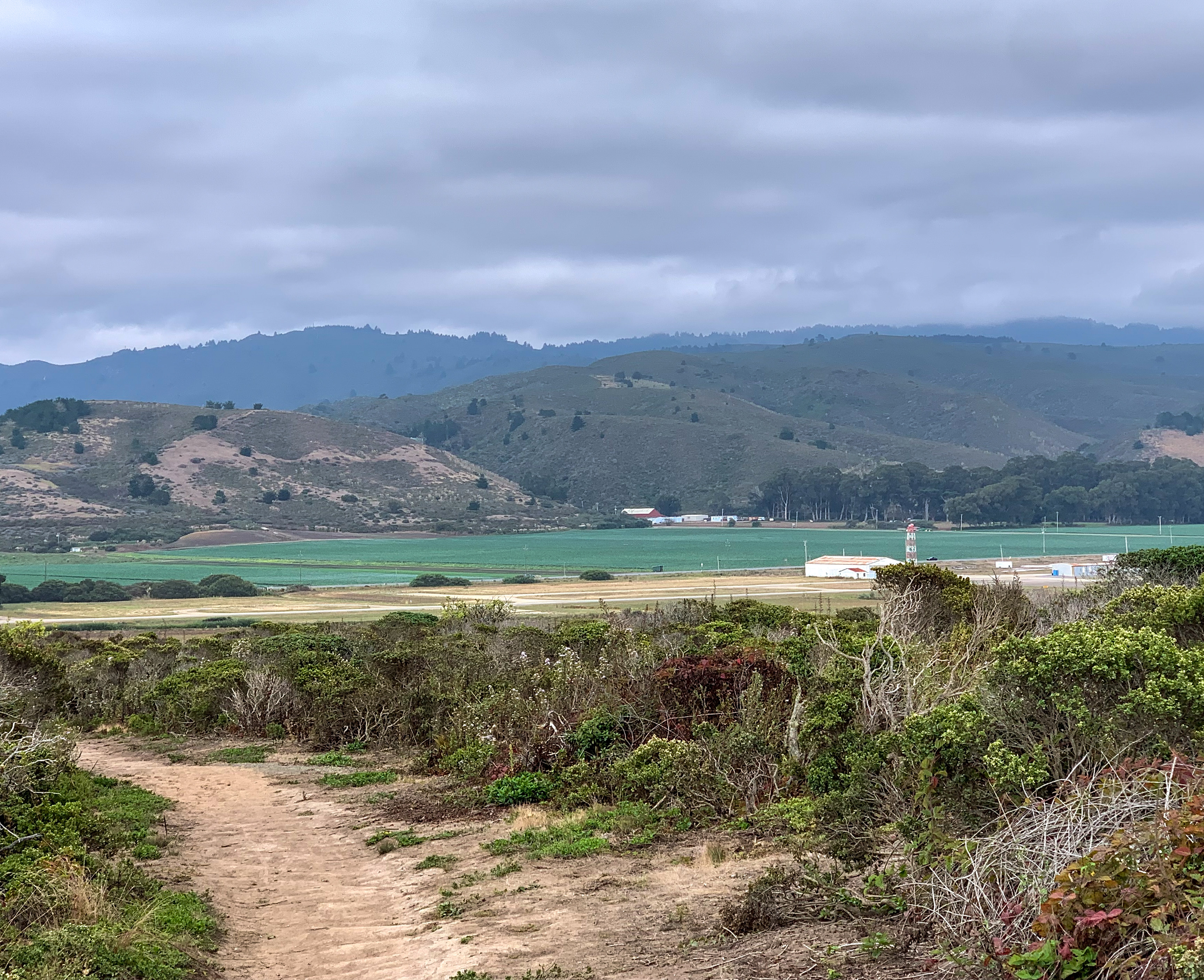
The bluff trail runs along a ridge that separates the open Pacific to the west from Pillar Point Harbor to the east. On one side, waves crash against the rocky shore. On the other, fishing boats bob at anchor in the protected harbor waters. The trail is flat and accessible, tracing the bluff edge through coastal scrub and grassland. Gray whales migrate past during winter and spring, and watchers on the bluff can sometimes spot their spouts and flukes without binoculars. Harbor seals haul out on the rocks below. The views extend south across the crescent of Half Moon Bay and north toward Montara Mountain and the Devil's Slide cliffs.
Rancho Land to County Park
Before it became a public trail, this land was part of Rancho Corral de Tierra, the Mexican land grant that covered much of the northern San Mateo coast. The bluff sits adjacent to Pillar Point Air Force Station, the military installation that has occupied the peninsula's tip since 1940. The county park provides a buffer between the active radar facility and the public shoreline, offering access to a stretch of coast that might otherwise be off-limits. The Ohlone people inhabited this area long before the Spanish, the Mexicans, or the American military claimed it, living along the riparian zones of nearby creeks and harvesting the abundant marine resources that still define this coastline.
The View That Keeps Them Coming Back
Pillar Point Bluff draws visitors for a reason that resists quantification: it is one of the most atmospheric spots on the San Mateo coast. Fog rolls in and burns off. The ocean changes color with the angle of the sun. Mavericks' waves provide drama when the swells cooperate, and on flat days the bluff offers solitude and birdsong instead. The harbor below supplies the fresh Dungeness crab and rockfish that show up on restaurant menus throughout the Bay Area, connecting the bluff's scenic beauty to the working maritime economy it overlooks. There is no admission fee, no visitor center, no interpretive signage competing for attention. Just a trail, a bluff, and the Pacific.
From the Air
Located at 37.50°N, 122.50°W on the Pillar Point peninsula, adjacent to Pillar Point Air Force Station (active military -- do not overfly at low altitude). The bluff trail is visible as a narrow strip of open land between the harbor and the ocean. Half Moon Bay Airport (KHAF) is approximately 2 nm south. San Francisco International (KSFO) is 15 nm north.