The River Ran Red
The Pomo people call it Bloody Run. In 1871, a militia rounded up the remaining Pomo families in Potter Valley - a lush, abundant place they called Be-lo-kai, meaning verdant valley - and forced them to march to the Round Valley Reservation. Those who could not keep up were shot and thrown into the Eel River. One tribal member's account, passed down through generations, puts it plainly: "The white men herded all the Indians like cattle, and if you were too slow you were shot from behind and thrown in the river." Many of the dead were elderly people and children. The Pinoleville Pomo Nation traces its identity through that march - not because trauma defines them, but because what they did afterward does.
Three Villages in the Verdant Valley
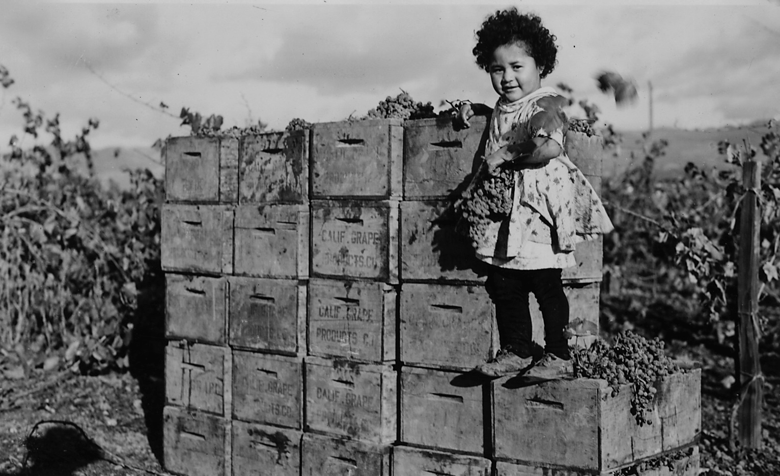
Before European contact, the Pomo people of Potter Valley lived in three main villages called Pomo, Sedam (also known as Tse tum), and Canel (or Shanel, Sanel), along with several smaller camps scattered through the valley. Located eighteen miles north-northeast of present-day Ukiah, Potter Valley offered everything a nomadic people needed. The Pomo were not farmers - they moved with the seasons, following food sources across Northern California's diverse landscape. In spring, they walked to the coast to collect seaweed, abalone, and shellfish, which they dried and carried back for winter storage. They hunted small game year-round using traps, spears, and arrows. The villages governed themselves through councilmen called tca ka-li in the Northern Pomo language, leaders sometimes referred to by later English speakers as captains. Marriage and ceremony bound the villages together into a cooperative network that had functioned for centuries before the first Spanish soldiers appeared on the horizon.
Contact and Catastrophe
The Spanish, the Russians, and the fur traders arrived in the early 1800s, and with them came forced removal, epidemic disease, and servitude. The Pomo in Potter Valley were initially more sheltered than coastal groups - their valley sat far enough inland to avoid the worst of the early colonial violence - but a smallpox epidemic devastated the village of Canel in the 1830s. The real destruction came with American settlers. Beginning in 1853, ranchers moved into Potter Valley and claimed the land for livestock. Ground the Pomo had gathered food from for generations was suddenly fenced and grazed. The villages were pushed to the margins, then pushed again. By 1871, patience or tolerance or whatever word the settlers used to describe their forbearance had run out. The militia came, and the march to Round Valley began. The Eel River, which the Pomo knew intimately as a source of food and a corridor for seasonal travel, became the place where their people's blood mixed with the current.
Buying Home Back
Seven years after Bloody Run, a large group of Potter Valley Pomo left the Round Valley Reservation and did something remarkable: they pooled their resources and purchased fifty-one acres of land on the north side of Ukiah. They were not given this land. They were not granted it by treaty or executive order. They bought it, with money they earned, in a country that had marched them at gunpoint to a reservation less than a decade earlier. By 1905, a Bureau of Indian Affairs survey found the community overcrowded on its privately held parcel. Through the Homeless, Landless Indian Act, the federal government purchased additional land adjacent to the Pomo-owned property in 1911, establishing what became known as the Pinoleville Rancheria. The name stuck, and the community that had walked out of Potter Valley through blood and loss had a place again.
Terminated and Restored
In 1966, the federal government terminated the Pinoleville Rancheria. Under the broader policy of Indian termination, the government divided the rancheria land into individual parcels, ended its trust relationship with the tribe, and effectively declared that the Pinoleville Pomo no longer existed as a political entity. The land that had been purchased by Pomo families and augmented by federal action was parceled out. The community that had survived the march, bought its own land, and built a home was told it was no longer a tribe. Seventeen years later, in 1983, Tillie Hardwick - a member of the Pinoleville community - filed a class action lawsuit against the United States. Hardwick argued that the Bureau of Indian Affairs had failed to fulfill the agreements it had made at the time of termination. The court agreed. The ruling in Tillie Hardwick v. United States restored federal recognition to seventeen terminated California tribes, including the Pinoleville Pomo Nation.
Self-Governance
On June 26, 2005, the Pinoleville Pomo Nation adopted its own constitution and elected a seven-member tribal council to serve four-year terms. The following year, the tribe signed a Title IV compact with the U.S. government and was recognized as a Self-Governance Tribe - a designation that gives the nation direct control over its federal funding and programs rather than routing them through the Bureau of Indian Affairs. The Pomo basket-weaving tradition, recognized worldwide for its extraordinary fineness of weave and diversity of technique, continues among community members. The baskets carry cultural knowledge in their patterns: the Dau design, a small opening between stitches also called the Spirit Door, allows good spirits to enter and circulate. The Pinoleville Pomo Nation today operates from its land on the north side of Ukiah - the same general area where their ancestors chose to settle after walking out of Round Valley in 1878, the place they bought with their own money and have refused, through termination and restoration and everything between, to leave.
From the Air
Located at 39.18°N, 123.22°W on the north side of Ukiah, California, in the Russian River Valley of Mendocino County. The rancheria is situated along the valley floor with the Coast Ranges rising to the west and the Mayacamas Mountains to the east. Highway 101 runs through Ukiah and is the primary visual landmark. Potter Valley, the tribe's ancestral homeland, is visible 18 miles to the north-northeast. Best viewed below 3,000 feet for valley detail. Nearest airport: Ukiah Municipal Airport (KUKI) approximately 3 nm south. Round Valley Reservation, site of the forced march destination, lies approximately 30 miles to the north-northeast over mountainous terrain. Morning valley fog is common, especially autumn through spring.