Pinson Mounds
Eight young women buried together, each wearing a headdress adorned with copper. Four older men in a neighboring tomb, one clutching rattles etched with abstract designs. These burials, discovered in the 1980s by archaeologist Robert Mainfort inside the Twin Mounds, hint at the ceremonial world that thrived here nearly two thousand years ago. Pinson Mounds, rising from a plateau above the South Fork of the Forked Deer River in Madison County, Tennessee, is the largest group of Middle Woodland period mounds in the United States. Constructed mostly between 100 and 300 AD, the complex encompasses at least 17 prehistoric earthworks, an earthen geometric enclosure, and habitation areas spread across a landscape where oak forests, cypress bottomlands, and beech-covered slopes converge.
Aligned to the Sky
The builders of Pinson Mounds were watching the heavens. At the center of the complex stands Sauls' Mound, the second-highest surviving prehistoric mound in the United States, its rectangular base oriented so that each corner points toward one of the four cardinal directions. Mound 29, in the eastern section of the complex, aligns with Sauls' Mound in the direction of the equinox sunrise. Mound 28 nearly aligns with the summer solstice sunrise. No mound has yet been found marking the winter solstice direction, but the pattern suggests these were not random piles of earth. Like Cahokia centuries later, Pinson Mounds appears to express a cosmology written in soil and geometry, a people's understanding of their place beneath the turning sky.
The Eastern Citadel
East of Sauls' Mound, the land drops and then rises again, and there stands the Eastern Citadel, a name given by Smithsonian archaeologist William E. Myer in the early twentieth century. Despite the martial title, the enclosure was almost certainly ceremonial rather than defensive. Its earthen walls form a near-perfect semicircle, enclosing an area where the western edge sits lower than the eastern. The complex divides into three sections: the Inner, centered on Sauls' Mound; the Western, or Ozier section, separated from the Inner by a stream called Hudson Branch; and the Eastern section with its geometric enclosure. The Eastern and Western sections stand roughly equidistant from the Inner complex, a symmetry that reinforces the sense of deliberate planning Myer first proposed over a century ago.
Discoveries Beneath the Earth
Land speculator Joel Pinson arrived in what is now Madison County after the Chickasaw were forced from West Tennessee in 1818 and gave the complex its name in 1820. For decades the mounds drew little attention, until a Jackson-area journalist named J.G. Cisco wrote about them in the late nineteenth century, catching the interest of the Smithsonian Institution. When Myer investigated in 1916, he proposed that the entire complex followed a master plan. Excavations in 1963 by Dan Morse and Richard Polhemus uncovered what appeared to be an oval-shaped house, a large hearth, and refuse pits, confirming the mounds belonged to the Middle Woodland period. Later work at the Cochran area turned up exotic artifacts, suggesting Pinson Mounds served as a manufacturing site for grave goods or a regional trade center.
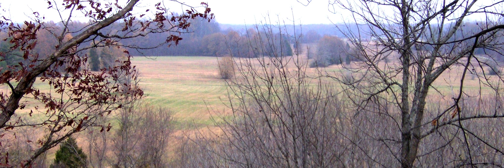
Where Three Forests Meet
The mounds occupy a plateau-like upland above the wetlands of the Forked Deer River, which forms the complex's southern boundary. Three distinctive ecological zones converge here: oak forests crown the plateau, cypress forests fill the wet bottomlands, and beech forests cloak the slopes between. The ground is composed of Tertiary period rocks known for producing high-quality clay, a resource the mound builders may well have valued. Today, Pinson Mounds State Archaeological Park preserves this landscape. Walking trails thread through the earthworks, a boardwalk extends over the river wetlands south of Sauls' Mound, and the park museum, built to resemble a platform mound, houses artifacts from decades of excavation. Each September, Archaeofest celebrates the people who shaped this land into something that endures.
From the Air
Located at 35.498N, 88.683W in Madison County, Tennessee, approximately 10 miles southeast of Jackson. The mound complex sits on a plateau above the South Fork of the Forked Deer River, with Sauls' Mound as the most prominent feature visible from altitude. Best viewed at 2,000-3,000 feet AGL in clear conditions. Nearest airports: McKellar-Sipes Regional Airport (KMKL) approximately 12nm northwest. The forested plateau and surrounding wetlands create distinct visual contrast.