Pituba (neighbourhood)
Pituba was designed before it existed. In the years around World War I, a mining engineer named Joventino Pereira da Silva looked at a farm on Salvador's eastern coast and saw something almost nobody else did: a modern city. Together with his brother-in-law Manoel Dias da Silva, he bought the land, commissioned the engineer Teodoro Sampaio to sign a master plan, and in 1919 published the blueprint for *City Light* - ten boulevards running parallel to the sea, fifteen cross-streets perpendicular to the beach, explicit on the model of Belo Horizonte, which had itself been a planned capital only two decades earlier. The city of Salvador approved the plan in 1932. A century later, roughly 250,000 people live along those streets. The Tupi name of the original farm, *Pituba*, means something like *breath of the sea*.
A Grid by the Ocean
Walk Pituba today and you can read its plan in the pavement. The avenues run long and straight, crossing at right angles, almost defiantly orderly in a city whose historic center is built on a cliff above a horseshoe bay and follows the cliff's shape. The coastal road is Otávio Mangabeira Avenue, named for the governor under whose administration much of it took shape. Manoel Dias da Silva Avenue - formally named in 1964 for the planner's brother-in-law - runs parallel a few blocks inland and is Pituba's commercial spine. For decades the streets were unpaved; only in the 1960s, under Mayor Nelson Oliveira, did asphalt finally cover them, with the work finishing in the 1970s. That is when Pituba actually became the neighborhood it had been designed to be. The grid was waiting. The city had to grow into it.
The Mall That Changed the Northeast
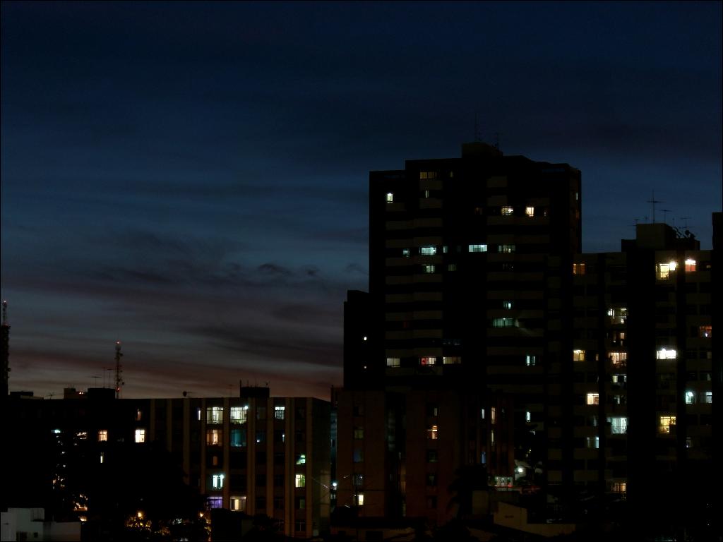
In 1975 Shopping Iguatemi opened in Pituba. It was the first shopping mall built anywhere in northeastern Brazil, and in regional urban history it is a specific kind of turning point - the moment middle-class commerce began migrating from the old downtown into the new planned neighborhoods. Shopping Itaigara followed in 1977. Through the 1980s and 90s Avenida Tancredo Neves consolidated itself as the new economic center of the city, earning the nickname *Bahia's Paulista*, after São Paulo's financial spine. The verticalization of Pituba accelerated. Apartment towers rose on the parallel avenues, corporate buildings clustered at the intersections, banks and boutiques and restaurants multiplied. Avenida ACM was cut through, bringing more traffic and more development. By the time the sidewalks along Avenida Manoel Dias da Silva were reformed and relit in 1999, Pituba was already one of the most expensive neighborhoods in Salvador.
Schools, Beach, and a Busy Day
Pituba is where Salvador's upper and upper-middle classes send their children to school. The Colégio Militar de Salvador, Colégio Anchieta, Colégio Gregor Mendel, Colégio Versailles, and Colégio Módulo all operate within the district. Headquarters of the Brazilian postal service in the region is located here. Bars and banks line every major avenue. The beach - Praia da Pituba - runs along the neighborhood's eastern edge: not one of the best in Bahia by reputation but the closest to the business district, which is enough for it to stay busy most afternoons. After dark the area does not go quiet. Theaters, galleries, nightclubs, and bars pick up where the shopping malls leave off. A reasonable working definition of Pituba is: you can probably get there on one of at least five major avenues, you can eat in a different restaurant every week for a year, and someone is almost certainly throwing a party tonight within walking distance.
The Administrative Shape
Administratively, Pituba is bigger than it feels on a walk. Salvador's Administrative Region VIII - called Pituba officially - includes a cluster of neighborhoods that share character and commerce with the core grid: Iguatemi, Itaigara, Caminho das Árvores, Jardim América, Parque Nossa Senhora da Luz, Parque Júlio César, Parque São Vicente, several *loteamentos* (planned subdivisions) such as Aquárius and Vela Branca, and the massive Salvador Shopping complex. Today's Pituba counts something like 25 boulevards and more than 150 streets. It is a different neighborhood from the Pituba of 1932, when the plan was approved but almost nobody lived here. What the planners drew on paper a century ago is now the spine along which much of middle-class Salvador measures out its week.
From the Air
Located at 13.00°S, 38.46°W on the Atlantic coast of Salvador, Bahia, about 7 km east of the historic center. The neighborhood occupies a gently sloping coastal terrace, with the beach on the eastern edge and dense high-rise development inland. The main visual cues from the air are the long parallel avenues, the cluster of mall and office towers around Shopping Iguatemi and Shopping Salvador, and the curve of Praia da Pituba. Recommended viewing altitude 2,000-3,500 ft AGL. Nearest airport: Salvador International (SBSV), about 15 km north, with full ILS service. Sea breeze from the southeast dominates most of the day. Convective cells can build rapidly over the coast in the rainy season (December-April); watch for heavy rain and brief but intense thunderstorms. The Salvador TMA is busy with scheduled airline traffic - coordinate carefully with ATC.