Pityusic Islands
The name is older than most countries. Ancient Greek sailors passing these islands saw dense forests of Aleppo pine and called them Pityussai -- "covered in pine trees." The name compressed into Pityuses, then informally into the Pine Islands, and it has clung to this cluster of Mediterranean landmasses for more than two thousand years. Today the Pityusic Islands comprise Ibiza, Formentera, the tiny S'Espalmador, and a scattering of rocky islets, all sitting about 80 kilometers east of the Spanish mainland and 100 kilometers southwest of Mallorca.
Pirate Haven at the Edge of Empire
By around 200 BC, the Pityuses had attracted occupants far less pastoral than their pine-scented name suggested. Cilician pirates -- the organized crime syndicates of the ancient Mediterranean -- established a base on the islands, using their position between the Iberian Peninsula and North Africa as a launching point for raids on commercial shipping. They found an unlikely ally in Quintus Sertorius, a renegade Roman general who had broken with the Republic and formed an alliance with the pirates to pursue his own military campaigns. Rome eventually dispatched a large fleet under Caius Annius Luscus to clear both the pirates and the renegade general from the islands, but the episode established a pattern: the Pityuses' geographic position made them irresistible to anyone seeking to control Mediterranean sea lanes.
On Ptolemy's Map
When the Alexandrian geographer Claudius Ptolemy compiled his Geography in the 2nd century AD, he listed the two largest Pityusic islands under their Latin names: Ebyssus for Ibiza and Ophiusis for Formentera. He noted that Ebyssus possessed a town of the same name -- the settlement that would evolve into modern Ibiza Town with its fortified Dalt Vila. Ptolemy's inclusion of the islands in his world map placed them within the known cartographic framework of the Roman Mediterranean, a formal acknowledgment that these pine-covered rocks mattered to the empire's geographic self-understanding. Formentera's Latin name, Ophiusis, derives from the Greek for "land of snakes," a counterpoint to the benign pine imagery that gave the archipelago its collective name.
Two Islands, Two Identities
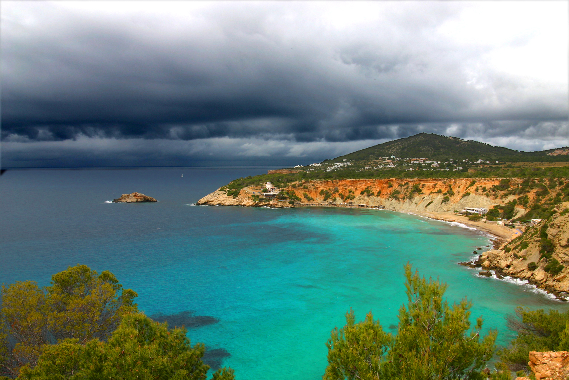
Ibiza and Formentera share a name, a geologic origin, and the narrow strait of Es Freus, but they have developed distinct characters over the centuries. Ibiza is mountainous by Balearic standards, historically more populated, and since the mid-20th century, globally famous for its nightlife and tourism economy. Formentera is flat, quieter, and accessible only by sea -- qualities that have made it attractive to visitors seeking precisely what Ibiza sometimes overwhelms. The distinction is reflected in governance: since 2007, the islands have been administered by separate insular councils, ending a long period of shared administration. Each council functions as a comarca within the autonomous community of the Balearic Islands, giving the Pityuses a degree of local self-governance within the larger Spanish state.
Neither Balearic Nor Separate
The Pityusic Islands exist in a geographic limbo that has puzzled administrators for centuries. Politically, they belong to the Balearic Islands, the Spanish autonomous community that also includes Mallorca and Menorca. Geographically and historically, some scholars have distinguished between the Pityuses and the "proper" Balearics -- the Gymnesian Islands of Mallorca and Menorca -- arguing that the pine-covered southwestern cluster forms a distinct sub-group. The distinction is partly geological, partly cultural. The Pityuses sit closer to the Iberian mainland, and their history of Phoenician settlement, piracy, and maritime commerce followed a different trajectory than the larger islands to the northeast. Whether they are truly separate or simply a western extension of the Balearic chain depends on whom you ask and which century's cartography you prefer.
From the Air
The Pityusic Islands are centered around 38.70N, 1.45E in the western Mediterranean, approximately 80 km east of mainland Spain's Cap de la Nau. Ibiza and Formentera are clearly distinguishable from altitude: Ibiza is larger and more mountainous, Formentera flat and elongated to the south. The strait of Es Freus separating them is approximately 6 km wide. Ibiza Airport (LEIB) serves the archipelago. Mallorca and Menorca are visible to the northeast in clear conditions. Best overview at 8,000-12,000 feet AGL for the full island group.