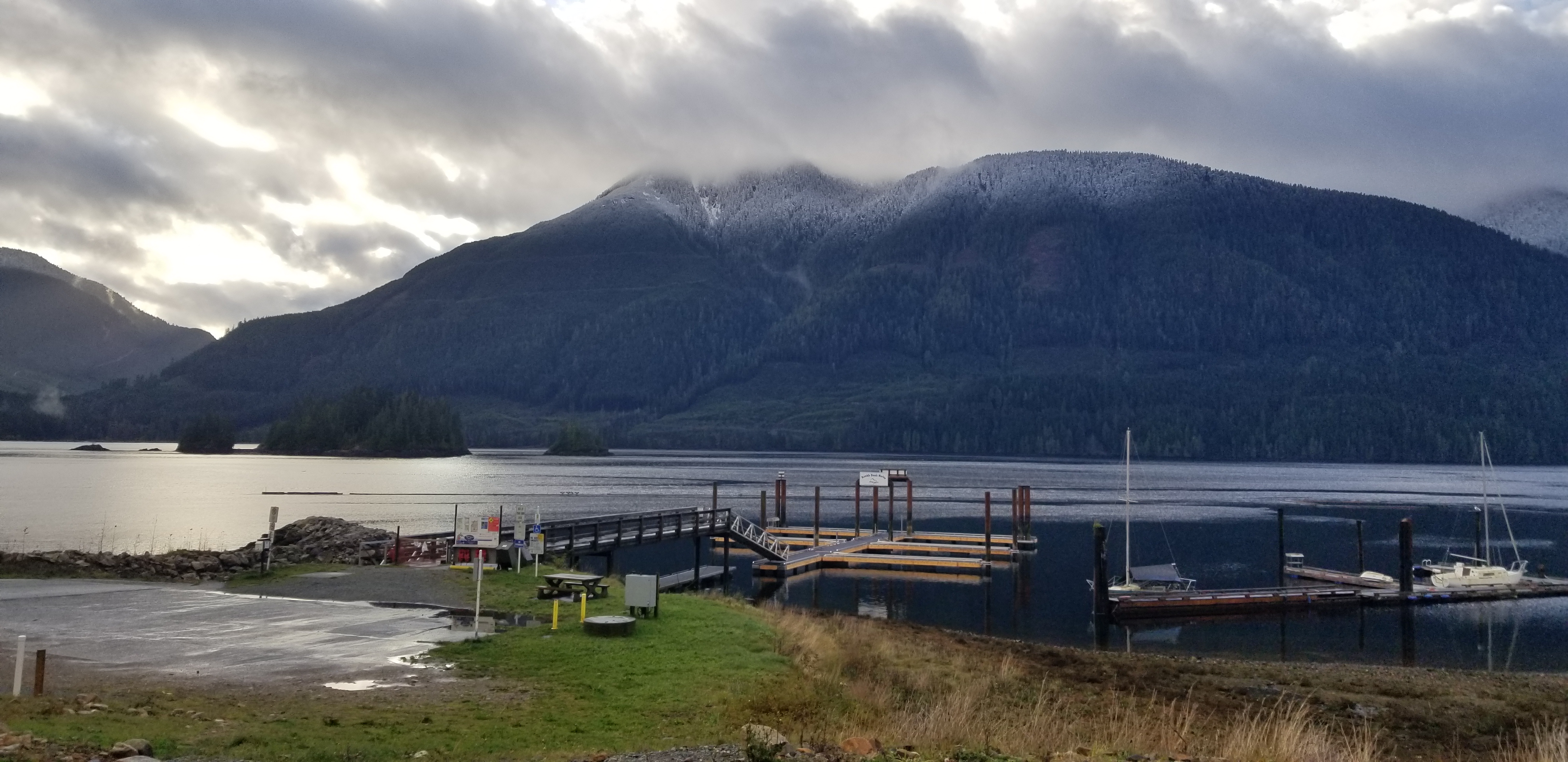
Port Alice
Port Alice receives 3.4 meters of rain per year. Not rainfall equivalent -- actual rain, almost no snow. That makes it wetter than Prince Rupert, a city whose reputation for rain is practically a Canadian punchline, and nearly as wet as Ketchikan and Yakutat in Southeast Alaska. The difference is that those Alaskan towns get meters of snow on top of their rain. Port Alice just gets rain -- relentless, vertical, year-round rain that has shaped everything about this village of 739 people clinging to the shores of Neroutsos Inlet on northern Vancouver Island. It has shaped the economy, the landscape, and most dramatically, the ground itself.
Alice Whalen's Town
The village owes its existence and its name to the Whalen family. The brothers Whalen, who operated pulp and paper mills along British Columbia's coast, chose this site on Neroutsos Inlet for their next operation, and named it after their mother, Alice. Construction began in 1917; by 1918, the mill was producing pulp. Before the Whalens arrived, the area had been home to the Hoyalas prior to 1750, and later to the Koskimo people in the late 1800s. The Whalens also operated a mill at Swanson Bay on the Inside Passage farther north, but Port Alice became the more enduring settlement -- though "enduring" is a generous word for a town that has had to move to survive. The mill and the community it supported were built in a landscape that would spend the next century trying to shake them loose.
A Town That Moved
Heavy rainfall and steep slopes are a dangerous combination, and Port Alice learned this early. Mud and rock slides struck in 1927 and again in 1935, burying parts of the original town site near the mill. These weren't gentle warnings. By 1965, the accumulated damage and ongoing risk forced a drastic decision: the entire town was relocated to a new site, away from the mill it existed to serve. But the new location offered no permanent reprieve. Landslides hit the new townsite in 1973, 1975, 1987, and 2010. The pattern is geological rather than accidental -- when 3.4 meters of rain falls annually on steep, forested slopes, the question is never whether the ground will move but when. Port Alice lives with this reality the way coastal towns live with storms: not as an emergency but as a recurring fact of life that shapes how and where people build.
Devil's Bath and the Vanishing River
The same geology that sends hillsides sliding into town has created something extraordinary in the forests near Port Alice. Devil's Bath is a flooded sinkhole -- technically a cenote, like those found in Mexico's Yucatan Peninsula -- and at 359 meters in diameter and 44 meters deep, it is the largest in Canada. The eerie, green-tinted water fills a collapsed limestone cavern, surrounded by dense forest that makes the hole invisible until you are standing at its edge. Devil's Bath is part of a larger karst landscape that includes formations called the Eternal Fountain, the Vanishing River, and the Reappearing River -- names that describe exactly what happens when water moves through ancient limestone. Rivers sink into the rock and emerge somewhere else entirely. The access roads are dirt, the signage minimal. These are not polished tourist attractions but raw geological features in a working forest, discovered by following logging roads into country where the bedrock is riddled with cavities like Swiss cheese.
Punching Above Its Weight
For a village of 739 people accessible only by a long drive through logging roads, Port Alice has produced an improbable roster of talent. Dale Walters won a bronze medal in boxing at the 1984 Los Angeles Olympics. Daryl Sturdy competed in rowing at both the 1964 Tokyo Olympics and the 1968 Mexico City Olympics, winning gold at the 1963 Pan American Games along the way. Vancouver Island author Jack Hodgins found something familiar enough in the town to model his fictional Port Annie on it, the setting for his novel The Resurrection of Joseph Bourne. Even the botanical world has taken notice: a slipper orchid hybrid created by crossing Paphiopedilum 'Western Sky' with Paphiopedilum appletonianum has been officially registered under the name 'Port Alice' in the Royal Horticultural Society's records in London. A tiny, rain-drenched mill town on the far edge of an island -- and it has an Olympic boxer, an Olympic rower, a novel, and a registered orchid to its name.
From the Air
Located at 50.43°N, 127.49°W on Neroutsos Inlet, northern Vancouver Island. The village is visible as a small clearing along the inlet's shore, with the pulp mill site nearby. Devil's Bath sinkhole (359 m diameter) is located in the forest southeast of town but is not easily visible from altitude due to tree cover. Nearest major airport: Port Hardy (CYZT) approximately 35 km northeast. The area is extremely wet (3.4 m annual rainfall) with frequent low cloud. Best viewed from 2,000-4,000 feet on a clear day, approaching along Neroutsos Inlet from Quatsino Sound to the northwest.