Port of Kobe
In 1977, more shipping containers passed through Kobe than through any other port on the planet. Cranes swung day and night along berths backed by the steep wall of Mount Rokko, loading goods bound for Rotterdam, Seattle, Shanghai. The port had held this title since 1973, an achievement built on geography -- Kobe sits at the crossroads of Japan's Inland Sea and Pacific shipping lanes -- and on sheer engineering ambition: entire artificial islands carved from mountaintops to expand a harbor hemmed in by mountains. Then, at 5:46 a.m. on January 17, 1995, the ground shook for twenty seconds, and the port that had taken eight centuries to build was reduced to buckled wharves and toppled container cranes. Kobe rebuilt. But the ships that diverted to Busan and Kaohsiung during the reconstruction never fully returned.
Eight Centuries on the Waterfront
The harbor's history reaches back to the twelfth century, when the warlord Taira no Kiyomori renovated the existing port and briefly moved Japan's capital to Fukuhara, the settlement beside it. Throughout the medieval era, the port thrived under various names. The modern chapter began in 1858, when the Treaty of Amity and Commerce between the United States and Japan designated Hyogo as one of several ports opened to foreign trade. The opening did not come peacefully. In 1865, nine warships from Britain, France, the Netherlands, and the United States sailed into the harbor to demand that the shogunate honor its treaty obligations. Three years later, in 1868, a new port was constructed east of the old Hyogo harbor and given the name Kobe. Foreign merchants and diplomats settled in the hillside district of Kitano, and the city grew rapidly around the commerce flowing through its docks.
Mountains into Islands
Kobe's geography is both its blessing and its constraint. The city stretches in a narrow band between the sea and the Rokko mountain range, leaving precious little flat ground for expansion. The solution was radical: carve rock from the mountains and dump it into the bay to create new land. Port Island, completed in 1987, was among the largest artificial islands in the world at the time. Rokko Island followed in 1992 after nearly two decades of construction that employed a ten-mile underground conveyor belt to shuttle excavated earth to waiting barges. A third artificial island now holds Kobe Airport itself. The result, visible from altitude, is a harbor ringed by geometric landmasses that look less like natural coastline than a circuit board pressed into the sea. At its peak in the 1970s, 34 container berths operated across these islands and the mainland waterfront, handling more tonnage than any competing port.
Twenty Seconds That Changed Everything
The Great Hanshin earthquake struck at magnitude 7.3, its epicenter just 20 kilometers southwest of central Kobe. The port took a devastating blow: over 95 percent of the waterfront infrastructure was severely damaged or rendered non-operational. Container cranes collapsed onto wharves. Quay walls slid into the harbor. The damage across the city totaled approximately ten trillion yen -- roughly 102.5 billion dollars, or 2.5 percent of Japan's entire GDP. Most of the losses were uninsured. Only 3 percent of property in the Kobe area carried earthquake insurance, compared to 16 percent in Tokyo. Remarkably, by March 1997, the port was declared fully restored. But the interruption had lasting consequences. Shipping lines that rerouted to other Asian ports during the two years of reconstruction found no compelling reason to come back. Before the earthquake, Kobe ranked among the top five container ports worldwide. Today it stands as Japan's fourth-busiest, a respectable position but a shadow of the global dominance it once held.
The Harbor Reinvented
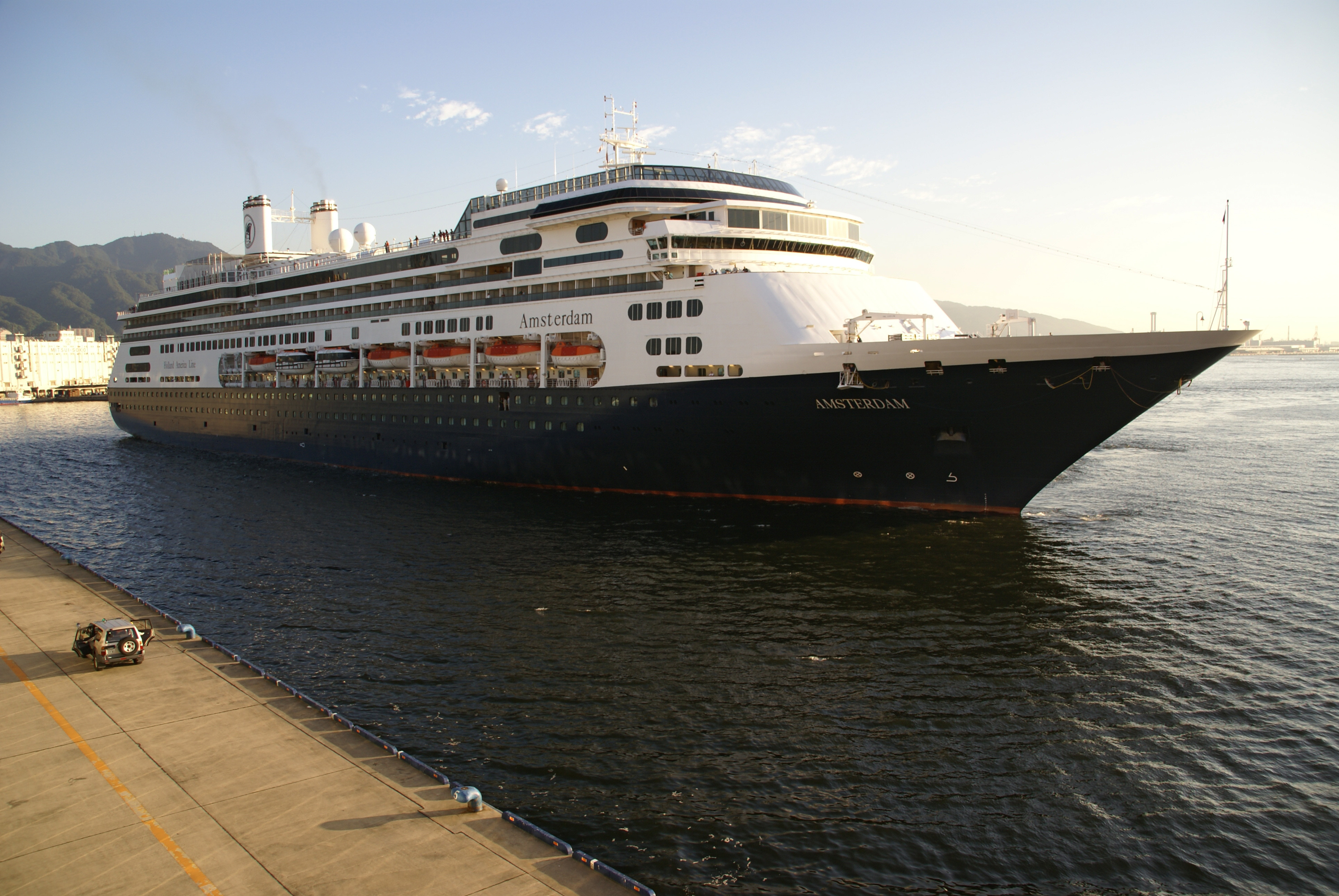
Modern Kobe has reimagined its waterfront as more than a cargo terminal. Meriken Park occupies the old wharf district with green lawns, promenades, and the iconic Kobe Port Tower, a 108-meter red lattice structure designed in the shape of a tsuzumi drum that has defined the city's skyline since 1963. Harborland, a shopping and entertainment complex, fills the blocks behind the docks. Ferries still run regular passenger routes to Busan, Shanghai, and Tianjin, and cruise ships from Holland America and Princess Cruises call at the port. The city maintains sister-port agreements with Rotterdam (since 1967), Seattle (since 1967), Tianjin (since 1980), and Vancouver (since 1991). Near the old waterfront, a small earthquake memorial park preserves a section of collapsed wharf exactly as it looked after the 1995 disaster -- cracked asphalt, tilted lampposts, and buckled retaining walls left deliberately unrepaired as a reminder of the twenty seconds that redrew Kobe's place in the world.
From the Air
Located at 34.68N, 135.23E along the north shore of Osaka Bay. The port area is immediately identifiable from altitude by the rectangular artificial islands of Port Island and Rokko Island projecting into the bay south of the Kobe coastline. Kobe Airport (RJBE) occupies its own artificial island between Port Island and Rokko Island, approximately 8 km south of Sannomiya central district. Kansai International Airport (RJBB) lies roughly 43 km southwest across the bay on another artificial island. Osaka Itami Airport (RJOO) is approximately 25 km northeast. The red Kobe Port Tower in Meriken Park is a useful visual landmark on the mainland waterfront. Mount Rokko rises steeply behind the city to the north. The Harbor Highway toll road connecting Sannomiya, Port Island, and Rokko Island is visible as an elevated roadway over the water.