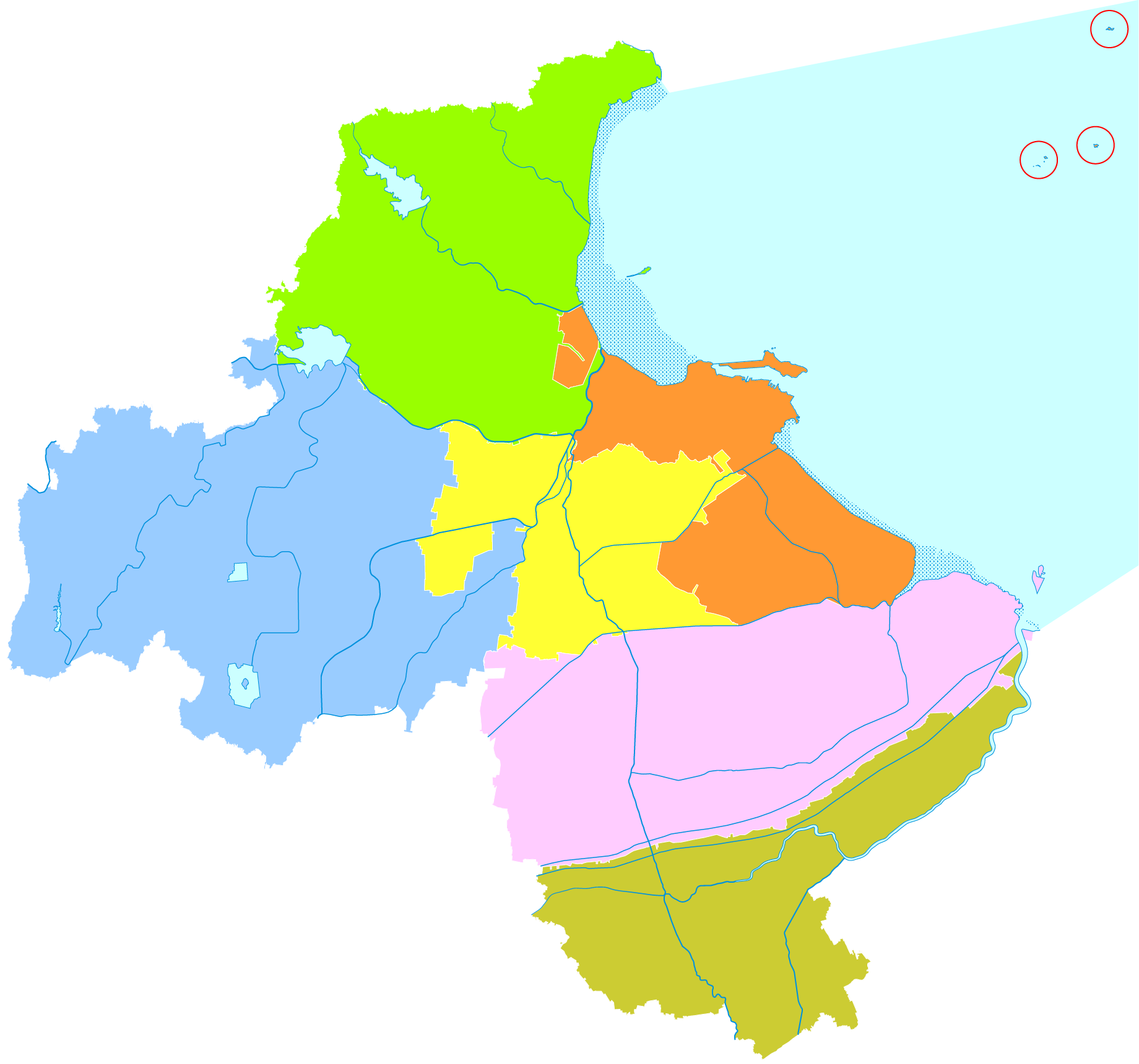
Port of Lianyungang
When Kazakhstan needs to ship grain to Southeast Asia, or Uzbekistan wants to move cotton to Korea, the cargo follows a rail line east across China and arrives at the Port of Lianyungang. Sitting on Jiangsu Province's Yellow Sea coast within a 500-nautical-mile radius of major ports in South Korea and Japan, Lianyungang has become something the landlocked nations of Central Asia never had before: an ocean doorway. The port's designation as a logistics cooperation base for the Shanghai Cooperation Organization and a key node in China's Belt and Road Initiative has given this centuries-old harbor a new role in 21st-century geopolitics.
From Dapu to Deep Water
The port traces its origins to 1905, when Dapu Port first opened on this stretch of coast. Official construction of the modern port began in July 1933, but liberation in 1948 left the facilities in disrepair. By 1959, rebuilding had produced just seven berths capable of handling ships under 5,000 deadweight tons. The transformation began with a directive from Premier Zhou Enlai on February 27, 1973, ordering the port modernized within three years. A national leadership group oversaw the expansion, and major reconstruction projects followed through the 1980s. The pace has only accelerated since: in August 2022, Jiangsu's first 300,000-DWT deep-water channel opened here, with a depth of over 20 meters, capable of receiving the largest bulk carriers afloat.
One Port, Four Zones
Today the Port of Lianyungang operates as "one port with four zones" -- Lianyun, Ganyu, Xuwei, and Guanyun River -- accommodating 79 large sea berths and 35 inland berths. The Xuwei Port Area, which received formal master plan approval in 2017, has become the focus of the port's industrial ambitions, with a crude oil terminal completed in November 2024. In July 2024, COSCO Shipping launched a Northwest America route from the port, and in September, the first national open-top container grain train was loaded here. Each new route and terminal expands the web of connections radiating from this Yellow Sea harbor to markets across the Pacific and Indian Oceans.
The Belt and Road's Eastern Anchor
Lianyungang's strategic significance extends well beyond its tonnage figures. The port sits at the eastern terminus of a continental rail corridor that stretches across China and into Central Asia, making it a critical link in China's Belt and Road Initiative. For the member states of the Shanghai Cooperation Organization -- many of them landlocked -- Lianyungang provides something geography denied them: direct ocean access. The Kazakhstan logistics cooperation base at the port handles cargo from across the steppe, converting rail freight to sea freight at the water's edge. In March 2021, national authorities formally designated Lianyungang as an international hub seaport, recognizing a role the port had been growing into for years.
A Harbor Still Expanding
The port shows no signs of reaching its limits. In November 2024, expansion and reconstruction of the 300,000-ton channel officially began, and in April 2025, a new shipping route to Indonesia was inaugurated, connecting Lianyungang to Balikpapan and Jakarta. The Ministry of Transport approved the reconstruction of berths in the Miaoling area in March 2025, ensuring that the port's deep-water shoreline continues to grow. From Zhou Enlai's 1973 directive to the present day, the story of Lianyungang is one of persistent expansion -- a port that keeps outgrowing itself because the demand for connection between China's interior and the world's oceans keeps growing faster than concrete can be poured.
From the Air
Located at 34.74°N, 119.42°E on the Yellow Sea coast of Jiangsu Province. The port complex is visible from altitude as extensive dock and terminal infrastructure along the coast near Lian Island. Nearest airport: Lianyungang Huaguoshan International Airport (ZSLG/LYG), approximately 15 km inland. At 5,000-10,000 feet AGL, the full extent of the port's four zones is visible, with shipping channels extending into the Yellow Sea. Container vessels and bulk carriers are often visible in the approaches.