Port of Richmond (California)
The Port of Richmond sits on the eastern shore of San Francisco Bay, a working industrial port that has been shipping goods in and out of the Bay Area since the early twentieth century. During World War II, the port and the adjacent Kaiser Shipyards transformed Richmond from a small city into one of the most important industrial centers on the Pacific Coast.
Industrial Waterfront
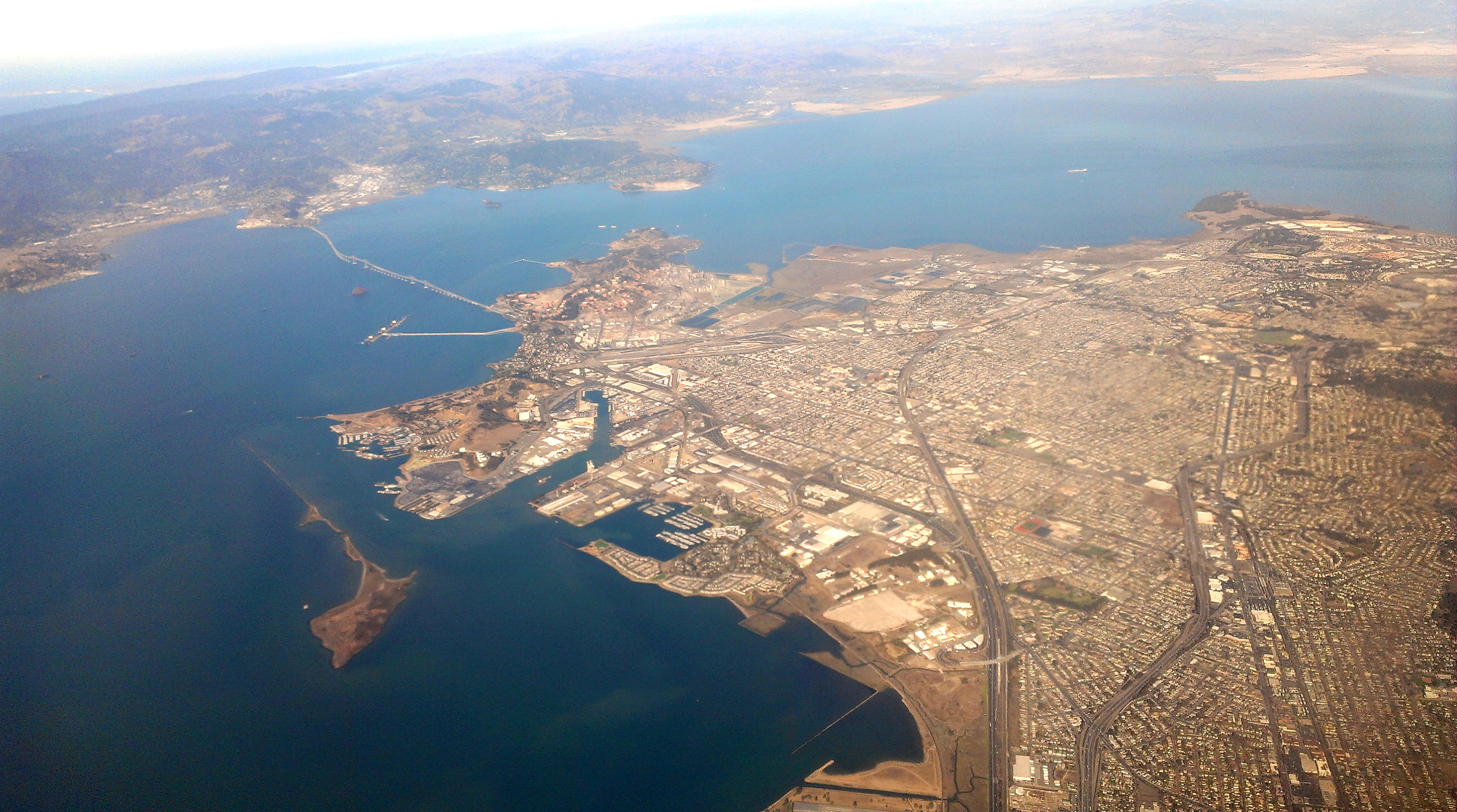
The Port of Richmond occupies the shoreline of the East Bay city, handling cargo that includes automobiles, petroleum products, and break-bulk freight. The port facilities include deep-water berths, rail connections, and the infrastructure required for modern commercial shipping. Unlike the container-focused ports of Oakland and Long Beach, Richmond handles a diverse mix of cargo types, reflecting the flexibility that has kept the port operational through decades of changing trade patterns.
The War Years
World War II transformed the Port of Richmond and the city around it. Henry Kaiser's shipyards, located adjacent to the port, built 747 ships between 1941 and 1945 -- more than any other shipyard complex in the country. The port itself served as a staging area for military supplies heading to the Pacific theater. The wartime boom drew over 100,000 workers to Richmond, including large numbers of African Americans from the Southern states, fundamentally changing the city's demographics and creating communities that persist today.
Working Port, Working City
The Port of Richmond continues to operate as a commercial shipping facility, though at a smaller scale than the massive wartime operations. The port's future depends on the same forces that shape all Bay Area waterfront property: the tension between industrial use and the pressure to convert waterfront land to residential and recreational purposes. For now, the cranes still move cargo, the ships still dock, and the port continues the work that has defined this stretch of shoreline since before the bridges connected the bay's communities by road.
From the Air
Located at 37.915N, 122.361W in the San Francisco Bay Area. Nearby airports: KSFO (San Francisco International), KOAK (Oakland International).