Port of Sakata
In Edo-period Japan, the merchants of Sakata liked to boast that their port rivaled Sakai -- the great trading hub near Osaka -- in revenue. It was not an idle claim. Sitting at the mouth of the Mogami River on the Sea of Japan coast, the Port of Sakata commanded a position on the kitamaebune coastal trade routes that connected Osaka to Hokkaido, and the wealth that flowed through its docks transformed a modest fishing settlement into one of northern Honshu's most prosperous cities. Rice and safflower moved south; goods and culture moved north. The port made fortunes, built dynasties, and shaped a city whose identity remains inseparable from the water at its edge.
The Kitamaebune Gateway
The Port of Sakata has existed since the Kamakura period, but it was the Edo-era kitamaebune trade that turned it into something extraordinary. These coastal cargo ships worked the long route from Osaka to Hokkaido, and Sakata was one of their most critical stops. The city's rice and safflower -- prized as a luxury dye in Kyoto -- flowed outward, while goods, fashions, and cultural influences flowed in. The trade spawned a thriving entertainment district in downtown Sakata, complete with high-class restaurants and a maiko teahouse called Somaro. Much of this commerce was controlled by the Homma clan, local merchants who leveraged port wealth and moneylending to become the largest landowners in all of Japan by the Meiji period.
Iron, Timber, and Modern Ambitions
When the Meiji era arrived, Sakata's port reinvented itself. Facilities were gradually expanded, and international shipping routes were established by Nippon Yusen in 1885. A lighthouse went up in 1895 to guide the new generation of steamships. The Japanese government designated it a "major port" on January 19, 1951, and by 1957, Sakata had become an official timber import port. The first timber ship from the Soviet Union called in 1958, adding a Cold War dimension to the harbor's history. A 10,000-ton quay was completed in 1962, and in 1966, construction began on Sakata North Port, which opened in 1974. A thermal power plant followed in 1977, providing electricity for a nearby aluminum mill operated by Sumitomo Light Metals -- though that facility closed in 1982 as Japan's industrial geography shifted.
Wind and Waves of Change
In 2004, the Port of Sakata added an unexpected chapter to its story: Japan's first offshore wind power plant began operation off the Sakata North Port. The same Sea of Japan winds that once filled the sails of kitamaebune cargo ships now spin turbines, connecting the port's maritime past to an energy future. The transformation continued when international cruise ships began calling at Sakata from 2017. The Neo Costa Romantica was among the first, followed by two visits from the Diamond Princess in 2018 and the MSC Splendida in September 2019. In April 2024, the Holland America Line vessel Westerdam docked at the port, bringing passengers who could walk the same waterfront where rice merchants once counted their fortunes.
A River Port's Enduring Pull
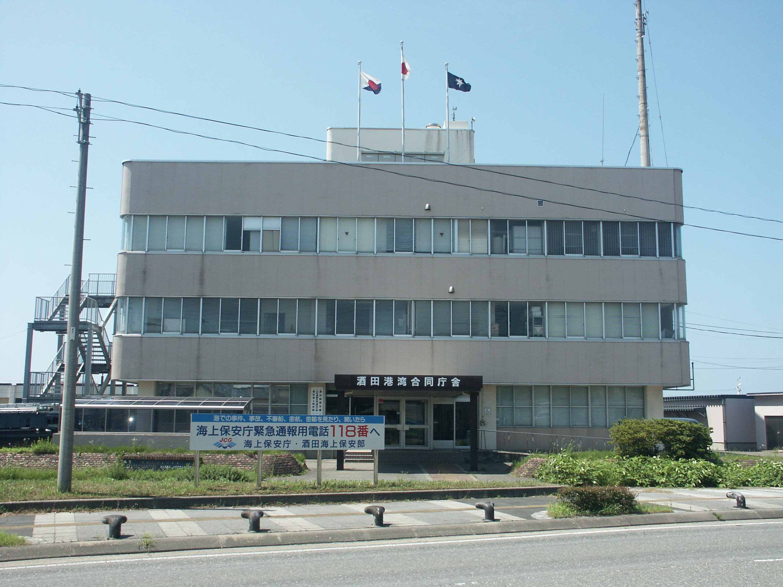
The Port of Sakata sits in the industrial sector of the city, about ten to twenty minutes by car from the city center. There is no public transit to the docks, and the industrial surroundings lack the charm of Sakata's historic core. But the port's reach extends far beyond its wharves. The Mogami River, which empties into the sea here, was once the lifeline of interior Yamagata Prefecture, carrying rice and goods downstream to the coast. The warehouses built to store that rice still stand nearby. The entertainment district born from port wealth still operates. And the families enriched by centuries of maritime trade left behind museums, gardens, and cultural institutions that define Sakata to this day. The port may sit at the city's industrial edge, but it remains the engine of everything around it.
From the Air
Located at 38.931N, 139.819E at the mouth of the Mogami River on the Sea of Japan coast. The port area is clearly visible from the air, with the North Port industrial facilities and offshore wind turbines providing distinctive landmarks. The Mogami River mouth creates a recognizable geographic feature. Best viewed at 3,000-5,000 feet AGL to see the full port complex and its relationship to Sakata city center. Shonai Airport (RJSY) is approximately 15 km to the south. The Sankyo Warehouses, a row of dark-roofed historic rice storehouses, are visible near the waterfront south of the port.