Tanjung Perak: Gateway to the Eastern Archipelago
In the years before 1910, getting cargo to Surabaya meant anchoring in the Madura Strait and transferring everything -- every crate, every bale, every ton of sugar or spice -- onto barges and boats for the slow trip up the Kalimas River to Jembatan Merah, the Red Bridge, where the city's first port hugged the riverbank. It was a bottleneck worthy of the name. Trade was growing faster than the river could carry it. An engineer named W. de Jonght proposed a proper deepwater port as early as 1875, but the colonial treasury said no. It took another three decades, a new proposal from Ir. W.B. Van Goor, and the pragmatic urgency of a booming colonial economy before dredging finally began in January 1912. Tanjung Perak -- Silver Cape -- would take years to build and a century to become what it is now: Indonesia's second-busiest seaport, the hub that connects the eastern half of the archipelago to the world.
From River Port to Deep Water
The construction that started in 1910 remade Surabaya's relationship with the sea. Alongside the port, the Droogdok Maatschappij Soerabaja (DMS) was established, operating a 3,500-ton dry dock from 1917 and eventually building ships as well as repairing them. As Tanjung Perak grew, the old ports along the Kalimas -- Jembatan Merah and the Kalimas wharves -- fell quiet, their shallow waters no longer adequate for the vessels that modern trade demanded. The transition was gradual but irreversible. By the time an inter-island terminal and passenger ferry terminal were added in 1983, Tanjung Perak had absorbed all the port functions that had once been scattered along the river. The Petikemas International Container Terminal, completed in 1992, locked in the port's role as a container hub for eastern Indonesia.
Dredging Deeper, Reaching Further
A port's depth determines its future. Shallow harbors handle coastal traffic; deep ones connect to the world. Tanjung Perak's managers understood this, and the dredging has never really stopped. The original channel through the Madura Strait -- 25 miles long, 100 meters wide, 9.5 meters deep -- could handle the modest vessels of the colonial era. By 2015, the port had been dredged to 14 meters to accommodate fifth-generation container ships carrying up to 10,000 TEUs. A year later, another round of dredging took the channel to 16 meters wide and 200 meters across, deep enough for seventh-generation ships hauling 15,000 containers. The numbers tell the story of ambition: 3.55 million TEUs loaded and unloaded in 2017, 3.8 million in 2018. Lloyd's List ranked Tanjung Perak 43rd among the world's container ports in 2019.
War and Reconstruction
The port's history is not all commerce and construction. On May 17, 1944, Allied carrier aircraft struck Surabaya in Operation Transom, targeting the port and its Japanese-held facilities. The attack devastated Tanjung Perak, wrecking docks and infrastructure that had taken decades to build. Reconstruction after the war coincided with Indonesian independence and the fierce fighting of 1945's Battle of Surabaya, which raged through the city's streets and port districts. The port that emerged from these upheavals was no longer a colonial asset managed from Amsterdam. It was Indonesian, nationalized, and central to a new country's plans for economic development across its eastern islands.
The Green Port Next Door
In May 2014, an extension called Teluk Lamong began trial operations just west of Tanjung Perak, billing itself as Indonesia's first green sea port. The terminal deployed automated stacking cranes, ship-to-shore cranes, and automotive terminal tractors designed to reduce both emissions and paper use. International shipping was the primary target -- seven vessels per week -- with surplus capacity directed to domestic routes. A dry bulk terminal followed in 2015, occupying 26 hectares with conveyor-fed warehousing and capacity for 20 million metric tons. Teluk Lamong represents the next generation of Indonesian port infrastructure: automated, environmentally conscious, and built to handle the scale of trade that Tanjung Perak's founders could not have imagined when they first drove pilings into the Java Sea mud.
Gapura Surya Nusantara
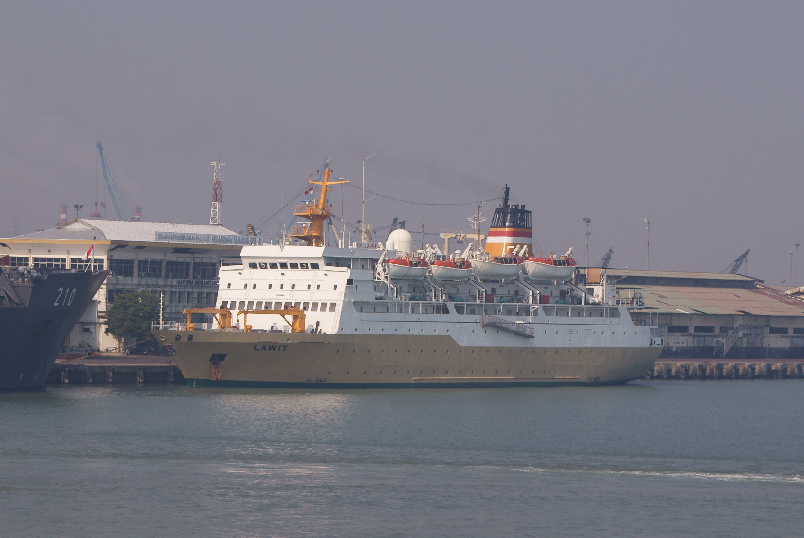
Cargo moves through Tanjung Perak in containers, but people move through the Gapura Surya Nusantara, the port's passenger terminal opened in 2014. Designed with the amenities of an airport -- passenger bridges, ticket counters, a food court, air-conditioned waiting lounges -- the three-story terminal covers 16,120 square meters and handles up to 4,000 passengers. It was built with green architecture principles: a sewage treatment plant recycles waste water for non-potable use, and energy-saving technology runs throughout. Regular ferry service connects Surabaya to ports across the archipelago, and the terminal doubles as a berth for international cruise ships. The facility saw a 300 percent growth in travelers after opening, proof that investing in passenger comfort can transform a working port into a genuine gateway.
From the Air
Located at 7.20°S, 112.73°E on Surabaya's northern coast, accessed through the Madura Strait. The port complex is massive and clearly visible from altitude -- container yards, gantry cranes, and the distinctive passenger terminal of Gapura Surya Nusantara line the waterfront. The Jalesveva Jayamahe Monument (60-meter naval statue) stands nearby to the east, and PT PAL shipyard is adjacent. Madura Island is visible across the strait to the north, connected by the Suramadu Bridge to the northeast. Nearest major airport is Juanda International Airport (WARR), approximately 18 km south.