Potosi
At nearly 4,000 meters above sea level, every breath in Potosi comes a little short. Visitors arriving from lower altitudes feel the altitude immediately: a tightness in the chest, a quickened pulse, a reminder that this city exists at the edge of what the human body considers comfortable. Potosi was founded in 1546, one year after Diego de Huallpa discovered silver in the Cerro Rico, and within decades it had grown into one of the largest and wealthiest cities in the Americas. The mines may have produced 60,000 tons of silver over the centuries. The legend goes that mules were shoed with silver because iron was harder to obtain. Whether or not that is true, the wealth was real enough to fill the city with baroque churches that now carry UNESCO World Heritage designation.
Churches Built on Silver
The colonial-era churches of Potosi are monuments to the scale of wealth that flowed through this city. Built in the ornate baroque style favored by Spanish colonists, they stand along narrow streets lined with colonial mansions, their facades carved with a level of detail that seems improbable at this altitude. UNESCO recognized the historic center as a World Heritage Site, citing the architectural legacy of what was once one of the most important industrial complexes in the world. Walking the old city, you encounter grand doorways, stone courtyards, and church interiors gilded with the silver and gold that the mountain above provided. The contrast between these opulent spaces and the mines that funded them is the central tension of Potosi: extraordinary beauty paid for with extraordinary suffering.
The Mountain's Shadow
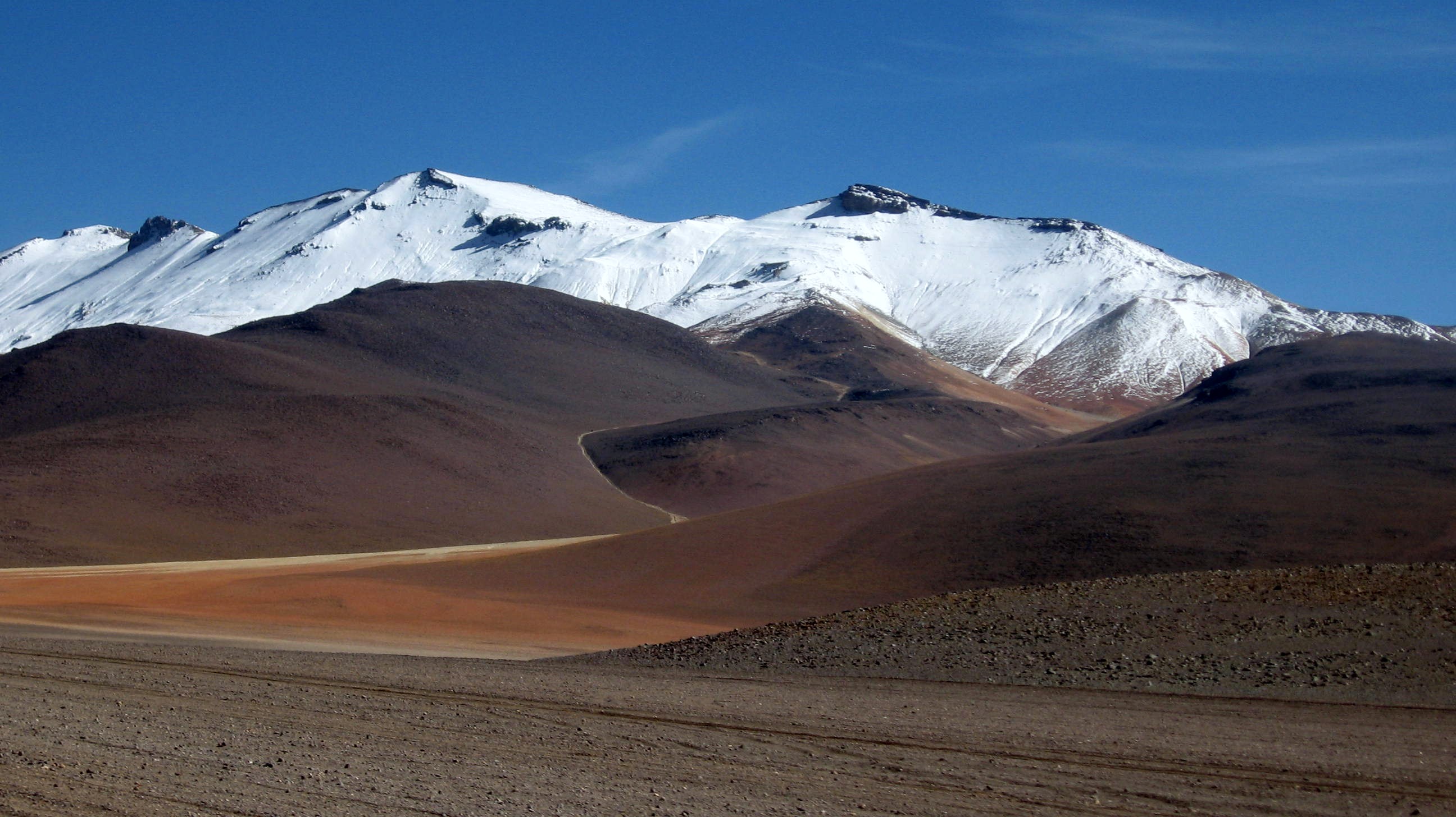
Cerro Rico, the rich hill, dominates the skyline. Visible from most parts of the city, it rises in shades of red and tan above the rooftops, an omnipresent reminder of Potosi's reason for existence. The mines of Cerro Rico are considered among the richest in world history, and the name Potosi became so synonymous with wealth that San Luis Potosi in Mexico was named in hope of matching its fortune. But the mountain's history is inseparable from the forced labor systems, the mita and repartimiento, that the Spanish imposed on indigenous communities. Hundreds of thousands of indigenous laborers and enslaved African workers died in the mines over three centuries of colonial rule, often spending weeks underground at a time. The mountain still employs thousands of miners today, though the silver is largely gone, replaced first by tin and now by rare earth minerals.
Life at the Roof of the World
Potosi sits high enough that the air holds noticeably less oxygen than at sea level. Newcomers are advised to take it slowly, drink plenty of coca tea, and avoid exertion for the first day or two. The city's Mercado Central offers the cheapest meals in town, and the food reflects highland Bolivia: hearty soups, potatoes in every form, and llama meat. Street dogs roam in packs and can be aggressive, particularly at night, so locals advise against walking alone after dark outside the main plaza. Despite these hazards, Potosi rewards the visitor who adjusts. The light at this altitude is extraordinary, sharp and clear, making the colonial architecture glow in the late afternoon. From the rooftop of Hotel Jerusalem, the view stretches across the city to Cerro Rico and the high plateau beyond.
Gateway to the Altiplano
Potosi connects to Bolivia's major destinations by bus. Sucre, the constitutional capital, lies three and a half hours away, a city of dinosaur footprints and university nightlife. Uyuni, the gateway to the Salar de Uyuni salt flat, takes five to seven hours by bus. La Paz, the administrative capital, requires a nine-hour overnight journey. Collective taxis offer faster connections to Sucre and Oruro, departing when full, a lifeline during the bus strikes that periodically shut down Bolivian transport. There is no commercial airport in Potosi; the closest air connection is through Sucre. Arriving by road, whether from the lush valleys of Tarija to the south or the windswept altiplano to the west, the approach to Potosi always ends the same way: with Cerro Rico appearing on the horizon, its distinctive silhouette announcing a city that owes everything, beauty and tragedy alike, to a single mountain.
From the Air
Located at 19.59S, 65.75W at approximately 4,000 meters elevation in southern Bolivia. Nearest airport is Capitan Nicolas Rojas Airport (SLPO) at Potosi, with limited service. Sucre's Alcantari Airport (SLSU) is the nearest with regular commercial flights, about 150 km northeast. The city is identifiable from the air by Cerro Rico's distinctive conical profile rising above the urban area. Extreme high-altitude terrain requires careful performance calculations. Mountain wave turbulence possible.