Poverty Point
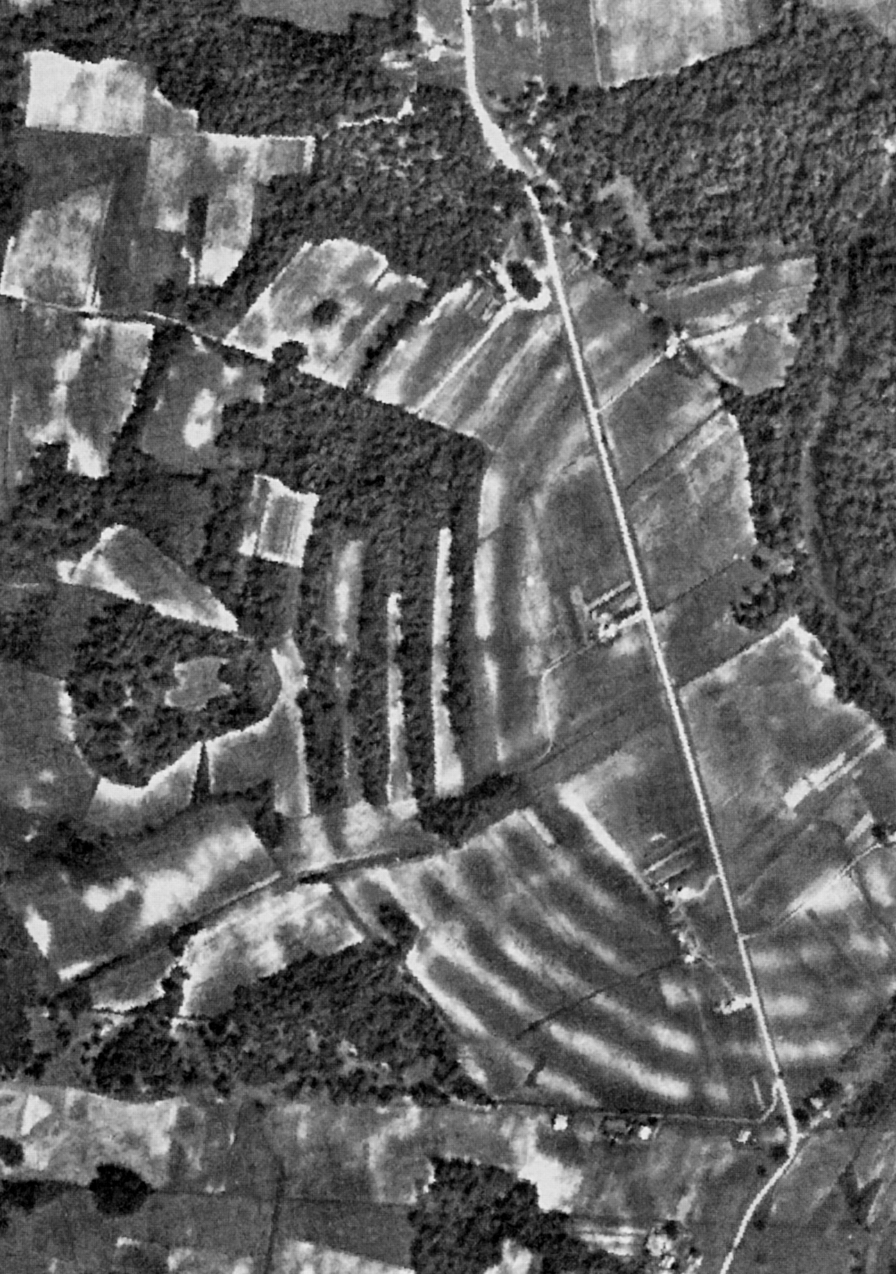
The ridges are so vast that no one standing on the ground could see what they had built. It took aerial photography in the twentieth century to reveal the geometric pattern: six concentric C-shaped ridges, the outermost stretching three-quarters of a mile across, surrounding a 37.5-acre plaza, with massive earthen mounds positioned around the complex like anchors. Poverty Point, in the flat farmland of northeastern Louisiana near the village of Epps, is the largest and most complex Late Archaic earthwork ever found in North America. It was constructed between roughly 1700 and 1100 BCE, basket load by basket load, by people who were not farmers. They were hunter-fisher-gatherers, and they built something that stands alongside Stonehenge and the Great Pyramid of Giza in the global catalog of monumental ancient construction.
Ridges Written in Earth
The main monument consists of six nested C-shaped ridges, each separated by a swale, divided by four aisles into sectors, and connected in the southern half by linear causeways. The ridges once stood higher but have been worn down by roughly 150 years of agricultural plowing; today they range from a few inches to six feet above the adjacent swales. The crest of each ridge spans 50 to 80 feet in width, with 65 to 100 feet between them. Radiocarbon dating places most ridge construction between 1600 and 1300 BCE. Inside the innermost ridge lies the great plaza, a seemingly natural flat area that was in fact extensively modified. Archaeologists found filled gullies and areas where the builders added soil to raise the ground surface by more than three feet. In the 1970s, excavations revealed evidence of huge wooden posts in the western plaza. Later geophysical surveys identified circular rings of post pits, some over 200 feet in diameter, indicating timber circles erected while the earthworks were still under construction.
The Bird Mound and Its Companions
Mound A dominates the site. Standing 72 feet tall and covering a base roughly 705 by 660 feet, it is the most imposing earthwork at Poverty Point. Viewed from above, it appears T-shaped, though some archaeologists interpret its form as a bird or an "Earth island" representing the cosmological center of the complex. Mound B, located north and west of the ridges, dates to sometime after 1700 BCE and was the first earthwork built here. Woven basket impressions were preserved in its fill, a direct trace of the people who carried the dirt. A sixth mound, Mound F, was not even discovered until 2013. Radiocarbon dating of charred wood from its base indicates it was built after approximately 1280 BCE, making it the last Archaic-period mound added to the complex. The nearby Lower Jackson Mound, 1.8 miles to the south, predates the main earthworks by some 1,500 years, suggesting that this stretch of Macon Ridge had drawn monument builders long before the Poverty Point culture arrived.
Builders Without Fields
What makes Poverty Point extraordinary in the global context of monumental construction is who built it. The Poverty Point people were hunter-fisher-gatherers, not agriculturalists. Nearly every other prehistoric monument of comparable scale, from Stonehenge to the pyramids, was raised by societies that grew crops, stored surplus, and supported dense, stratified populations. The people at Poverty Point hunted deer and small mammals, fished the bayous, gathered nuts, berries, and aquatic roots, and traded with distant peoples for steatite from the Appalachian foothills and copper from the southern Appalachian Mountains. They made fired clay cooking objects, small amounts of pottery, and stone tools crafted on-site. Analysis of debris across the ridges shows the complex was zoned: the north sector favored tool manufacturing, the south used finished tools, and the west sector concentrated beads, pendants, and lapidary work. Archaeologist Jon Gibson estimated that one hundred people working six or seven days a month could have produced the entire earthwork in a century, across three generations.
Rediscovered from the Sky
In the 1830s, explorer Jacob Walter stumbled upon the site while searching for lead ore and recorded it in his diary. Philip Guier of Kentucky purchased the property as a farm in 1843 and named it Poverty Point Plantation, a name borrowed from a place near his old home. The earthworks were first published about in 1873 by Samuel Lockett, a former Confederate officer. Clarence B. Moore investigated in 1913, the Smithsonian's Gerard Fowke followed in 1926, and excavations by James A. Ford and Clarence Webb in the 1950s produced the landmark publication that put the site on the archaeological map. But it was only when researchers examined aerial photographs that the full geometric grandeur of the ridges became visible. The site was designated a National Historic Landmark in 1962, opened to the public as a state park in 1976, and declared a U.S. National Monument in 1988. On June 22, 2014, the UNESCO World Heritage Committee inscribed Poverty Point as a World Heritage Site, the first in Louisiana and the 22nd in the United States.
From the Air
Located at 32.64N, 91.41W in West Carroll Parish, northeastern Louisiana, on the edge of Macon Ridge near the village of Epps. The concentric C-shaped ridges and Mound A are clearly recognizable from the air, making this an outstanding aerial landmark. Nearest airports are Vicksburg-Tallulah Regional Airport (KTVR) approximately 30 nm southeast and Monroe Regional Airport (KMLU) approximately 45 nm west. Best viewed at 1,500-3,000 ft AGL. The Bayou Macon running nearby and the flat agricultural landscape of the Mississippi Delta provide strong visual context.