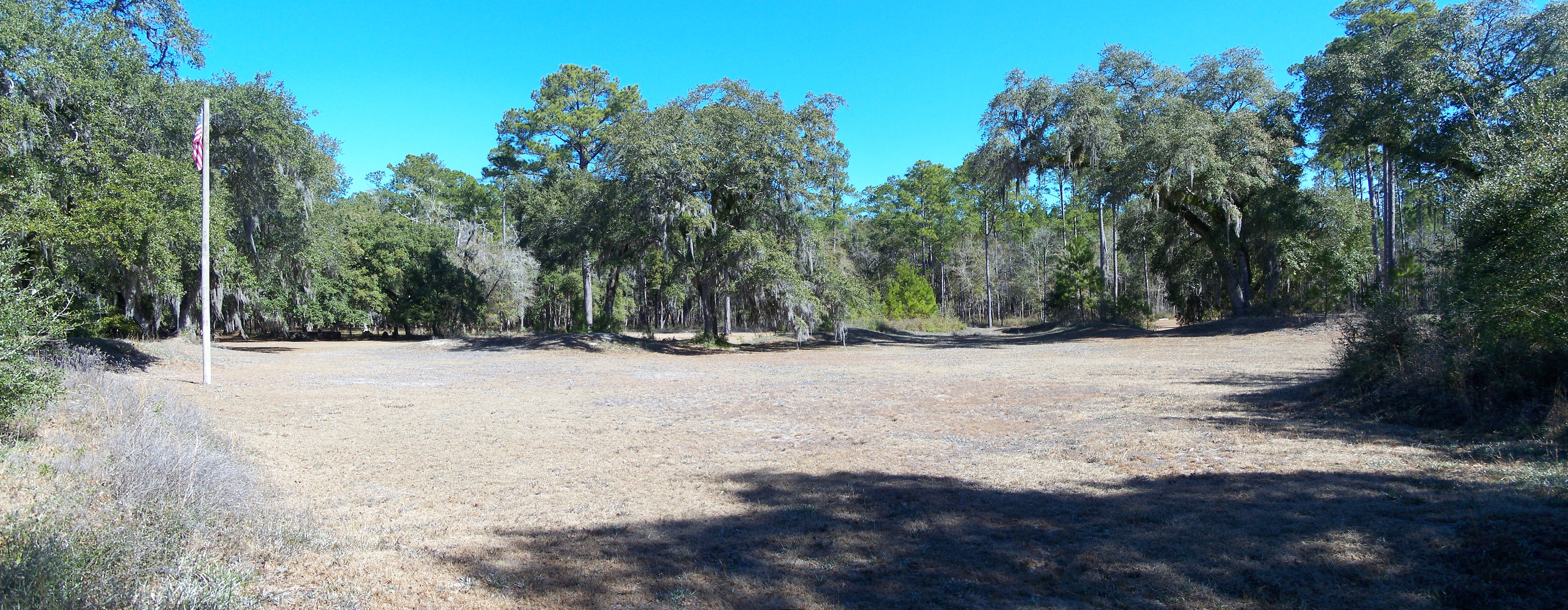
Prospect Bluff Historic Sites
The Apalachee people called this land Achackwheithle. The British called it Prospect Bluff. The U.S. Army called it Fort Gadsden. For two centuries, the name has changed with each flag raised over this remote bend in the Apalachicola River, but the bluff itself has never stopped being contested ground. Listed on the National Register of Historic Places and designated a National Historic Landmark in 1972, Prospect Bluff Historic Sites preserves the layered ruins of empires and rebellions on a wooded riverbank deep in the Apalachicola National Forest. To reach it today requires a drive down a narrow forest road, the same isolation that once made it the most strategically valuable piece of ground in the Florida borderlands.
Where Empires Collided
The Apalachicola River was a boundary line drawn by European powers who had never walked its banks. During the British Florida period from 1763 to 1783, it separated East Florida from West Florida. Under the second Spanish period from 1783 to 1821, it remained a frontier between colonial jurisdictions. For the British, the river was an undefended corridor into the American interior through Georgia. For the Spanish, it led nowhere they valued. Trading posts operated on the bluff from the 1780s: first Panton, Leslie and Company, then John Forbes and Company, both loyalist firms that dealt in deerskins with Native Americans and sheltered fugitive enslaved people. The adventurer William Augustus Bowles attacked and looted the trading post in 1792 and again in 1800. Control of Prospect Bluff meant control of the river, and control of the river meant the power to raid plantations upriver along the Chattahoochee and Flint, liberating enslaved people and striking at the economic heart of the slaveholding South.
The Fort That Terrified a Nation
In 1814, British Colonel Edward Nicolls built a massive fortification on the bluff. The magazine area sat about 500 feet from the riverbank, centered on an octagonal blockhouse surrounded by a star-shaped enclosure covering some 16 acres, with bastions on the eastern corners and a ravelin along the river 15 feet high and 18 feet thick. The armament was staggering: four 24-pound cannons, four 6-pound cannons, a field piece, a howitzer, 2,500 muskets, 500 carbines, and 500 swords, along with hundreds of barrels of powder. Nicolls recruited formerly enslaved Africans into the Corps of Colonial Marines, giving them military training, wages, and British uniforms. When the British withdrew in May 1815, they left every weapon behind. The fort became the center of the largest free Black community in North America before the Civil War, with between 300 and 1,000 maroons developing plantations extending up to 50 miles along the river. General Gaines estimated 900 Native American warriors and 450 armed Black inhabitants occupied the stronghold.
The Single Deadliest Cannon Shot
On July 27, 1816, American forces destroyed the fort with a heated cannonball that detonated the powder magazine. A commemorative plaque that once stood at the site described the scene: "It is hard to imagine the horrible scene that greeted the first Americans to stand here on the morning of July 27, 1816. The remains of 230 persons killed in the magazine explosion lay scattered about." Historians have called it the single deadliest cannon shot in American history and the largest battle between fugitive enslaved people and U.S. forces seeking to re-enslave them. The explosion was heard more than 100 miles away in Pensacola. Afterward, the trading post of John Forbes and Company was reestablished, and the cycle of commerce resumed as though the community that had thrived here had never existed.
Fort Gadsden and After
In 1818, Andrew Jackson directed Lieutenant James Gadsden of the Army Corps of Engineers to build a new fort within the earthworks of the destroyed stronghold. Fort Gadsden was much smaller than its predecessor and frankly temporary. An aide to Jackson reported that it was "a temporary work, hastily erected, and of perishable materials" that could not last more than five years. It was abandoned in 1821, the year Florida became a U.S. territory and the national border it guarded disappeared. In 1820, Colin Mitchell purchased the surrounding Forbes Lands and planned to build a city called Colinton at the site, complete with four squares and steamboat wharves, but his land claim was invalidated and Colinton was never built. During the Civil War, Confederate troops occupied the ruins to protect supply lines from Georgia and Alabama to the port of Apalachicola, until a malaria outbreak forced their abandonment in July 1863.
Reclaiming the Story
For most of the twentieth century, the site was interpreted almost exclusively as Fort Gadsden, marginalizing the story of the free Black community that had existed here. As one scholar noted, "The settlement of formerly enslaved people has been marginalized in and has largely receded from both the scholarly and popular imagination." The renaming from Fort Gadsden Historic Site to Prospect Bluff Historic Sites in 2016 marked a shift toward acknowledging the full history of this ground. On October 22, 2016, the U.S. Forest Service held a 200th anniversary commemoration with a Seminole Color Guard and descendants of the Prospect Bluff maroon community. Chairman James E. Billie of the Seminole Tribe of Florida delivered the keynote. A marker at the site also recalls Milly Francis, a Creek girl who persuaded her father, the Prophet Hillis Hadjo, to spare the life of an American soldier, only to later witness her father's hanging at Fort St. Marks in 1818. The bluff holds many stories, and they are finally being told together.
From the Air
Located at 29.93N, 85.02W on the east bank of the Apalachicola River, deep within the Apalachicola National Forest in Franklin County, Florida. The site is about 6 miles southwest of Sumatra, Florida. From altitude, look for the Apalachicola River winding through dense forest; the bluff is a slightly elevated area on the eastern bank. The rusting remains of the steamboat Irvington, which burned and sank in 1838, were dredged from the river 4 miles north. Nearest airport is Apalachicola Regional (KAAF), approximately 15nm south-southeast. Tyndall AFB (KPAM) is about 35nm west-northwest. The site is remote with no significant structures visible from high altitude. Best viewed at low altitude in clear VFR conditions.