Providence Island, Liberia
The island is barely eleven acres, a low sliver of land at the mouth of the Mesurado River where it meets the Atlantic. The Gola people called it Dozoa, meaning 'land in the center of water.' On January 7, 1822, eighty-eight formerly enslaved and freeborn Black Americans stepped off a ship and onto this ground, renaming it Perseverance. They had crossed an ocean to build something that did not yet exist: a country founded by people who had been someone else's property. That country would become Liberia, and this island would become Providence.
The Ducor Contract
The American Colonization Society had tried and failed several times to establish a settlement along the Pepper Coast before sending two agents, Robert F. Stockton and Eli Ayers, to negotiate with the chiefs who controlled the land around Cape Mesurado. The locals called the cape Ducor. Stockton and Ayers held a conference there, and the resulting agreement, known as the Ducor Contract, gave the Society the land bounded by the Atlantic to the north and west and the Mesurado River to the south and east, including the cape itself and Dozoa Island in the bay. Five chiefs from different peoples signed: Gola chiefs Kaanda Njola and Long Peter, Dei chief Kai-Peter, Kru chief Bah Gwogro, and a chief named Jimmy from the St. Paul River. The signatories represented a landscape of overlapping authorities and territories that the colonizers would spend decades navigating, sometimes peacefully and often not.
Eighty-Eight Arrivals
The first settlers landed on Dozoa Island and named their settlement Perseverance, a word that captured both their aspiration and their reality. They were a mix of freeborn Black people and formerly enslaved men and women from the United States, sent to West Africa under the auspices of the American Colonization Society, an organization whose motives ranged from genuine abolitionism to a desire to remove free Black people from American soil. The island they occupied was small, exposed, and surrounded by communities who had not invited them. From Perseverance, the settlers expanded to the mainland, establishing a town at Cape Mesurado that they initially called Christopolis. In 1824 it was renamed Monrovia, after US President James Monroe, a supporter of the colonization effort. Between 1822 and 1861, roughly twenty-five thousand Black Americans made the journey to Liberia, though only about twelve thousand survived it.
A Complicated Legacy
Liberia declared independence on July 26, 1847, with Joseph Jenkins Roberts, a freeborn Virginian of mostly European ancestry, as its first president. The new republic modeled its constitution, flag, and government on the United States, but citizenship excluded the indigenous peoples who had lived on the land long before the settlers arrived. The Americo-Liberians, as the settler descendants became known, dominated Liberian politics and society for over a century. Every president until 1980 was of American freed-slave ancestry. Providence Island sits at the origin point of that complicated story, a place where liberation for some came intertwined with displacement for others. The island's name itself marks the transition: from Dozoa, a Gola word, to Perseverance, an aspirational English one, to Providence, with all its implications of divine favor.
The Island Today
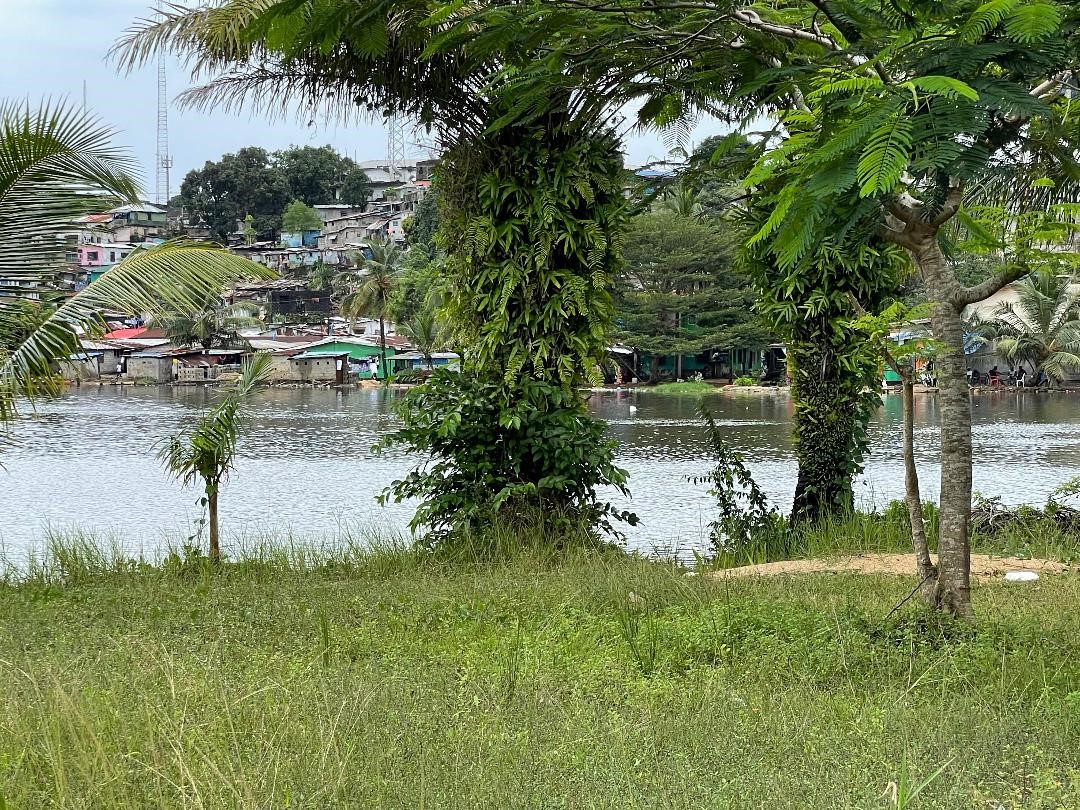
Providence Island now sits connected to greater Monrovia by bridges, its small footprint dwarfed by the city that grew from the settlement it hosted. An ancient well from the settler period survives, along with structures that replicate the original buildings. Monuments dot the island, including one that once bore a replica of the Mayflower and another symbolizing conflict resolution. In 2017, the Liberian Ministry of Information, Cultural Affairs and Tourism nominated Providence Island for inclusion on the UNESCO World Heritage list, recognizing it as the physical starting point of one of the most unusual national origin stories in the world. The nomination remains pending. For now, the island endures as it has for two centuries: small, central, and freighted with more meaning than its acreage can comfortably hold.
From the Air
Located at 6.320N, 10.802W at the mouth of the Mesurado River in central Monrovia. The island is visible from low altitude as a distinct landmass surrounded by water, connected to the mainland by bridges. The People's Bridge crosses from the south. Nearest airport is Spriggs Payne Airport (GLSP), about 2 km east along the coast. Roberts International Airport (GLRB) is 56 km southeast. Recommended viewing altitude: 1,500-2,500 feet for the island and river mouth. The Atlantic coastline and Mesurado River confluence provide strong visual references. Tropical climate.