Pulaski Skyway
Drive the Pulaski Skyway at night and you feel the 1930s closing in around you. There are no shoulders. No breakdown lanes. No merge ramps in the modern sense -- just two single-lane entrances from the left, a design feature so counterintuitive it has terrified drivers for nearly a century. The four lanes are narrow by contemporary standards, the steel deck truss vibrates beneath your tires, and 135 feet below, the Hackensack and Passaic rivers slide past in the dark. This is the General Casimir Pulaski Skyway, a 3.5-mile elevated highway between Newark and Jersey City that opened in 1932 as the last piece of one of America's first freeways. It was built to connect New Jersey to the Holland Tunnel, and it carries roughly 74,000 vehicles a day on a structure that has been altered remarkably little since Franklin Roosevelt was president.
The Super-Highway Dream
The Holland Tunnel -- the first fixed roadway connection between New Jersey and New York -- opened in late 1927. To feed traffic to the tunnel from the south, the New Jersey Legislature had authorized the Route 1 Extension in 1922, a 13-mile highway running from Elizabeth through Newark and Jersey City. It was conceived as the nation's first "super-highway," and the most dramatic piece of it would be the elevated structure crossing the Meadowlands. State highway engineer Hugh L. Sloan appointed Fred Lavis, a consulting engineer who had worked on the Panama Canal, to design the Extension. Sigvald Johannesson designed the skyway portion -- a steel deck truss cantilever bridge supported by concrete piers, with two massive river crossings featuring 550-foot Pratt through truss spans reaching 135 feet above the water. Construction of the eastern and western sections began in mid-1925 and opened in stages, with the skyway itself -- the final link -- opened to traffic on November 24, 1932.
Hague's Highway
The Pulaski Skyway cannot be separated from the man who built it. Frank Hague, the political boss of Hudson County and mayor of Jersey City, turned the project into an extension of his machine. Construction was a source of labor disputes and political patronage. The skyway's left-lane entry ramps at the Marion Section exist because Hague championed a local ordinance in 1934 to add them -- a decision that defies every principle of modern highway engineering but persists to this day. Trucks were banned from the skyway in 1934, just two years after opening, and remain banned. Pedestrians and cyclists have never been permitted. The speed limit is 45 miles per hour because there are no shoulders. Named for Casimir Pulaski, the Polish-born hero of the American Revolution, the skyway was listed on the state and federal registers of historic places -- a recognition that its significance is as much political as it is structural.
Frozen in Time
What makes the Pulaski Skyway remarkable is how little it has changed. The bridges have been altered minimally since 1932. The Jersey City end passes over rail lines on short Pratt through truss spans, one of which crosses the PATH rapid transit line. The roadway still lacks dedicated bicycle lanes, sidewalks, or modern safety barriers. In 2007, the New Jersey Department of Transportation began a rehabilitation program estimated at more than $1 billion, requiring intermittent closures that created chaos for the tens of thousands of daily commuters who depend on the skyway. The road's design is classified as "functionally obsolete" -- a phrase that captures both its engineering limitations and its strange durability. It was built for an era of smaller, slower cars, and it has outlasted every assumption about how long a highway can survive without fundamental reconstruction.
The View From Above
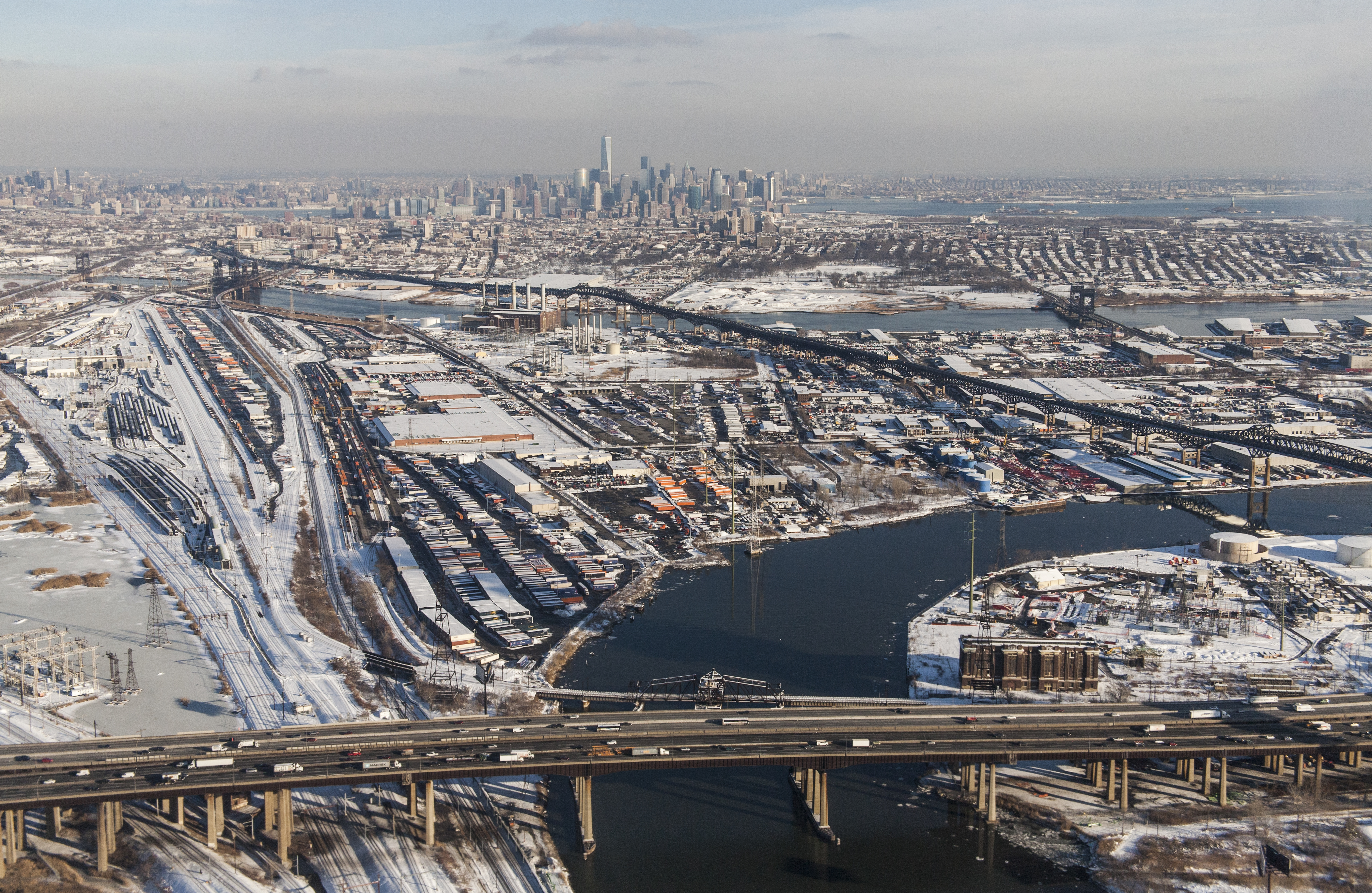
From the air, the Pulaski Skyway is one of the most distinctive pieces of infrastructure in the New York metropolitan area. It threads across the New Jersey Meadowlands like a steel ribbon, rising on concrete piers over a landscape of marshland, rail yards, and industrial lots that look almost unchanged from the 1930s. The two river crossings -- over the Passaic and the Hackensack, with the Kearny Point peninsula between them -- are visible from miles away, the latticed trusses of each bridge forming geometric silhouettes against the water. Below the skyway, the Lincoln Highway once carried the traffic that now flows overhead. From the cockpit, it is easy to see why the engineers chose to go up rather than through: the Meadowlands offered no solid ground for a conventional road, so they built one in the sky.
From the Air
The Pulaski Skyway runs east-west between Newark and Jersey City across the New Jersey Meadowlands. Coordinates: 40.736N, 74.089W (midpoint). The elevated structure is highly visible from the air, crossing the Passaic and Hackensack rivers with its distinctive steel truss bridges. Look for the two major river crossings and the Kearny Point peninsula between them. Nearby airports: KEWR (Newark Liberty, 3nm S), KJFK (JFK, 18nm E). Best viewed at 2,000-4,000 ft AGL to appreciate the skyway's full length and the Meadowlands terrain it crosses.