Punchbowl Crater
The Hawaiians called it Puowaina -- "Hill of Sacrifice." The name is older than any written record on the islands, and every era since has found a way to live up to it. Ancient priests conducted rituals on the crater rim. Kamehameha the Great mounted cannons there. The National Guard used it as a rifle range. Anti-aircraft guns fired from it on December 7, 1941. Today, the sacrifice the crater honors is measured in 53,000 flat granite headstones arranged in concentric rows across its floor.
Born from Coral and Fire
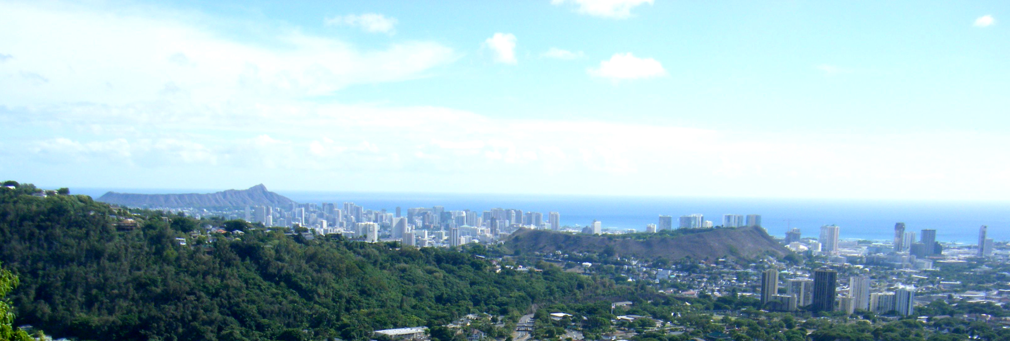
Punchbowl Crater formed between 75,000 and 100,000 years ago, during a late pulse of volcanic activity known as the Honolulu Volcanic Series. Lava punched through cracks in ancient coral reefs that once extended to the base of the Koolau Mountains, ejecting ash and rock fragments that built a classic tuff cone. The volcano is most likely monogenetic -- it erupted once, built its cone, and fell silent forever. The result is a nearly symmetrical bowl rising above the coastal plain of Honolulu, its rim reaching about 500 feet in elevation while its floor sits roughly 100 feet lower. From the air, the crater reads as a green amphitheater set against the urban grid, distinct from the larger and more famous Diamond Head crater several miles to the southeast.
Centuries of Purpose
Every generation has put the crater to use. In pre-contact Hawaii, the rim served as a place of human sacrifice and the enforcement of kapu -- the system of sacred prohibitions that governed daily life. Violators of taboos met their end here. When Western contact brought new technologies, Kamehameha the Great stationed a two-cannon battery on the rim to fire salutes for arriving ships and dignitaries. By the 1880s, the slopes of the Punchbowl opened for residential settlement, and in the 1930s, the Hawaii National Guard converted the crater floor into a rifle range. During the attack on Pearl Harbor, anti-aircraft guns positioned at Punchbowl fired on Japanese aircraft. Later in the war, the U.S. Navy built the Nimitz Bowl inside the crater in 1944 -- a sports and entertainment venue for USO shows. As the war wound down, tunnels were dug through the rim for shore batteries to guard Honolulu Harbor.
From Rifle Range to Resting Place
The transformation from military installation to memorial cemetery was not inevitable. When the idea was first proposed in the 1890s, Honolulu's leaders wanted no part of it. Creating what critics called "a city of the dead above a city of the living" struck many as macabre, and fears about contaminating the water supply provided practical cover for the emotional objection. It took World War II -- and thousands of remains awaiting permanent burial on islands across the Pacific -- to overcome that resistance. In 1943, the governor offered the crater to the federal government. Congress appropriated $50,000, which proved insufficient, delaying the project until 1948. The cemetery opened in 1949, dedicated on the fourth anniversary of V-J Day. Initially, graves were marked with white wooden crosses and Stars of David, mirroring the style of American military cemeteries in Europe. When flat granite markers replaced them in 1951, the public outcry was fierce, despite the Army's insistence that the originals had always been temporary.
The Crater Today
Punchbowl Crater is now one of the most visited sites in Hawaii. The National Memorial Cemetery of the Pacific fills its floor with orderly rows of headstones, columbaria, and the Honolulu Memorial with its Courts of the Missing. But the crater is more than a cemetery. Its rim offers sweeping views of downtown Honolulu, the harbor, and the Pacific, and its geological presence anchors the city's skyline from every angle. Diamond Head may be the postcard landmark, but Punchbowl is the one Honolulu lives beside daily -- a volcanic relic whose Hawaiian name anticipated, with unsettling accuracy, the purpose it would ultimately serve.
From the Air
Located at 21.312N, 157.846W in central Honolulu. The tuff cone is unmistakable from the air -- a near-perfect circular crater rising above the surrounding neighborhoods. Diamond Head is 3 miles to the southeast. Honolulu International Airport (PHNL) is 4 miles to the west. The crater rim provides a useful visual reference point for orientation above the city.