Purissima, California
"Its weathered gray buildings stand among moss-hung cypresses and eucalyptus trees, their windows broken, their stairs falling in, their facades rudely stuck with gay circus posters." That was Purissima in 1939, as recorded by the Federal Writers' Project. By then, the village four miles south of Half Moon Bay was already more memory than place, its brief ambitions swallowed by remoteness and bad luck. Today, almost nothing remains except a cemetery in the woods and the faint outline of what was once supposed to be the big town on the San Mateo County coast.
The Dobbel Dynasty
Henry Dobbel arrived in California via Cape Horn in 1845, a young man from Holstein who tried his hand at odd jobs and even ran a San Francisco restaurant before marrying German immigrant Margaret Roverkamf-Schroeder. She had crossed through the Isthmus of Panama to reach the same coast. In the 1860s, they sold their East Bay farm and bought a thousand acres from John Purcell along Purisima Creek. The house they built announced their ambitions: two stories, seventeen rooms, gas lighting, running water. Dobbel employed fifty men to plant and harvest wheat, barley, and potatoes. For a few decades, Purissima looked like it might become something substantial, with a post office, several stores, a school, a hotel called Purissima House, and a lumber mill at the mouth of the canyon feeding on redwoods from the Santa Cruz Mountains.
Oil, Flood, and Failure
Trouble arrived in waves. In January 1862, Purisima Creek flooded catastrophically, part of the same deluge that devastated much of northern California. Fields and buildings were swept away. Oil was discovered on George Shout's land in the 1880s, briefly raising hopes of a boom, but production never exceeded twenty barrels a day. Then came crop failures that rippled through the entire community. Dobbel had extended credit to too many customers at the general store he purchased, and the combination of bad harvests and unpaid debts drove him bankrupt. He sold his estate in 1890 to Henry Cowell but stayed in the area. Both he and Margaret are buried in the village cemetery, their tombstone still legible among the overgrowth.
The Railroad That Couldn't Save It
The Ocean Shore Railroad was supposed to change everything. Running from San Francisco south along the coast from 1907 to 1920, it included a stop at Purissima, promising the connectivity the village had always lacked. But the railroad itself was a financial disaster, never completing its planned route and abandoning operations after just thirteen years. Without reliable transportation, Purissima's remaining residents drifted to Half Moon Bay or points east. Buildings still stood into the 1930s, but the town was largely abandoned before World War II. The 1940 USGS map shows a few structures and notes the Purisima School; by 1943, even that was fading. Highway 1, which once passed through the village, was eventually rerouted to the west, bypassing Purissima entirely.
What the Trees Remember
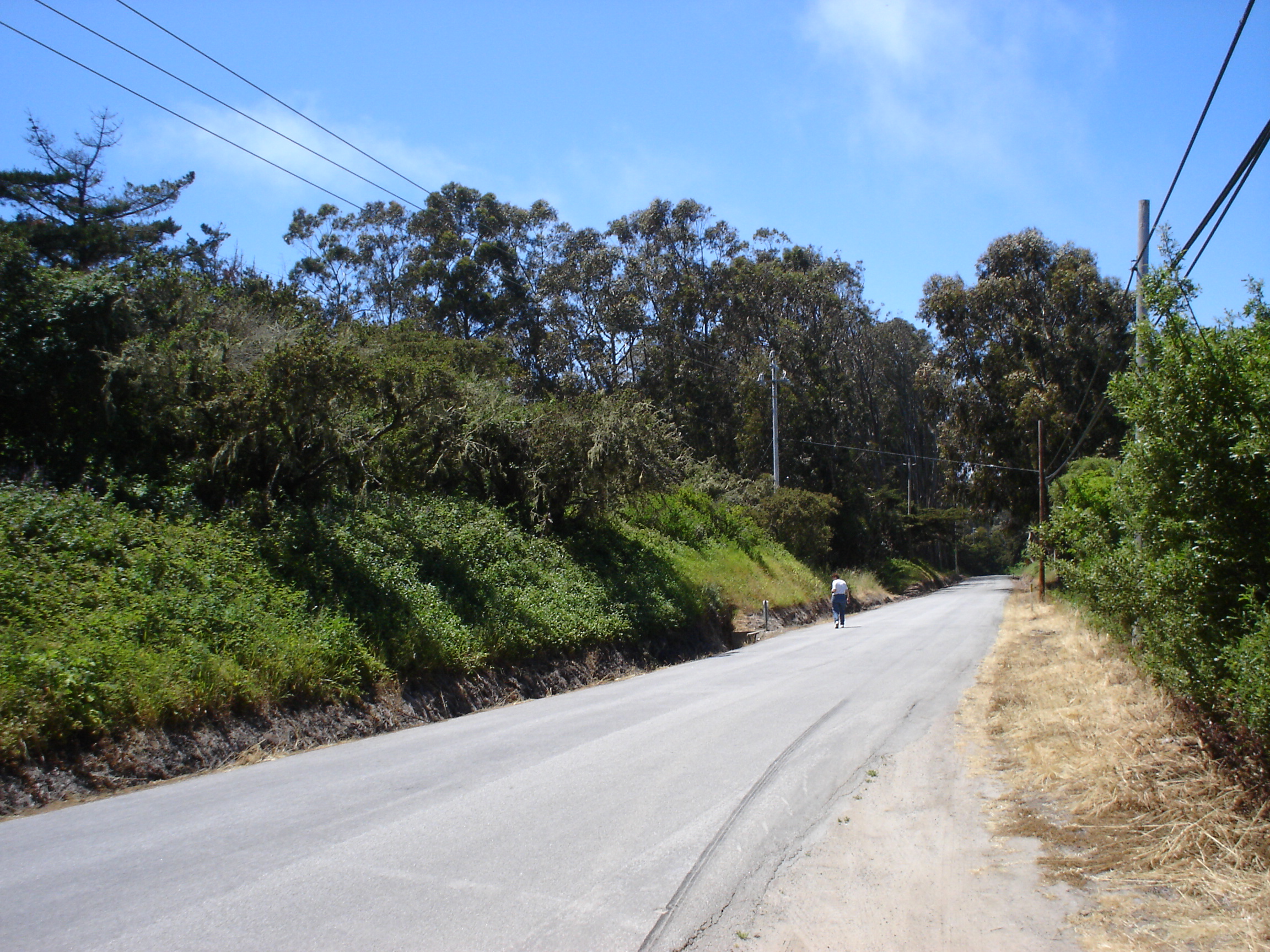
Purissima's name means "purest" in Spanish, a reference to the Immaculate Conception, though the double-s spelling may reflect either the Portuguese influence in the area or a misreading of the Holstein character for the sharp s. The first Europeans here were members of the Portola expedition, who camped near the creek on October 27, 1769, and found an abandoned Torose village. The indigenous community had already moved into the mountains. Today, the site where Purissima stood is buried under evergreen trees and heavy vegetation. In 2017, restoration work began on the cemetery, clearing access trails to the graves of the Dobbels and their neighbors. Verde Road, which once was the original alignment of Highway 1, runs past the site. Several farms surround it. Purissima was supposed to be the big town on the coast, one historian noted, but it was harder to get to. It still is.
From the Air
Located at 37.403°N, 122.417°W on the San Mateo County coast, 4 miles south of Half Moon Bay. The ghost town site is near the intersection of Highway 1 and Verde Road, marked by dense vegetation and the historic cemetery. Nearest airport: Half Moon Bay Airport (KHAF), 4 nm north. Best viewed below 2,000 ft AGL. The cemetery is in the woods between Verde Road and Highway 1.