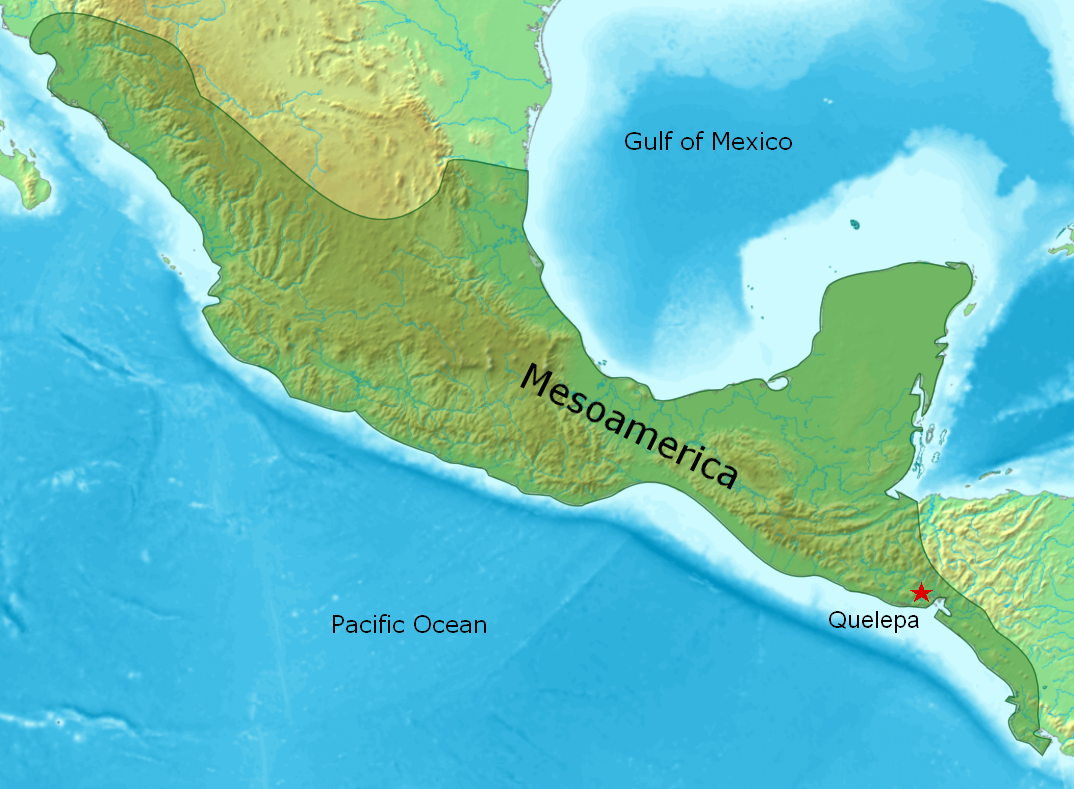
Quelepa
The name means 'stone jaguar' in the Lenca language, and the monolithic Jaguar Altar that gave Quelepa its name does not disappoint. Measuring over three meters long and carved with relief sculptures on all four sides, it sat for centuries near the edge of a high terrace overlooking the San Esteban River in eastern El Salvador. When archaeologists excavated it in the late 1960s, they found that looters had already tunneled beneath it, but the altar's sheer weight -- the stone is massive enough to defy easy removal -- had kept it roughly in place. Today it resides in the Museo Nacional de Antropologia in San Salvador, far from the site where Lenca builders erected pyramids, played ballgames, and traded obsidian along routes that connected them to civilizations hundreds of kilometers away.
Pyramids with Ramps
Quelepa's most distinctive architectural feature is one you would not find at most Mesoamerican sites: ramps instead of stairways. The two largest pyramids in the East Group, Structures 3 and 4, were accessed by broad stone ramps that rose at angles between thirteen and twenty-eight degrees. Structure 3, the larger of the two, stood roughly ten meters high with eight stepped levels built from massive volcanic tuff blocks, some weighing over a ton. Ten men could not move them without mechanical aid during excavation. The smaller Structure 4, dating to the Early Classic period, had only two levels and reached about six meters. Both pyramids faced south toward the river and once supported perishable superstructures of wattle and daub whose burnt remains littered the site when archaeologists arrived. This ramp tradition, rare in Mesoamerica, has parallels only at Los Naranjos in Honduras and Bilbao on the Guatemalan Pacific coast.
The Ilopango Rupture
Around AD 539, the Ilopango volcano erupted catastrophically, devastating western El Salvador and severing the trade routes that had connected Quelepa to the broader Mesoamerican world. For many sites, such isolation would have meant decline. At Quelepa, it produced the opposite: a florescence of local culture. Cut off from western suppliers, the community turned east and north, forging new connections with the Intermediate Area beyond Mesoamerica's traditional borders. Artifacts from this period show influences arriving from Honduras and points further afield. The major ceremonial architecture of the East Group was built during this era of creative independence, as if the severed connection to the west freed the builders to develop something distinctly their own. Obsidian continued to flow in from the Guatemalan Highlands, evidence that at least some trade routes survived or were rerouted.
Ballgames and Gulf Coast Connections
Beneath a stone slab near Structure 29, archaeologists uncovered one of Quelepa's most remarkable offerings: three U-shaped stone yokes arranged in an interlaced pattern, two carved palmas, and a sculpted hacha. All are objects associated with the Mesoamerican ballgame, and stylistic analysis links the palmas to Veracruz on the Gulf coast of Mexico, over a thousand kilometers to the northwest. The larger palma depicts a seated deity, probably Ehecatl, the wind god. The smaller represents a feathered serpent. Alongside these ritual objects, the site yielded wheeled ceramic toys and flutes that also suggest Gulf coast influence. An I-shaped ballcourt in the West Group, though never excavated, confirms that the game was played here. In the rainy season, runoff water flows directly through the court and has buried it under more than two meters of soil, preserving what lies beneath while hiding it from view.
Abandonment and Rediscovery
Around AD 1000, at the dawn of the Early Postclassic period, Quelepa was abandoned entirely. The departure has been linked to the arrival of the Pipil people in the region, though no evidence suggests they ever occupied the site itself. For centuries the ruins lay under farmland, their stone facings gradually stripped by the owners of Hacienda El Obrajuelo for construction material in nearby San Miguel. The first published mention came in 1913 from Atilio Peccorini. Samuel Lothrop visited in 1926 to buy ceramics for the Museum of the American Indian in New York, listing the site under an alternative name, Mayacaquin. The principal excavations did not begin until 1967, when E. Wyllys Andrews directed three seasons of work funded by Tulane University. As recently as 2005, despite its official designation as a National Archaeological Monument, Quelepa remained effectively unprotected, its forty structures spread across half a square kilometer of privately owned farmland planted with maize and cotton.
From the Air
Quelepa is located at 13.53N, 88.22W in eastern El Salvador, 8 km west-northwest of the city of San Miguel. The San Miguel volcano (2,132 m) is the dominant landmark to the south. The archaeological site sits along the north bank of the San Esteban River. Best viewed at 2,000-4,000 feet AGL. Nearest significant airport is Ilopango International Airport (MSSS) near San Salvador, approximately 130 km to the west. The flat flood plain of the Rio Grande de San Miguel is a useful navigation reference.