Quetzaltenango
Everyone calls it Xela. The official name, Quetzaltenango -- "place of the quetzal bird" in Nahua -- was bestowed not by the city's founders but by the Nahua allies of the Spanish conquistadors who arrived in the early 1500s. By then, the city was already some 300 years old. The K'iche' Maya had founded it as Xelaju, moving it from an earlier site at the base of Volcan Santa Maria, and the name stuck in the mouths of the people who actually live here. Pronounced SHAY-la, it carries the casual intimacy of a place that considers itself distinct from Guatemala City in every way that matters -- culturally, historically, and temperamentally.
A Capital That Almost Was
Quetzaltenango's history is a story of ambition repeatedly thwarted by geography and politics. During the Spanish colonial period, it served as the administrative capital of the Western Highlands. When Central America broke from Spain in the 1820s, conflicts between Quetzaltenango and Guatemala City produced something remarkable: Los Altos, the self-declared "Sixth State of the Central American Confederation," encompassing western Guatemala and a slice of what is now Chiapas, Mexico. Quetzaltenango was its capital. The experiment was brief. When the Central American Federation collapsed in 1839-1840, Los Altos existed as a de facto independent state for a matter of months before the army of Guatemalan dictator Rafael Carrera crushed the city and hanged its leaders. The dream of independence never entirely faded. Quetzaltecos still carry a distinct regional pride that borders on separatism in its quieter expressions.
Three Years of Marvel
Nothing captures the city's relationship with ambition and loss quite like the Ferrocarril de los Altos. Plans for a highland railway dated to the 1890s, but construction did not begin until the 1920s. When the line was finally completed in 1930, it was proclaimed an engineering marvel -- a railroad connecting the isolated highlands to the wider world. Three years later, landslides destroyed it. The Ferrocarril de los Altos operated for barely a blink, but it lives on in local song, story, and a dedicated museum in town. The coffee boom of the late nineteenth and early twentieth centuries had paid for much of the city's ambition, producing the neoclassical and Belle Epoque landmarks that still define the historic center: the Municipal Theatre, the Espiritu Santo Cathedral with its layered facade dating to 1535, the Pasaje Enriquez commercial building from 1900 facing the Parque Central. These were built by Quetzalteco masons working volcanic stone into European forms.
Volcanoes and Sorcerers' Lakes
Santa Maria Volcano rises to 12,256 feet just six kilometers from town, and on clear mornings the view from its summit stretches across the entire Pacific coastal plain to Tapachula, Mexico. Below the main peak, the Santiaguito crater erupts at least once every hour -- a reliable, rumbling reminder that the highlands are alive. The Fuentes Georginas hot springs sit on the slopes of the inactive Zunil Volcano, natural thermal pools surrounded by cloud forest where steam rises into cool mountain air. Nearby Zunil itself is a center for the worship of Maximon, a life-sized mannequin figure endowed with what locals describe as occult power -- a syncretic tradition blending Maya and Catholic elements. Three hours by foot from San Martin Sacatepequez, the crater lake of Laguna de Chicabal draws sorcerers from across the region every May 3rd for ceremonies that predate the Spanish arrival by centuries.
Where Spanish Is Learned and Marimba Is Practiced
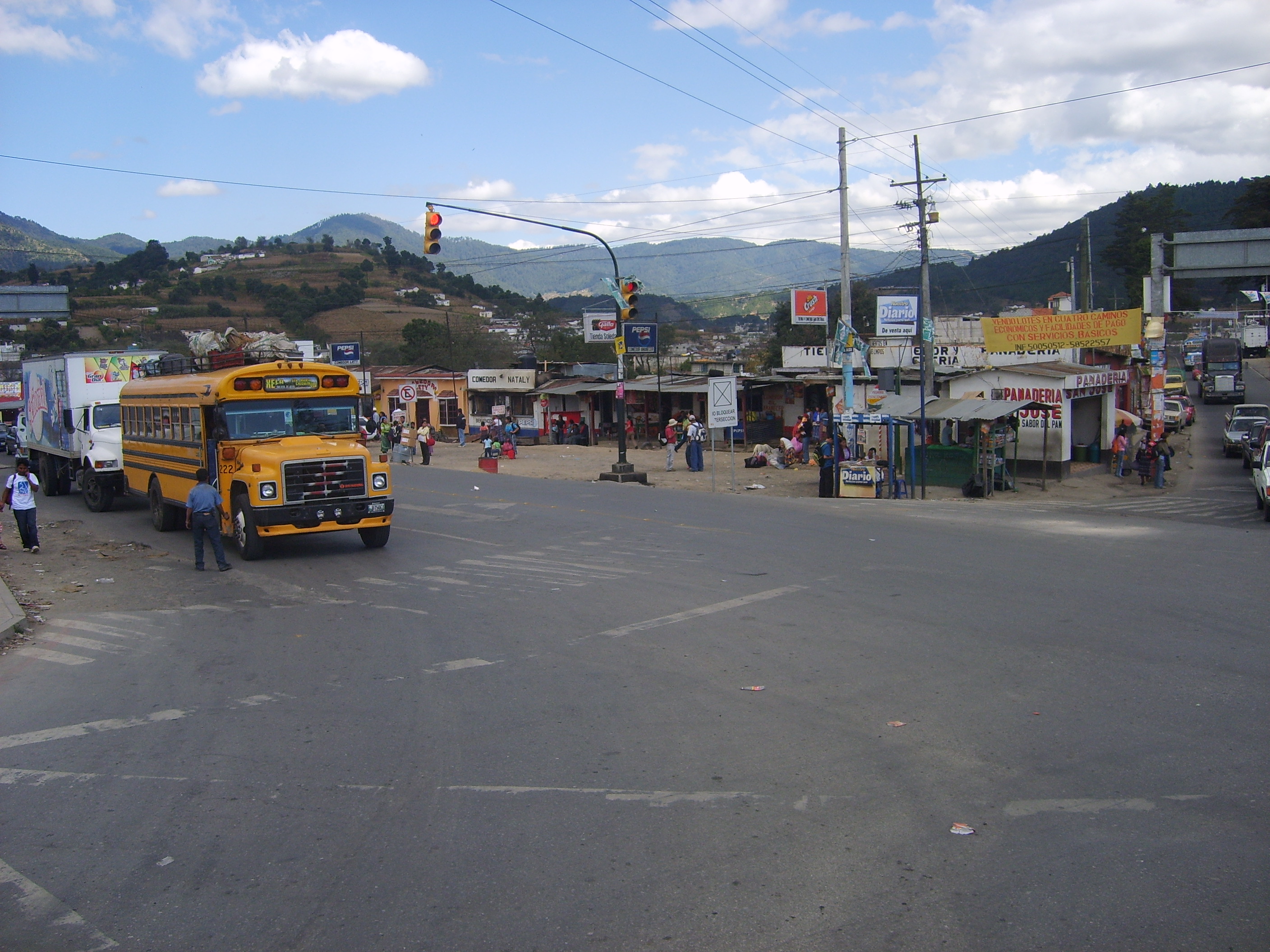
Xela has earned a reputation as one of the best places in the Americas to learn Spanish. More than a hundred language schools operate here, most offering one-on-one instruction with homestay programs at prices that attract students from around the world. Walk through the side streets of the historic center and you will hear the sounds of the city's other educational tradition: a guitar master giving lessons, a group of men practicing marimba, the wooden resonance carrying through open windows. The Parque Central anchors daily life. On the first Sunday of each month, an artisans' market fills the square with handcrafts from surrounding K'iche' and Mam villages. Evening marimba concerts on the steps of the Municipalidad draw crowds who linger as the highland air cools. At the football stadium, Xelaju M.C. matches generate an atmosphere where fireworks alone justify the price of admission. The city's prosperity declined through the Depression and the Guatemalan Civil War, but a renewal in the new millennium has restored its landmarks and its confidence.
From the Air
Located at 14.83N, 91.52W in Guatemala's Western Highlands at approximately 2,300 meters elevation. The city sits in a broad valley surrounded by volcanoes, with Santa Maria (3,772 m) and its actively erupting Santiaguito dome visible to the south. From altitude, the contrast between the green highland valley and the volcanic peaks is striking. The nearest airport is Quetzaltenango Airport (MGQZ), though most travelers arrive via La Aurora International Airport (MGGT) in Guatemala City, 200 km to the east.