Quixadá
In November, when the sertão heats the air to a particular temperature and the trade winds settle into a particular direction, the paragliders come. They come to Quixadá for one reason: on the right day, you can climb off an inselberg here, catch the thermal chains that line up across the scrubland, and fly farther in a single flight than almost anywhere else on Earth. Several world distance records have been set from these rocks. The pilots know it. Quixadá, a town of 80,000 founded in 1870, is quietly one of the most important paragliding destinations on the planet.
The Name That Survived
Quixadá is one of few Brazilian towns with an indigenous name rather than a Portuguese one. Until the 1760s, the Kanindé and Jenipapo peoples lived on this land. Conflicts with Portuguese settlers led to their destruction; their presence survives mostly in the place names that colonists kept because the Portuguese had not yet invented alternatives. The word Quixadá comes from the Tupi-Guarani language family, and the town's identity has never shed that origin. The city was formally founded as a municipality in 1870 and is today the seat of the Roman Catholic Diocese of Quixadá.
Rachel de Queiroz and O Quinze
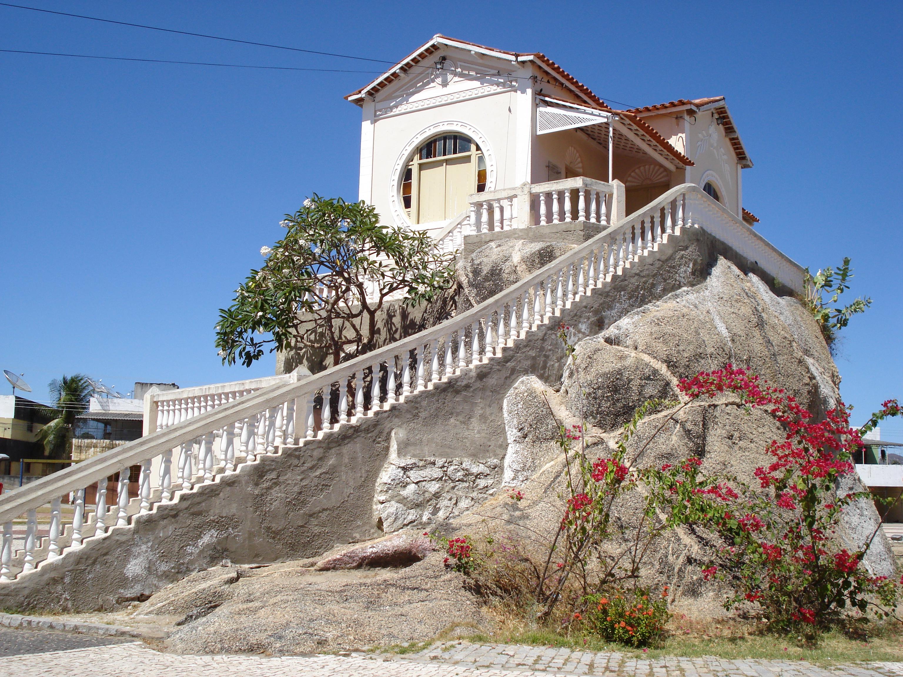
Brazilian literature's best-known figure from Quixadá is Rachel de Queiroz. Born in Fortaleza in 1910, she lived most of her life on the family farm here - Fazenda Não Me Deixes, "Don't Leave Me." Her debut novel, O Quinze, published in 1930 when she was 20, portrayed the devastating 1915 drought in the Ceará sertão and made her a national figure. Queiroz went on to become the first woman elected to the Brazilian Academy of Letters, in 1977. Three sites in Quixadá commemorate her: the Memorial Rachel de Queiroz at the former Chalé da Pedra, the Museu Rachel de Queiroz at the family farm, and the Rachel de Queiroz Cultural Center. The town's best-known writer is also its clearest window into what drought meant in the sertão during the 20th century.
Flying From the Rocks
The Pedra da Galinha Choca, the Brooding Hen Rock, provides the launch. From its 300-meter face, paragliders step into air that rises off the hot Caatinga floor in columns linked into chains that stretch hundreds of kilometers across the sertão. The sport arrived here in the 1990s, and since then Quixadá has hosted multiple world distance record flights, most famously during the November pre-monsoon window when thermal activity peaks. Hang gliders share the launches; rock climbers work the vertical faces of the same monoliths. On a strong day in November the sky above Quixadá can hold dozens of colored canopies climbing above the domes like confetti floating the wrong direction.
Cedar Dam and the Inselbergs Around It
At the foot of Pedra da Galinha Choca sits the Barragem do Cedro, the Cedar Dam, built between 1890 and 1906 to combat the cycle of sertão droughts. It was placed on Brazil's tentative UNESCO World Heritage list on 30 January 2015. The 16,635-hectare Quixadá Monoliths Natural Monument, established in 2002, protects the surrounding inselbergs and their prehistoric cave paintings. From the town it's a short drive - or a technical climb - to any of them. The monoliths define Quixadá: you see them from every street, every window, every launching point. They are the reason the pilots come, the reason Rachel de Queiroz wrote about this landscape, and the reason the town still bears a name that the colonists never quite replaced.
From the Air
Coordinates 4.97°S, 39.02°W. Quixadá is served by Quixadá Airport (ICAO SNQX), a regional strip; the nearest major airport is Fortaleza (ICAO SBFZ), about 160 km northeast. From the air the town shows clearly against the flat Caatinga, with the bare granite domes of the Pedra da Galinha Choca and other inselbergs rising 200-300 meters around it. The Cedar Dam reservoir is visible on the northern edge. Thermal conditions for paragliding peak in November; cross-country record attempts typically run from mid-October through early December. Excellent visibility most of the year; rainy season is February through May.