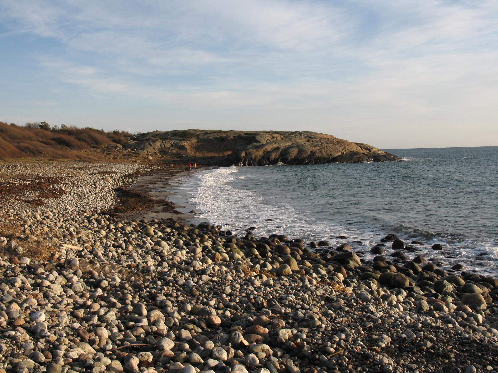
Raet National Park
Ninety-nine percent of this national park is underwater. Raet, established in 2016 along Norway's Agder coast, covers 607 square kilometers, but only eight of those are land. The rest is sea, and beneath that sea lies the reason for the park's existence: a long glacial moraine deposited roughly 12,000 years ago, when a retreating ice sheet dumped an enormous load of boulders, pebbles, gravel, sand, and clay it had been carrying for centuries. This submerged ridge runs through the waters off Arendal, Tvedestrand, and Grimstad, occasionally surfacing as islands and skerries. In one place, it pushes just high enough above the waves to form Maen, a tiny, unstable pebble island only 130 meters long, the moraine's most precarious above-water expression.
The Glacier's Last Gift
The raet, the moraine formation that gives the park its name, can be traced across all of Scandinavia. It marks the front edge of the last great ice sheet's retreat, a geological signature written in debris. Where the glacier paused and melted, it left behind everything it had scraped off the landscape during its advance: rocks from mountains hundreds of kilometers to the north, clay ground fine by millennia of pressure, gravel sorted and deposited by meltwater. In the waters of Raet National Park, this formation runs partly on land and partly beneath the sea, creating a varied underwater topography of ridges, shallows, and sudden drops. Jerkholmen, a small island in the park, is composed almost entirely of moraine material, a piece of the glacier's cargo that happened to pile high enough to stay dry.
A Graveyard of Ships
The moraine's underwater ridges have been treacherous for shipping since humans first sailed these waters. The area around Maen, where the ridge barely breaks the surface, is known as a ships' graveyard. Vessels that misjudged the depth or were caught by storms struck the hidden shallows and went down. The moraine continues eastward beyond the park's boundaries, extending to Jomfruland National Park in Telemark and on to Molen in Vestfold, a chain of glacial debris stretching across southern Norway's coast. For sailors, this submerged ridge was a hazard. For the marine life that colonizes hard surfaces in shallow water, it was an opportunity.
Forests Beneath the Surface
The shallow sea over the moraine is exposed to currents that sweep westward along the coast, bringing nutrients and oxygen. Where the seabed is rocky, forests of kelp rise from the substrate, their fronds swaying in the current like trees in wind. These kelp forests support a rich community of fish and invertebrates, creating an underwater ecosystem as complex and productive as any woodland on land. In more sheltered areas, where sand and gravel have settled between the rocks, eelgrass meadows take over, their long green blades providing habitat for a different set of species. The contrast between exposed and sheltered zones within the park creates a mosaic of marine habitats packed into a relatively small stretch of coastline.
Where the River Meets the Sea
The park's small land component includes rocky, shingly, and sandy shores, coastal wetlands, and the brackish water of the Nidelva delta, where the river mixes with the sea. This transition zone between fresh and salt water is biologically productive, attracting both resident species and migratory birds that pass through on their journeys between winter quarters and northern breeding grounds. The bird life is one of the park's most accessible features for visitors, since watching terns and waders along the shoreline requires no diving equipment. But the heart of Raet lies below the waterline, in the kelp forests and eelgrass meadows and the long, hidden ridge that a glacier built and then abandoned twelve thousand years ago.
From the Air
Located at 58.43N, 8.80E along the Agder coast in southeastern Norway, spanning waters off Arendal, Tvedestrand, and Grimstad. From the air, the park's marine nature means most of it is not visible, but the coastline of islands, skerries, and the Tromoya island area define its boundaries. Look for the rocky archipelago and the Nidelva river delta. Nearest airport is Kristiansand Kjevik (ENCN), approximately 75 km southwest. At 3,000-5,000 feet AGL, the coastal island chain and shallow waters are visible as lighter blue patches against the deeper sea.