Raijinyama Kofun
Nobody knows who lies inside. Sixteen centuries of silence surround the identity of the ruler entombed within Raijinyama Kofun, a massive keyhole-shaped burial mound that crowns Natori hill south of Sendai. At 168 meters long, it is the largest kofun in the entire Tohoku region of northern Japan -- a monument of staggering ambition built for someone whose name was never recorded, or was deliberately erased from memory. The tomb appears in no historical document. The person buried here commanded enough labor and loyalty to reshape a hilltop into a terraced earthen monument visible from across the Sendai Plain, yet their story has been swallowed completely by time.
Shaped Like a Keyhole, Sized Like a Kingdom
Seen from above, the kofun's distinctive shape becomes clear: a large circular mound joined to a trapezoidal front section, forming what archaeologists call a zenpokoenfun, or keyhole-shaped tomb. The circular rear portion rises in three stepped stages to a height of 12 meters, with a diameter of 96 meters. The trapezoidal front stretches 72 meters long and stands 6 meters high in two stages. Builders partially shaped the natural contours of the hill itself, then covered the entire structure in fukiishi -- a cladding of river stones that once made the mound gleam white against the green landscape. A moat once partially encircled the monument. Just to the north sits a smaller companion: the Kozuka kofun, a domed tumulus 54 meters across, its relationship to the main tomb still debated by scholars.
Fragments of a Vanished Age
Though the tomb has never been fully excavated, surface finds tell a partial story. Pot-shaped haniwa -- hollow clay cylinders and figures that were placed on and around kofun as ritual markers -- have been recovered from the site, along with fragments of Sue ware, a hard gray pottery introduced to Japan from Korea. Together, these artifacts date the mound to the late 4th or early 5th century AD, a period when powerful regional chiefs across Japan competed for dominance and expressed their authority through ever-larger burial constructions. Whoever commanded Raijinyama's construction held sway over this stretch of the Tohoku frontier at a time when central Yamato authority had not yet fully reached these northern lands.
What the Earthquake Revealed
On March 11, 2011, the magnitude-9.0 Tohoku earthquake -- one of the most powerful ever recorded -- shook the region to its foundations. A section of the posterior tumulus at Raijinyama collapsed, and what spilled from the breach offered a tantalizing clue: evidence suggesting the presence of a clay or wooden coffin within a burial chamber. For archaeologists, the destruction was bittersweet. The earthquake damaged a National Historic Site designated since 1956, yet it also provided the first physical hint of the burial arrangement inside a tomb that had guarded its secrets for over a millennium and a half. The area of the historic site designation was expanded in 1968, reflecting the growing appreciation for the archaeological significance of both the main kofun and its smaller companion.
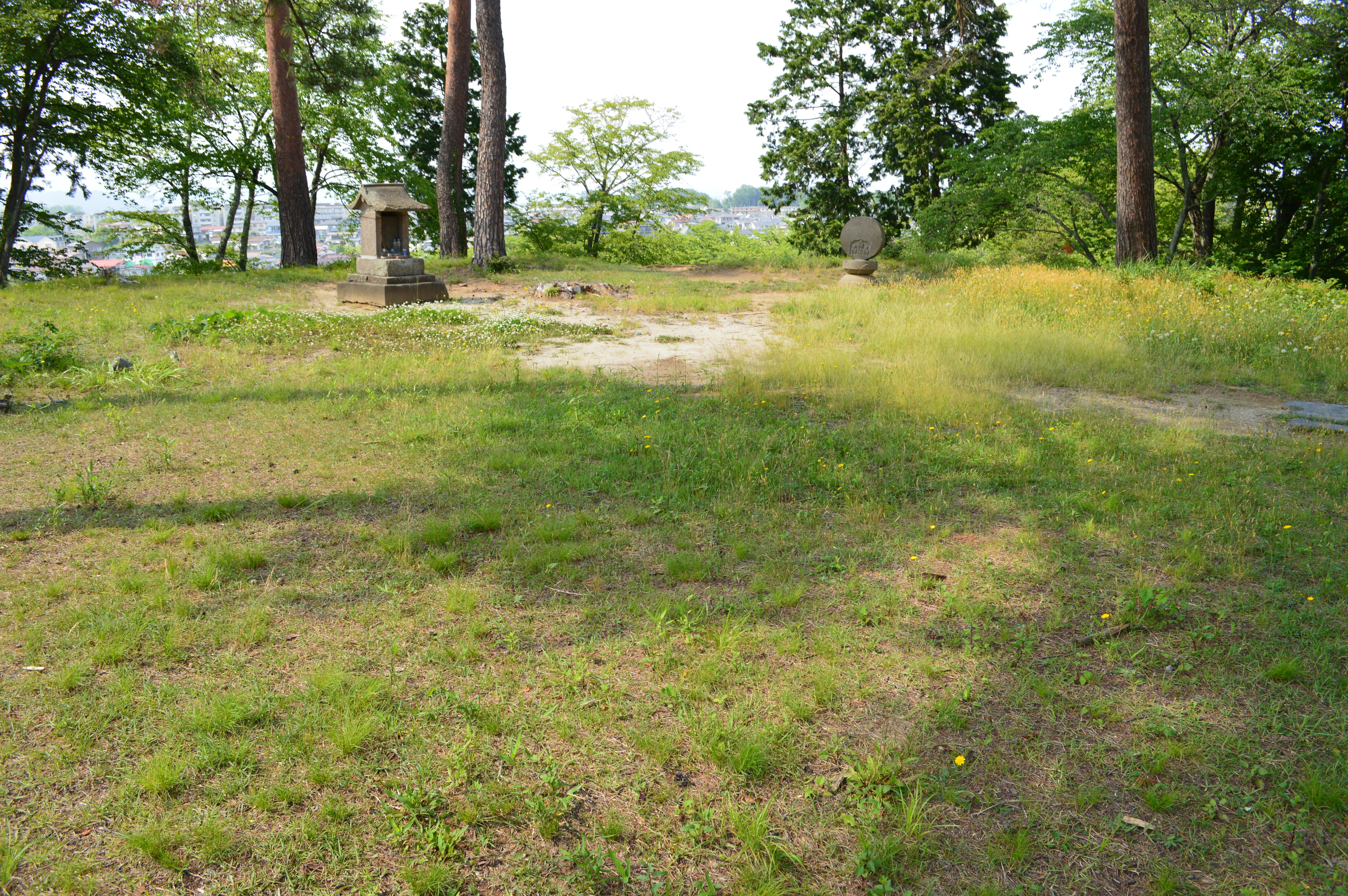
A Hill Above the Plain
Today, Raijinyama Kofun is maintained as a public historic park, its grassy slopes rising above the suburban landscape of Natori city. The stepped profile of the mound remains legible despite centuries of erosion, and the surrounding hilltop holds a concentration of other large tumuli that mark this as a center of ancient power. Visitors can reach the site in about 30 minutes on foot from Tatekoshi Station on the JR East Tohoku Main Line. Standing on the mound's upper terraces, looking out across the Sendai Plain toward the Pacific, it is not difficult to understand why a leader of immense but forgotten stature chose this particular ridge as their final resting place.
From the Air
Located at 38.1509N, 140.8794E on Natori hill, about 2 km south of central Natori city and roughly 13 km south-southeast of Sendai. The keyhole shape of the kofun is best appreciated from directly overhead at 2,000-3,000 feet. Sendai Airport (RJSS) lies just 4 km to the southeast, making this an easy landmark to spot during approach or departure from runway 27/09. The Natori River provides a visual reference to the north. JGSDF Kasuminome Airfield (RJSU) is approximately 8 km to the north-northeast.