Rainbow Bridge National Monument
The Navajo call it Nonnezoshe -- rainbow turned to stone. Tucked into the rugged canyons at the base of Navajo Mountain in southern Utah, Rainbow Bridge is one of the largest natural bridges on Earth, a sweeping arc of salmon-pink sandstone that has drawn reverence from Indigenous peoples for centuries and astonishment from every outsider who has made the journey to stand beneath it. Protected as a National Monument since 1910, this immense formation remains one of the most striking geological features in the American Southwest, a place where deep time, sacred tradition, and the raw power of water converge in a single breathtaking span of rock.
Rainbow Turned to Stone
Ancient Pueblo People knew these canyons long before any European set foot in the region. Later, Paiute and Navajo groups moved through the landscape and gave the bridge its enduring name: Nonnezoshe. For these communities, the bridge is not merely a geological curiosity but a sacred site, a place of spiritual significance that commands respect and careful stewardship. Several Native American families still live nearby, maintaining a connection to the land that stretches back generations. The National Park Service has recognized this deep cultural bond by designating Rainbow Bridge a Traditional Cultural Property, acknowledging that its value extends far beyond its physical dimensions.
A Bridge Built by Water and Time
The story of Rainbow Bridge begins in the Triassic and Jurassic periods, when wind piled sand into vast dunes across a landscape that alternated between sea and Sahara-scale desert. Those layers compressed into sandstone of varying hardness -- the bridge's lintel is Navajo Sandstone, while Bridge Creek below cuts through the softer Kayenta Formation. During the last ice age, Bridge Creek carved its way toward the growing Colorado River, forming a wide hairpin bend around a solid fin of resistant sandstone. Swirling eddies on both the upstream and downstream sides scoured circular alcoves into the rock walls. Grain by grain, the softer layers gave way while the harder stone held, until the creek punched clean through and left behind the soaring arch we see today. The old course of the creek is still visible above the bridge, a ghostly reminder of the river's former path.
From Isolation to Lake Powell
For most of its modern history, reaching Rainbow Bridge required serious commitment. After World War II, river runners floating Glen Canyon could make the trip, but it still meant days on the Colorado River plus a six-mile hike up-canyon. By the early 1950s, jet boats from Lee's Ferry shortened the journey, but the bridge remained a destination for the determined. Everything changed when Glen Canyon Dam was authorized in 1956. By 1963, the dam's gates closed and Lake Powell began rising through the river's side canyons, bringing motorboat access within a two-hour ride from marinas near Page, Arizona. Today, visitors can reach the bridge by boat followed by a roughly mile-long walk -- though the exact distance shifts with the lake's water level. The alternative is a multi-day overland hike from the southwest side of Navajo Mountain, requiring backcountry experience and a permit from the Navajo Nation.
Standing Among Giants
Rainbow Bridge occupies a distinctive place among the world's great natural arches. Two other formations in southern Utah -- Kolob Arch and Landscape Arch -- have confirmed spans several meters longer, but both are classified as arches rather than bridges by most geological definitions. Rainbow Bridge stands taller than either of its longer competitors. Globally, Aloba Arch in Chad and Shipton's Arch in China surpass it in height, while Xianren Bridge in China's Guangxi Province claims the longest span of any natural bridge on Earth. Yet Rainbow Bridge remains singular for its combination of scale, accessibility, and cultural weight. Few natural formations anywhere carry such layered meaning -- sacred site, geological marvel, and national monument all contained in a single sweep of ancient stone arcing against the Utah sky.
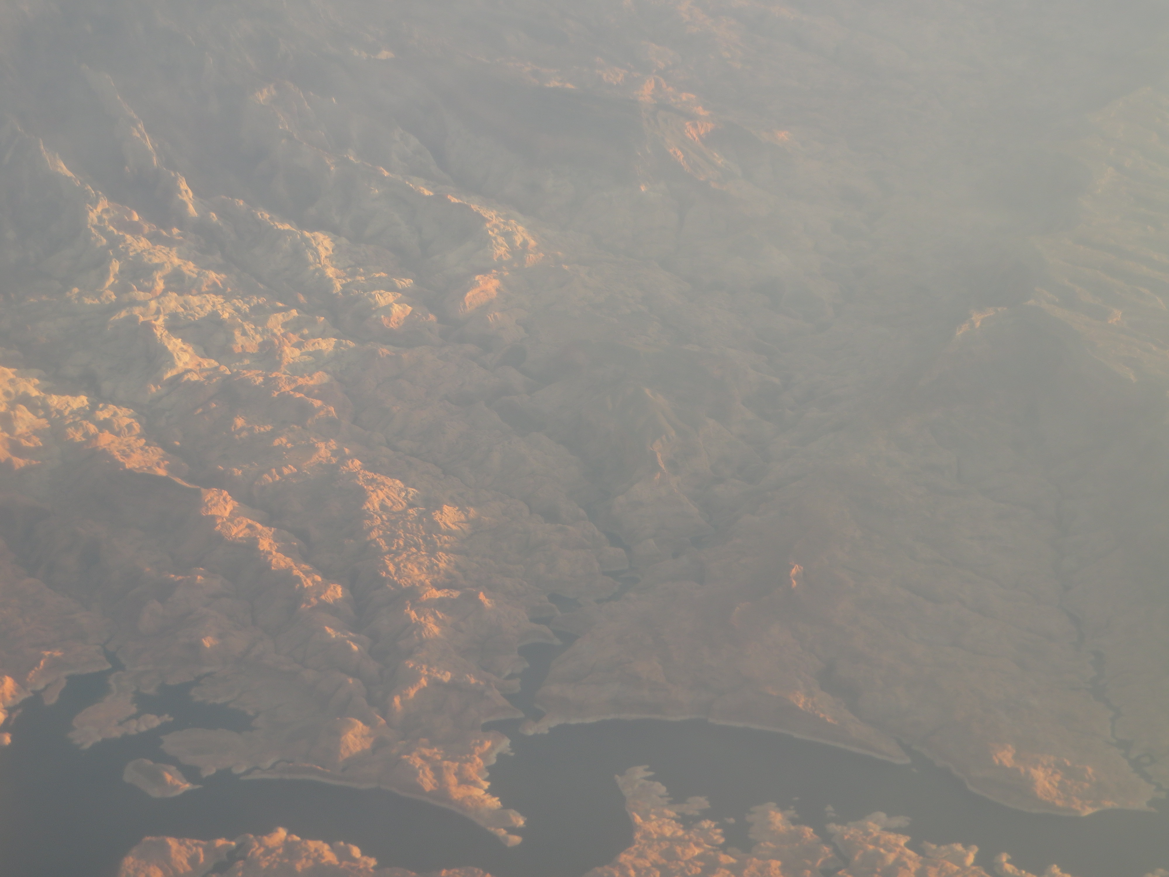
From the Air
Rainbow Bridge is located at 37.077N, 110.964W, nestled in a side canyon off Lake Powell near the base of Navajo Mountain (10,346 ft). From the air, look for the distinctive dark slot canyon branching south from Lake Powell's main channel. Best viewed at low altitude (2,000-4,000 ft AGL) in clear conditions. Nearest airport: Page Municipal Airport (KPGA), approximately 40 nm to the west. The bridge itself is small relative to the surrounding canyon system, so careful navigation using Lake Powell and Navajo Mountain as reference landmarks is essential.