Rakiura Track
The weather forecast for Stewart Island reads like a disclaimer: expect four seasons in one day. That is the fine print for anyone setting out on the Rakiura Track, a 32-kilometer loop through the northern reaches of New Zealand's most remote national park. The track begins and ends in Oban, the island's only settlement, and typically takes three days to walk. It is one of New Zealand's Great Walks, but unlike the Milford or Routeburn, it rarely feels crowded. Most nights, the huts hold more kiwi calls than conversations.
Coast, Forest, and Mud
The track forms a circle from Oban, heading north along the coast before swinging inland and returning via the shores of Paterson Inlet. The first day is the most dramatic: the route follows beaches and headlands with views across to the South Island, passing through forest that drops straight to the waterline. At Maori Beach, the remains of a historic sawmill sit just off the main path - a five-minute detour into the island's timber-milling past.
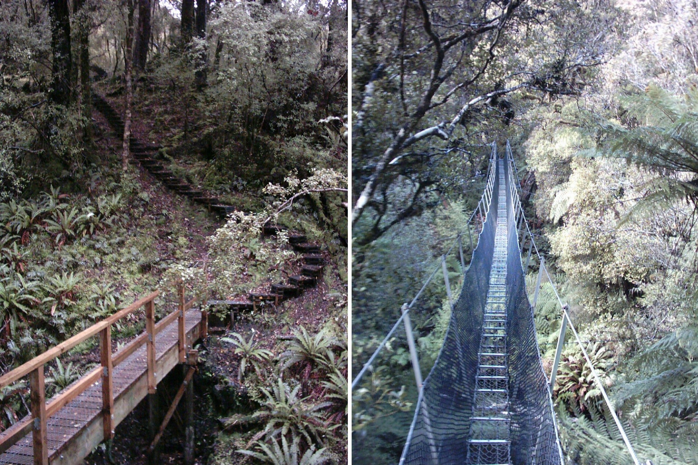
Inland, the character changes. The track winds through lowland rainforest of kamahi, totara, and rimu, dense and dripping, the undergrowth thick with ferns. Boardwalks span the worst of the mud, but 'worst' is relative on Stewart Island. Rain falls frequently and generously. The mud is not a hazard to avoid; it is a feature of the terrain. Good waterproof boots and gaiters are not optional equipment - they are the price of admission.
Huts, Bunks, and Darkness
Two huts serve the track: Port William and North Arm, each a day's walk apart and a day from town. They provide bunks, mattresses, and wood-burning stoves, but no lighting, no linen, and no cooking equipment. Trampers carry sleeping bags, torches, food, and portable stoves. Three campsites offer an alternative for those carrying tents.
Booking is mandatory - the Department of Conservation manages capacity to protect both the track and the experience. Outside the huts, there are no shops, no restaurants, no cellphone coverage. When night falls, it falls completely. The darkness is the point. This is when the southern brown kiwi emerge, their distinctive calls carrying through the bush. Trampers sitting quietly on hut verandas after dark regularly hear them, and sometimes catch a glimpse of a large, round-bodied bird shuffling through the undergrowth just meters away.
A Walk You Can Taste
Stewart Island's climate confounds expectations. Summer temperatures hover between 15 and 18 degrees Celsius, rarely warm enough for swimming but mild enough for comfortable tramping. Winter drops to 7 to 11 degrees and, counterintuitively, often brings more settled weather and fewer crowds. The constant is moisture: the air tastes of salt and rain and the tannins of decomposing leaf litter.
The track begins at sea level and its highest point is modest, but the terrain is not flat. Short climbs through root-tangled forest give way to descents onto beaches where the sand may be golden or iron-black. Tidal sections require attention - at high tide, inland alternatives bypass the beach routes, but the coastal path at low tide is the more rewarding option. A suspension bridge crosses an inlet at the far end of Maori Beach, swaying above water that can be startlingly clear.
Beyond the Circle
For those who find three days too brief, the Rakiura Track shares its first and last day with the Northwest Circuit, a 125-kilometer, ten-day expedition that circumnavigates the island's northern and western coastline. That route visits Mason Bay, where kiwi forage on the beach in near-darkness, and crosses the Freshwater Depression before returning to Paterson Inlet. Ten backcountry huts space the journey, each five to seven hours apart.
There is also the Southern Circuit, a nine-day, 70-kilometer challenge that leads to Doughboy Bay Hut - the southernmost hut in the Department of Conservation's entire network. After rain, this track involves wading through mud and standing water for hours at a stretch. It is not a walk for everyone. But the Rakiura Track itself is, and that is its gift: a genuine backcountry experience, complete with kiwi and solitude, accessible to anyone willing to carry a pack for three days and accept whatever weather Stewart Island decides to deliver.
From the Air
The Rakiura Track is located on the northern portion of Stewart Island at approximately 46.86S, 168.12E. The track loops from Oban/Halfmoon Bay northward along the coast to Port William, then inland and south along Paterson Inlet back to town. Ryan's Creek Aerodrome (NZRC) near Oban serves the island with 20-minute flights from Invercargill Airport (NZNV). The track's coastal sections are visible from the air along the island's northeast shore. Paterson Inlet, which the track follows on its return leg, is a prominent geographic feature bisecting the island. Ferry service from Bluff connects via Foveaux Strait. Maritime conditions prevail - expect rain, low cloud, and variable winds.