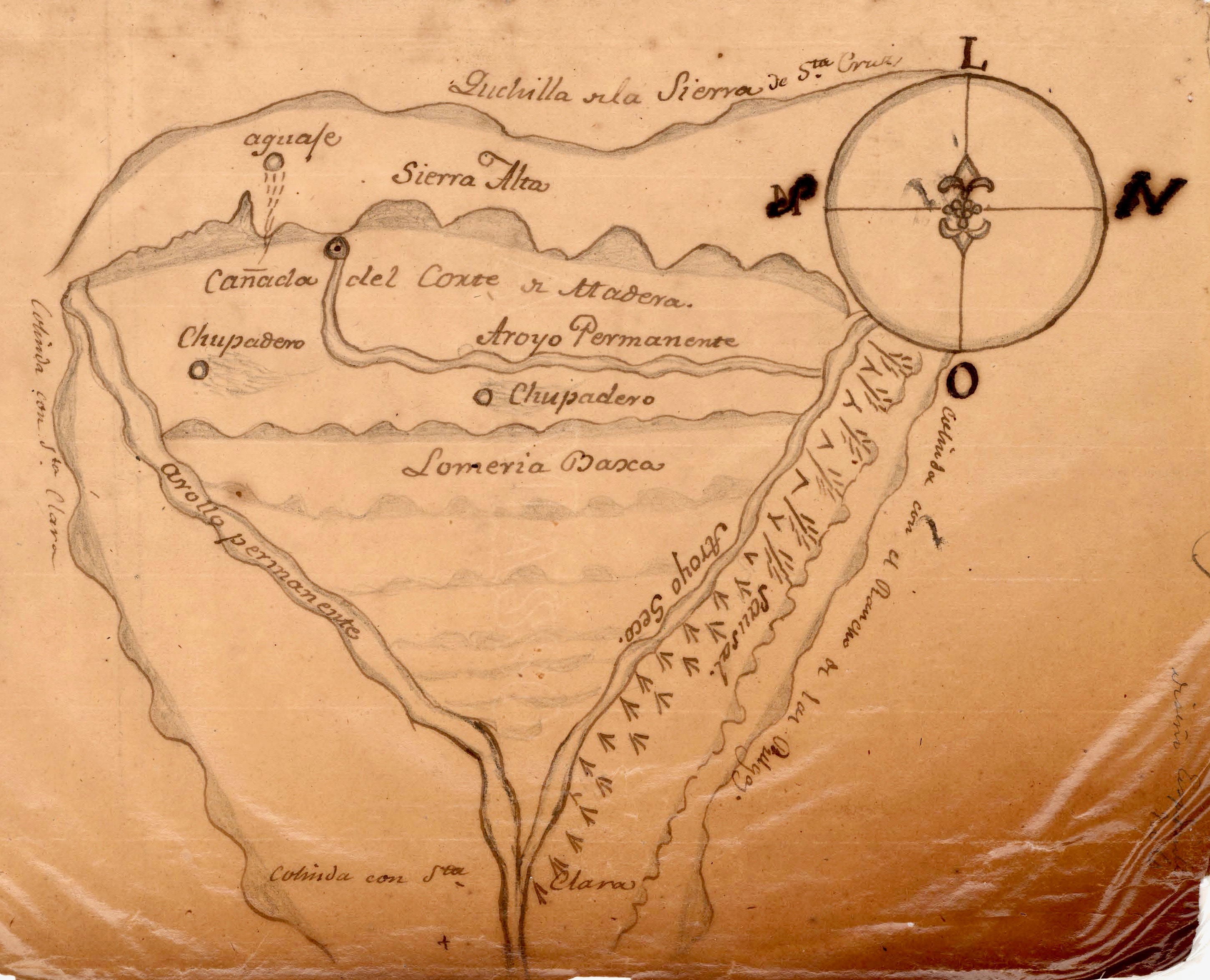
Rancho Canada del Corte de Madera
The name tells you what happened here. Rancho Canada del Corte de Madera -- 'the canyon of the timber cutting' -- was a 3,566-acre Mexican land grant in present-day Santa Clara County, given in 1833 by Governor Jose Figueroa to Jose Domingo Peralta and Maximo Martinez. The name recorded an activity that predated the grant: the cutting of timber from the forested canyons of the Santa Cruz Mountain foothills to build the missions, presidios, and settlements of Spanish and Mexican California. Wood was the essential building material, and these canyons supplied it.
Logging the Mountains
Before the Americans arrived and industrialized the process, Spanish and Mexican Californians cut timber from these hills using hand tools and ox-drawn carts. The timber cutting that gave the rancho its name was a small-scale, labor-intensive enterprise compared to the industrial logging that would follow in the American era. But it was sufficient to clear patches of forest and create the open meadows that later attracted cattle ranchers. The canyon of the timber cutting was a working landscape from its earliest colonial days.
Peralta and Martinez
The grant recipients, Jose Domingo Peralta and Maximo Martinez, were members of the Californio families who formed the governing class of Mexican California. Land grants rewarded political loyalty and military service while extending Mexican sovereignty over territory that had been loosely administered under Spanish rule. The 3,566 acres of Rancho Canada del Corte de Madera represented a modest grant by California standards, but it encompassed productive foothill terrain suitable for grazing and timber.
A Name That Remembers
Today the rancho's territory is divided among suburban communities, open space preserves, and private properties in the foothills between Palo Alto and Woodside. The name Corte de Madera persists in Corte Madera Creek, which flows through the former rancho lands and into San Francisquito Creek. Every time someone refers to the creek or the open space preserve that bears its name, they are unconsciously preserving a record of the timber cutting that shaped these hills two centuries ago.
From the Air
Rancho Canada del Corte de Madera covered approximately 3,566 acres centered around 37.39°N, 122.22°W in the Santa Clara County foothills. The area now includes parts of Portola Valley and Woodside. Nearby airports: Palo Alto (KPAO), San Carlos (KSQL). Best viewed at 3,000-5,000 ft AGL.