Randalls and Wards Islands
The Lenape called the southern island Tekenas -- a word derived from the Munsee Delaware for "the woods" -- though they never settled there. Neither did anyone else for centuries. Randalls and Wards Islands, floating in the turbulent waters where the Harlem River, East River, and Hell Gate converge, spent most of their history as places New York City sent the people it wanted to forget: the sick, the mentally ill, the destitute, the dead. That the islands are today a 530-acre expanse of athletic fields, greenways, and public parkland is one of the quieter transformations in a city that never stops reinventing its geography.
Islands Nobody Wanted
In the seventeenth century, Dutch colonists used the islands for raising livestock -- nothing more. Ownership passed through various European hands between the 1630s and the 1770s, and the two islands took the names of their early-nineteenth-century owners: Jonathan Randel for the northern island, the Ward brothers for the southern one. A third, smaller island called Sunken Meadow lay to the east. The city government took control of both islands in the mid-nineteenth century and built what the mainland did not want to see: hospitals, asylums for the mentally ill, an addiction facility, cemeteries. By the southern tip, a point of land became known as Negro Point, a name that went officially unchallenged until 2001, when Parks Commissioner Henry Stern learned of it and renamed it Scylla Point -- after the mythological sea monster -- because it faces Charybdis Playground across the Hell Gate strait in Astoria Park.
Hell Gate and Little Hell Gate
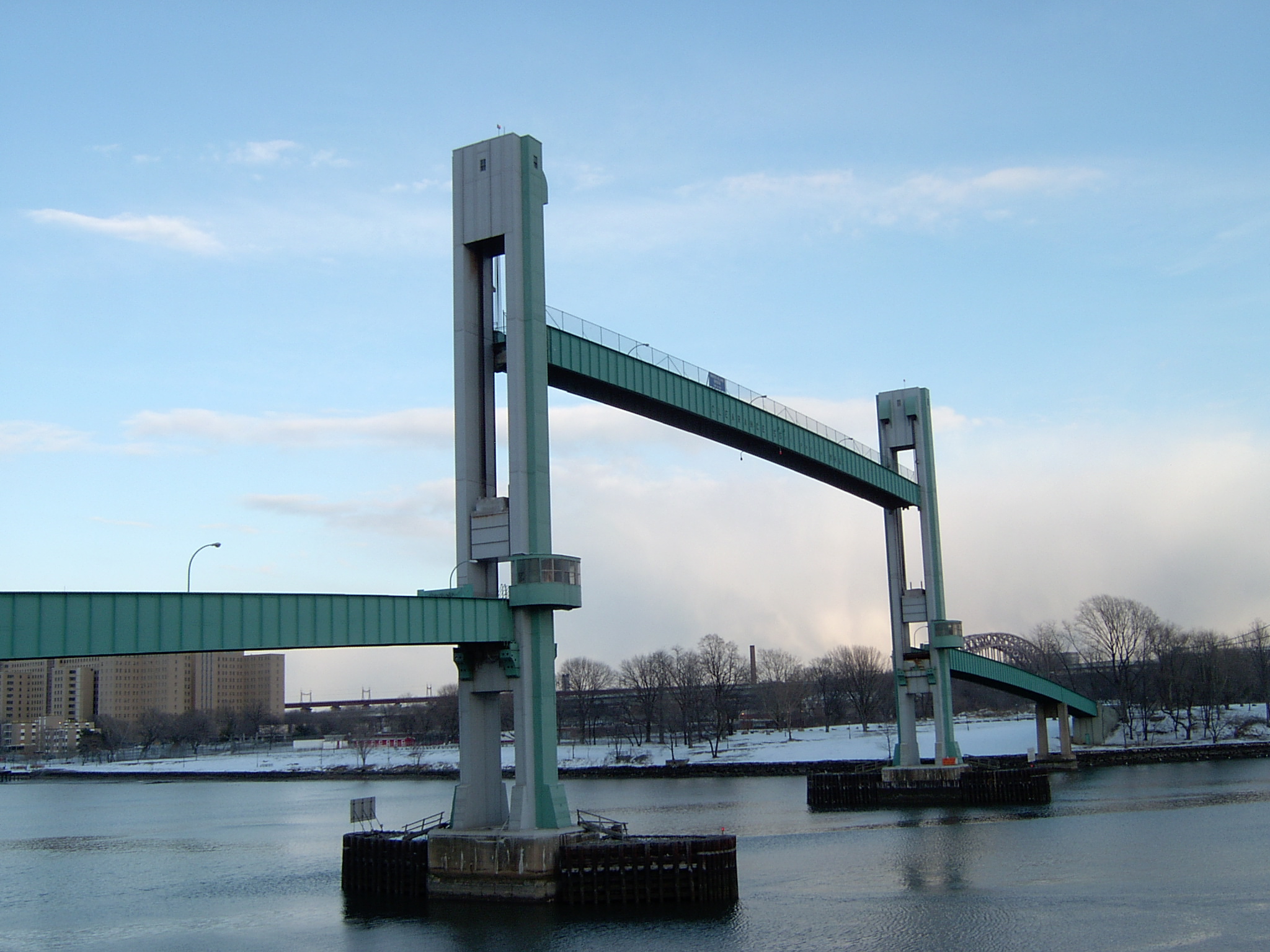
The waters surrounding the islands earned their names honestly. Hell Gate, the narrow tidal strait between Wards Island and Queens, was so treacherous that the Army Corps of Engineers spent decades in the mid-nineteenth century blasting rock outcroppings from the riverbed. Little Hell Gate, the natural channel separating Randalls Island from Wards Island, ran over 1,000 feet wide at the Hell Gate Bridge, with swift currents that made crossing dangerous. The opening of the Triborough Bridge -- now the Robert F. Kennedy Bridge -- in the 1930s changed everything. The bridge's construction spurred the conversion of both islands to parkland, and the city began filling in Little Hell Gate to connect them. By the early 1960s, the channel was gone, and the two islands had become one. Sunken Meadow Island to the east was also absorbed through landfill operations in the mid-1950s, adding 85 acres of ball fields to what became Randalls Island Park.
Robert Moses's Crossroads
The Triborough Bridge did not merely connect the islands to the mainland -- it made them the geographic nexus of the New York metropolitan area, linking Manhattan, the Bronx, and Queens through a single interchange perched on Randalls Island soil. Most of the existing nineteenth-century buildings -- the hospitals, the asylums -- were demolished starting in the 1930s as Robert Moses's park-building machine remade the landscape. Two parks emerged, along with a wastewater treatment plant that still operates today. The island that had warehoused the city's unwanted became a node in its transportation network and, gradually, something approaching a public amenity. A population of 1,648 still lived on the islands as of the 2010 census, mostly in institutional housing.
Athletic Fields and Asylum Ghosts
Today Randalls and Wards Island is parkland dotted with athletic facilities: ball fields, a driving range, greenways, playgrounds, picnic grounds, and the Icahn Stadium track-and-field complex. But the institutional past has not entirely receded. A psychiatric hospital and an addiction treatment facility still operate on the island, along with shelters, a fire training academy, and a police station. The Robert F. Kennedy Bridge roars overhead, carrying traffic between three boroughs. The Hell Gate Bridge, a massive steel arch built in 1916, crosses the island's southern edge -- still one of the strongest bridges in the world, designed to carry four tracks of heavy rail. From the greenways, you can watch tugboats wrestle the East River's tidal currents through Hell Gate, the same waters that once sank ships and inspired the name that stuck. The woods the Lenape described are long gone, but the wildness of the water remains.
From the Air
Randalls and Wards Islands are located at 40.791N, 73.925W in the East River, part of the borough of Manhattan. The combined island is 530 acres and unmistakable from the air -- a large green expanse between the Bronx, Manhattan, and Queens, crossed by the Robert F. Kennedy (Triborough) Bridge and the Hell Gate Bridge. The island's ball fields and Icahn Stadium are visible from altitude. Look for the dramatic convergence of the Harlem River, Bronx Kill, and East River at the island's edges. Nearest airports: LaGuardia (KLGA) 3nm east, Teterboro (KTEB) 10nm northwest. Best viewed at 2,000-3,000 ft AGL on approach to LaGuardia or following the East River.