Ratargul Swamp Forest
For five months of the year, you can only visit Ratargul by boat. The trees are still there, rooted in the same soil they always occupy, but from May through early October the Gowain River overflows its banks and swallows the forest whole. Water rises until only the canopy remains above the surface, and the swamp becomes a flooded labyrinth of trunks and branches where kingfishers flash between submerged boughs and engine boats thread narrow channels beneath a closed green ceiling. This is Ratargul Swamp Forest, Bangladesh's only freshwater swamp forest, a 504-acre ecosystem near Sylhet that the locals call "the Sundarbans of Sylhet" and that transforms so completely between seasons it might as well be two different places.
A Forest That Breathes Water
Ratargul sits within a 3,325-acre wetland in Sylhet District, connected to the Gowain River through a channel called Chengir Khal. During the monsoon, water pours across the border from India, flooding the river and the forest alike. Trees submerge by several feet, and in some places the water rises even higher. The dominant species is Dalbergia reniformis, known locally as the Koroch tree, an evergreen whose tolerance for prolonged submersion makes it the backbone of this ecosystem. Eighty percent of the forest canopy is unbroken, creating a dense umbrella of green even when the ground beneath has vanished underwater. In the dry season, the water recedes to about 10 feet deep in places, exposing mudflats and root systems that spend half the year hidden. The forest emerges like a creature surfacing for air, its character shifting from aquatic to terrestrial.
The Menagerie Below and Above
Ratargul harbors 73 documented plant species and a wildlife population that shifts with the water level. Snakes and worm snakes are abundant year-round in this waterlogged landscape. Mongooses appear during the dry season, when the receding water exposes their hunting grounds. Monkeys and water monitors patrol both seasons. Above, the birdlife is rich and varied: herons, egrets, kingfishers, parrots, bulbuls, doves, waterfowl, eagles, and kites populate the canopy. Winter brings migratory visitors, including cotton pygmy geese and vultures. Beneath the surface, local fish species like Batasio, Rita, Ompok, and Rohu navigate the flooded root systems. The forest functions as a nursery, a hunting ground, and a refuge all at once, its productivity driven by the annual flood pulse that delivers nutrients and redistributes life across its boundaries.
Navigating the Green Labyrinth
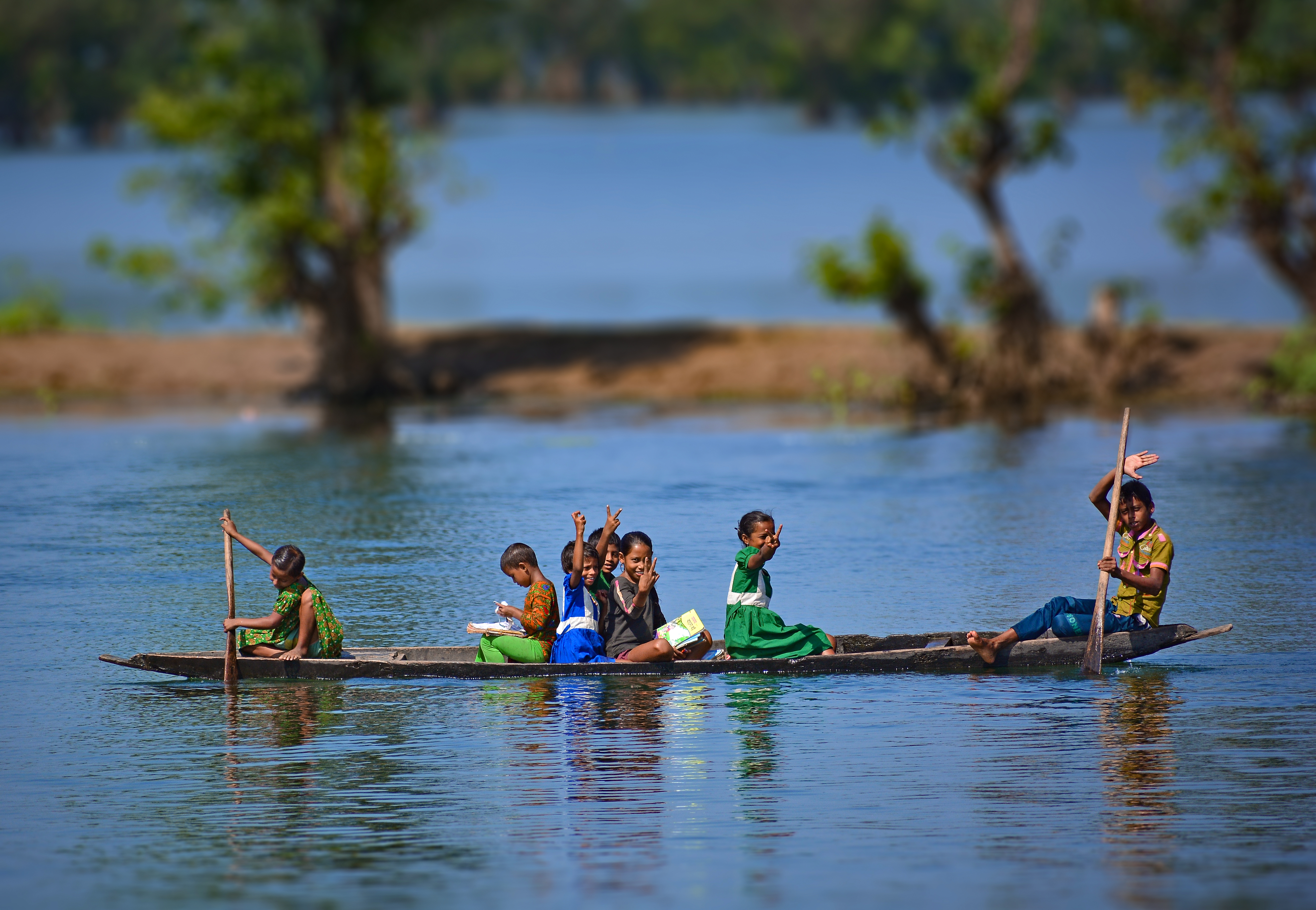
Visiting Ratargul requires a measure of effort that keeps casual tourism at bay. Travelers first reach Gowainghat, about 26 kilometers from Sylhet city, then hire a local engine boat, called a "traller," for the journey into the forest. Permission from the forest office is required. During monsoon season, when the forest is at its most spectacular, the boat becomes both transport and viewing platform, gliding beneath the submerged canopy at water level. A watchtower inside the forest offers an overhead perspective, a vantage point from which the entire green expanse stretches toward the haors, the wetland lakes of Shimul Bil and Neoa Bil, that border the forest's southern edge. The experience is intimate and disorienting in equal measure: navigating through trees that should have ground beneath them, watching fish swim past trunks where birds usually perch.
The Climate That Feeds It
Ratargul owes its existence to Sylhet's punishing rainfall. Tropical air masses from the northwest dump an average of 4,162 millimeters of rain annually, with July alone accounting for roughly 1,250 millimeters. Humidity exceeds 90 percent in July and August. The wet season runs from May to early October, during which average temperatures reach 32 degrees Celsius. In January, the coolest month, temperatures drop to around 12 degrees. This cycle of deluge and drought gives Ratargul its dual personality. The 504-acre core was declared an animal sanctuary in 1973, a recognition that the forest's ecological value extends far beyond its role as a tourist destination. It is a functioning floodplain ecosystem, one of the few remaining in Bangladesh, performing the work of water filtration, flood buffering, and habitat provision that wetlands do everywhere they are allowed to survive.
From the Air
Located at 25.02N, 91.93E in Gowainghat Upazila, Sylhet District, northeastern Bangladesh, approximately 26 km from Sylhet city. From 2,000-4,000 ft AGL, the swamp forest appears as a dense green patch within the broader wetland landscape, distinctly darker than surrounding agricultural land, especially during monsoon season when it is flooded. Nearest airport is Osmani International Airport (VGSY) in Sylhet, about 30 km southwest. Two haors (wetland lakes) are visible to the south: Shimul Bil Haor and Neoa Bil Haor. Best viewed during monsoon (June-September) when the flooded forest is most visually distinct.