Rincon (surfspot)
When Fray Juan Crespi arrived here with the Portola expedition on August 16, 1769, the native people at the mouth of what is now called Rincon Creek brought the Spanish explorers roasted fish. The location had clearly been inhabited and generously provisioned for a long time. Crespi's expedition was among the first Europeans to pass this way; surfers would not discover what the Chumash already knew about this particular angle of coastline for nearly two more centuries.
The Corner
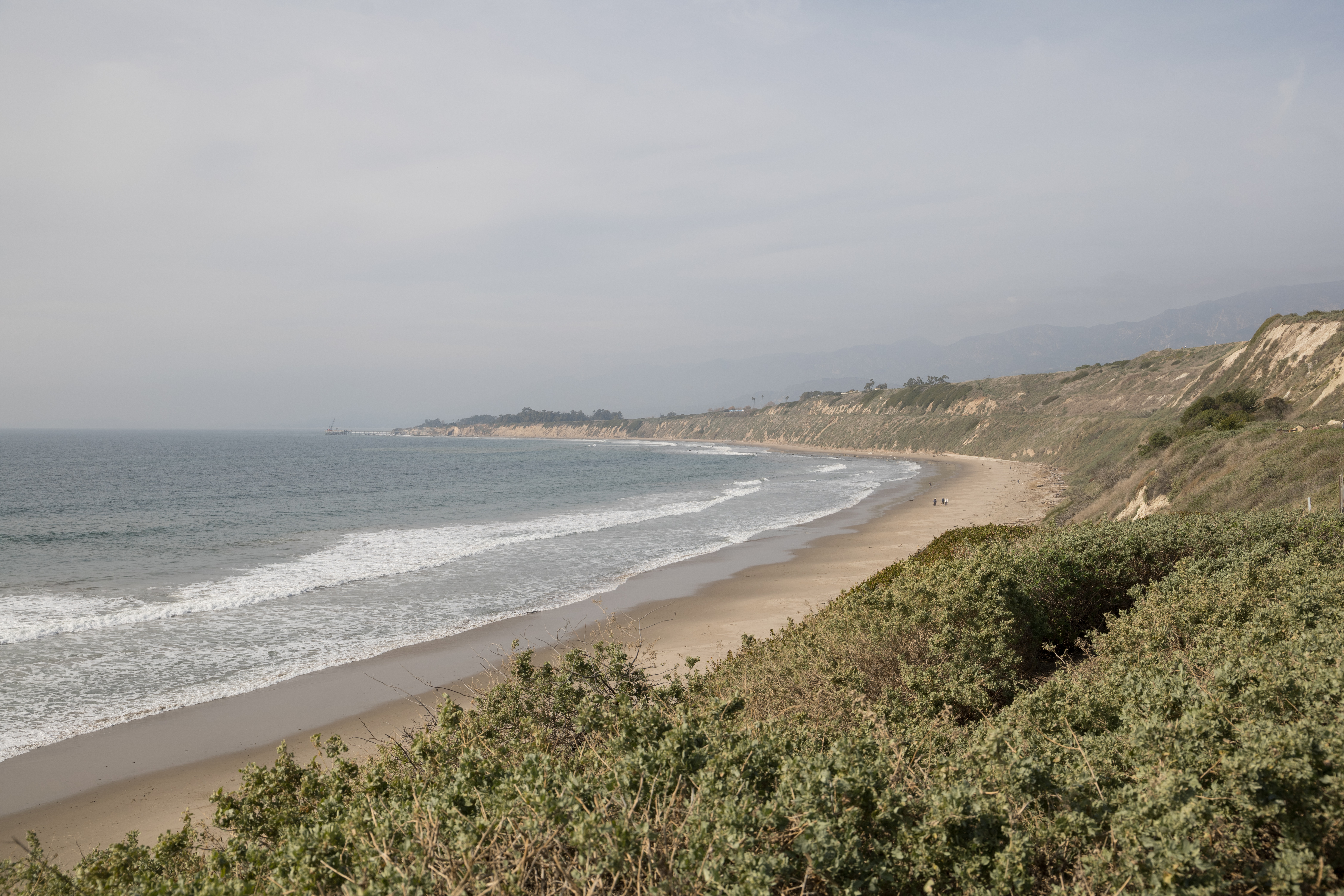
Rincon is Spanish for 'corner' or 'angle,' which describes the geometry exactly. A point juts into the Pacific at the Santa Barbara–Ventura county line, creating a right-breaking wave that peels across three distinct sections: Indicator at the top of the point, Rivermouth in the middle, and the Cove closest to Highway 101 and the freeway. In a large westerly swell, all three sections connect into a single, long rideable wave. The book 100 Best Surf Spots in the World rates Rincon at number 24. In the surf world, it is known as the Queen of the Coast.
Anatomy of a Wave
Each section of Rincon has its own character. The Cove is the most sheltered and most consistent, closest to the highway, and the section that performs best at low tide. Rivermouth is the fastest section, reaching from the mouth of Rincon Creek to a large white stone house that serves as a visual landmark; tube rides happen here at low tide. Indicator is the top of the point, visually blocked from the freeway, and produces fast left-breaking waves in summer when southerly swells arrive. Winter is the prime season — low tides and northwest swells create the long rides Rincon is known for. The quality draws surfers from around the world, which means it is also frequently crowded.
A Long Human History
The 1775 expedition led by Juan Bautista de Anza also stopped here, referring to the native village at the creek mouth as 'La Rinconada.' By 1835, the land had been granted as Rancho El Rincon — 4,460 acres extending along the coast on both sides of the county line, encompassing Rincon Point, the state beach, and the village now called La Conchita to the south. The area passed through Mexican and then American hands as California changed flags. Today, a gated residential community occupies most of the Rincon beachfront, with public parking on both sides and restrooms at the upper lot, Rincon Beach Park.
The Queen's Annual Tournament
Every January, Rincon hosts the Rincon Classic surf championship — though 'January' is approximate, since the contest waits for conditions rather than following a fixed date. Divisions range from Legends (55 and older) to Gremlins (under 12). The professional division draws local competitors including World Surf League competitor Conner Coffin, who participates regularly. The contest is open to the public, with locals from Ventura and Santa Barbara counties given registration priority. Local restaurants provide food for competitors and spectators. It is the kind of event that belongs to the place — informal, seasonal, defined by whether the waves cooperate.
From the Air
Rincon Point sits at approximately 34.38°N, 119.48°W, directly on the Santa Barbara–Ventura county line where Highway 101 runs along the coast. From the air, the point is clearly visible as a slight headland at the western edge of the Rincon Parkway. Nearest airports: Santa Barbara Airport (SBA) about 12 miles northwest, Oxnard (OXR) about 18 miles southeast.