Rio Ouro Preto Extractive Reserve
The houses stand on stilts because the river insists. Every rainy season, the Ouro Preto spills over its banks and floods the surrounding forest with dark water stained by suspended organic matter. When the waters recede between September and October, the river turns greenish and shrinks between its banks, and the rubber tappers walk their forest trails again, scoring the bark of Hevea trees and collecting the milky latex in tin cups. This is the rhythm of the Rio Ouro Preto Extractive Reserve -- 204,631 hectares of Amazonian forest in Rondonia, Brazil, where roughly 500 people live by a bargain struck between a murdered activist's vision and the oldest economy in the Amazon.
What Chico Mendes Built
On January 30, 1990 -- just over a year after rubber tapper and union leader Chico Mendes was shot dead on the doorstep of his home in Xapuri, Acre -- Brazilian President Jose Sarney signed a decree creating the first four extractive reserves in the Amazon. The concept was radical in its simplicity: instead of evicting forest communities to create pristine parks, or abandoning the forest to ranchers and loggers, the government would protect both the people and the trees by granting traditional populations the right to live in the forest and harvest its products sustainably. Rio Ouro Preto, created by decree 99.166 on March 13, 1990, was one of those original four reserves, alongside the Chico Mendes and Alto Jurua reserves in Acre and the Cajari River reserve in Amapa. The idea that Mendes died for -- that the forest could be worth more standing than cleared -- became federal policy in the weeks following his assassination.
Between Two Ridges
The reserve occupies the basin of the Ouro Preto River between two parallel east-west ranges of hills, extending westward to where the Ouro Preto joins the Pacaas Novos River. It straddles the municipalities of Guajara-Mirim, which contains nearly three-quarters of the reserve, and Nova Mamore. Altitudes range from 147 meters above sea level along the river bottoms to the hilltops that frame the valley. The BR-421 highway enters the northern edge of the reserve from the border town of Guajara-Mirim, but roads are secondary to rivers here. The reserve forms part of the largest contiguous block of protected land in Rondonia, serving as a buffer between the cleared cattle ranches to the east and the strictly protected forests to the west and south, including the Guajara-Mirim State Park to the north and the Rio Ouro Preto Biological Reserve in the hills to the south.
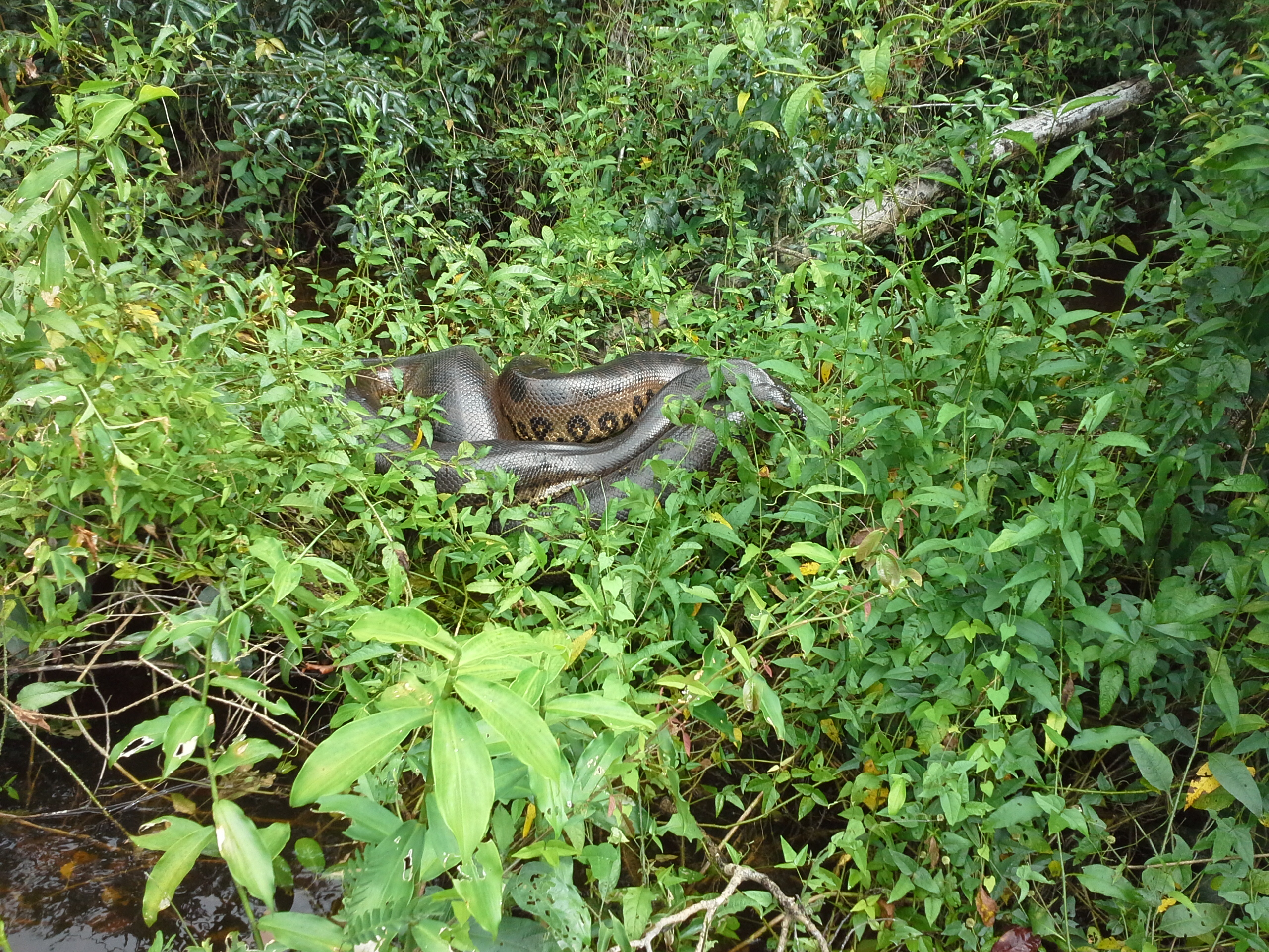
A Forest of Black Earth and Bird Song
Average annual rainfall reaches 2,200 millimeters, and the Ouro Preto's water levels swing by more than three meters between the dry season lows and the March peaks. The vegetation shifts from open forest to palm-studded canopy to flooded gallery forest along the riverbanks, with patches of open arboreal savanna on higher ground. Most of the soils are thin and acidic, poor for farming -- except for scattered patches of rich black earth, the terra preta created centuries ago by pre-colonial indigenous farmers who composted charcoal, bone, and organic waste into soil so fertile it still outperforms everything around it. The reserve holds the greatest number of bird species in the state of Rondonia. Among the trees, the most economically valuable include the itauba, macaranduba, copaiba, and the towering castanheira -- the Brazil nut tree whose heavy, coconut-sized seed pods crash to the forest floor between December and February.
Rubber Paths and Rainy Season Wages
Life in the reserve follows two calendars. In the dry months from July to December, families work their rubber paths, tapping the Hevea brasiliensis and Hevea benthamiana trees and processing the raw latex into sheets. Rubber extraction accounts for roughly half the monthly income of each household. Brazil nut harvesting overlaps with the start of the wet season, from December through February. On the scarce patches of unflooded ground near the rubber allotments, families plant maize, rice, and beans. Some maintain a winter residence separate from their rubber paths, moving between forest work and garden tending as the seasons dictate. Others migrate to Guajara-Mirim for temporary wage work when the floods make forest extraction impossible. The walls and floors of their stilt houses are made from paxiuba palms, the roofs thatched. In December 2010, the Association of Rubber Tappers and Agro-Extractivists was formally recognized as the managing body of the reserve, giving the people who live here legal authority over the land they have worked for generations.
From the Air
Located at 10.76S, 64.70W in western Rondonia, Brazil, near the Bolivian border. The reserve covers 204,631 hectares of Amazonian forest along the Ouro Preto River valley, visible as a continuous band of green between two parallel hill ranges. The BR-421 highway enters from the north, and the town of Guajara-Mirim sits on the Mamore River to the west. Nearest airport: Guajara-Mirim Airport (SBGM). The contrast between the intact forest of the reserve and the cleared pastureland to the east is dramatic from altitude. Best viewed at 5,000-15,000 feet AGL to appreciate the river meanders and the boundary between protected and deforested land. The Ouro Preto River's dark water is visible through breaks in the canopy during the wet season.