Rokkō Island
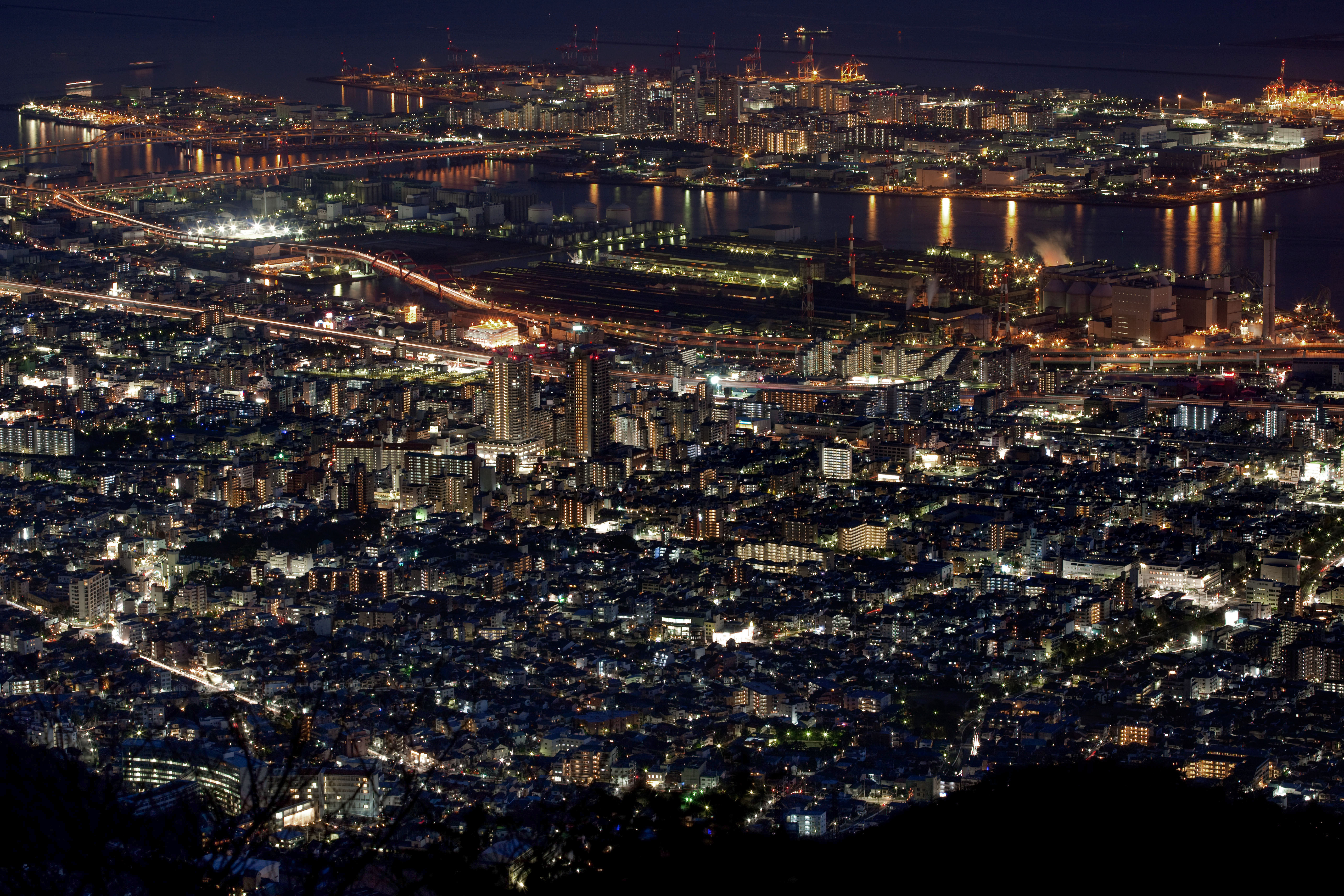
Somewhere beneath the apartment blocks, the container cranes, and the artificial river that runs through the center of Rokko Island, there are mountaintops. Not metaphorical ones. Workers spent nearly two decades -- from 1973 to 1992 -- shaving rock and earth from the wooded peaks northwest of Kobe, loading it onto a ten-mile underground conveyor belt, transferring it to barges, and dumping it two miles out into Osaka Bay. The result is a rectangular artificial island covering roughly 580 hectares in the harbor of one of Japan's most geographically constrained cities. Kobe is squeezed into a narrow coastal strip between the sea and the steep Rokko mountain range, and by the mid-twentieth century it had simply run out of room. The solution was not to build up but to build out, manufacturing new land from the old mountains that hemmed the city in.
A City Runs Out of Ground
Japan's geography poses a recurring problem for its urban planners: dense forests and steep mountains cover the majority of the country's land area, leaving a fraction suitable for development. Kobe faces an extreme version of this challenge. The city stretches long and thin along the coast, with the Rokko Mountains rising sharply to the north and the harbor to the south. By the 1960s, Kobe's growing population and expanding port operations had consumed nearly every available plot of flat land. The city had already reclaimed coastal shallows, but the demand for space -- for housing, industry, and ever more container berths -- outstripped what modest infill could provide. Kobe's planners looked at the mountains behind them and the empty bay before them and devised a plan that was equal parts audacious and literal: move the mountains into the sea.
Twenty Years on the Conveyor
Construction began in 1973. Crews excavated rock and soil from heavily wooded mountains northwest of the city, reshaping hillsides in the process. A ten-mile underground conveyor belt -- an engineering feat in itself -- shuttled the excavated material down to the coast, where it was loaded onto barges. The barges carried their cargo two miles offshore and dumped it into the bay, gradually building up a submerged foundation that would be compacted, capped, and shaped into usable land. The process took almost twenty years to complete. Rokko Island was not Kobe's first experiment in island-building. Port Island, located nearby, had been completed in 1987 using similar techniques. And the tradition reaches much further back: in 1173, the warlord Taira no Kiyomori built an island called Kyogashima in the same waters during the Heian period, proving that the impulse to extend Kobe's coastline is nearly a millennium old.
Life on Manufactured Ground
Rokko Island was designed as a self-contained community, and in many ways it functions as one. A green belt separates the residential core from the industrial port zones and container terminals on the island's perimeter. The Rokko Liner, an automated guideway transit system, runs on an elevated viaduct through the island's central axis, stopping at Marine Park, Island Center, and Island Kita-Guchi stations before connecting to the mainland at Uozaki and Sumiyoshi on the JR Kobe Line. International schools serve students from the foreign community that grew around Procter and Gamble's former Asia headquarters. Two museums add cultural weight: the Kobe City Koiso Memorial Museum of Art commemorates the botanical artist Ryohei Koiso, while the Kobe Fashion Museum traces the history of clothing and textile design. An artificial river called the River Mall runs roughly one kilometer through the island's center, serving as a wading pool for children in summer and a gathering spine year-round.
Island at the Crossroads
Rokko Island operates as a transit hub connecting Kobe to the wider Kansai region and beyond. The Harbor Highway toll road links the island to Sannomiya, Kobe's central district, and to neighboring Port Island. The Hanshin Expressway Route 5 runs east to Osaka. Ferries from Hankyu Ferry and Ferry Sunflower depart daily for Kyushu and Shikoku, while limousine buses connect the Kobe Bay Sheraton Hotel to Kansai International Airport. The Kobe-Osaka International Port Corporation manages container terminals, liner berths, and ferry terminals from the island. The chocolatier Morozoff Ltd. maintains a manufacturing presence here. Community life orbits around seasonal events -- a farmers market, Christmas caroling, and the annual Rokko Island Halloween and Harvest Festival, which draws families from across Kobe for costume parades, pumpkin carving, and trick-or-treating on streets that, a few decades ago, were nothing but open water.
From the Air
Located at 34.68N, 135.27E in Osaka Bay, Rokko Island is clearly visible from altitude as a distinct rectangular landmass southeast of the Kobe waterfront. It sits east of Port Island and northeast of the Kobe Airport island (RJBE), making the three artificial islands a striking cluster when viewed from above. The Rokko Liner elevated guideway is visible as a line running through the island's center connecting to the mainland. Kobe Airport (RJBE) is approximately 4 km to the southwest. Kansai International Airport (RJBB) is roughly 45 km to the southwest. Osaka Itami Airport (RJOO) is approximately 20 km to the northeast. The Rokko mountain range provides a dramatic backdrop to the north, and the contrast between the geometric artificial islands and the mountainous coastline makes this area immediately recognizable from cruising altitude.