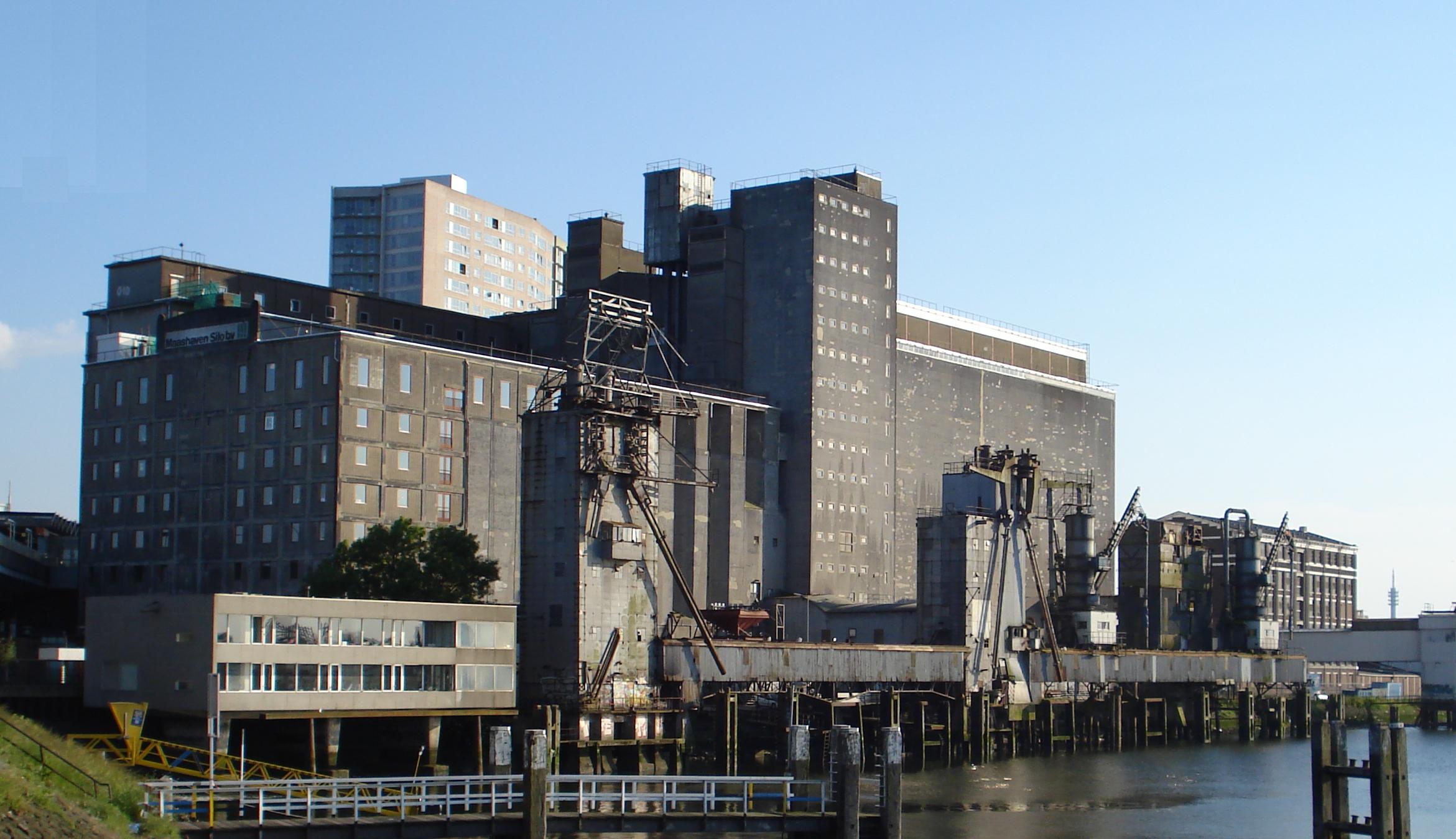
Rotterdam Feijenoord
In 1849, a thirty-year-old artillery lieutenant named Thomas Joannes Stieltjes refused to swear an oath of allegiance to the new Dutch king. He offered instead to swear allegiance to the year-old constitution. The army did not accept the substitution, and Stieltjes was dishonourably discharged. He had no engineering degree - he had taught himself - but the Rotterdamsche Handelsvereeniging hired him anyway as technical advisor, and within twenty years the self-taught soldier-engineer had transformed a soggy island in the New Meuse into the spine of Rotterdam's port. Feijenoord, the district he reshaped, still wears his harbors like a string of rectangles cut from the south bank: Koningshaven, Binnenhaven, Spoorweghaven, Rijnhaven, Maashaven. The cranes are gone. The water remains.
The Island Outside the Dikes
Before Stieltjes, before the cranes, Feijenoord was known simply as Noord - North - though the name is thought to be a corruption of Den Oord, meaning the land outside the dikes' protection. It was the closest scrap of dry ground to Rotterdam that the city itself did not want. The pest house went here, where plague victims could be isolated from the burghers across the water. The gallows field went here, where the city's executions could be carried out at a respectful remove. For centuries it was a half-drowned slip of land where Rotterdam exiled the things it preferred not to see. Then the trade association looked at a map, looked at the deep water of the New Meuse, and decided this was exactly where a modern port belonged.
The Doorway to America
Stand on the Rijnhaven's north quay today and you stand at one of the great departure points of the modern world. The Holland-America Line - Holland-Amerika Lijn - sent its first ship from this exact spot in October 1872, with the company formally incorporated the following April. For nearly a century, until 1971, the steamships of the line carried European emigrants to New York from these very wharves: Dutch farmers, Polish Jews fleeing pogroms, Italian laborers, German families. The line's redbrick headquarters still stands on the Wilhelminakade, now reborn as Hotel New York. The lobby keeps the original first-class ticket counter. You can drink coffee at a window that watched a million goodbyes. Across the basin, the towers of De Rotterdam and the New Orleans rise above what used to be open water - the inland ships moved out to Maashaven in 2015, and the warehouses came down to make room for skyscrapers that quote the Manhattan skyline their grandparents sailed toward.
The Hef
South of the hotel, spanning the Koningshaven between Feijenoord and the small island of Noordereiland, two black-painted steel towers rise from the water. This is De Hef - the Lift - a railway lifting bridge built between 1925 and 1927 that hoisted an entire span of track straight up into the sky to let masted ships pass beneath. The trains stopped running across it in 1993, when the Willemspoortunnel diverted rail traffic underneath the river. The city scheduled De Hef for demolition; the citizens of Rotterdam refused. The bridge now stands as a frozen monument, raised permanently in its open position, its two towers leaning toward each other across the empty air like old friends who can no longer hear each other speak. It became a national heritage site in 2000. In 2022 the city briefly considered dismantling part of it to let an enormous yacht pass through; the public outcry was loud enough to be heard in the boardroom that had floated the idea.
Stadium of the South
Further south, past the residential blocks of the old Spoorweghaven that have replaced the cargo cranes, sits the temple of Rotterdam's working-class identity: De Kuip, literally The Tub, official home of Feyenoord since 1937. The club spells its name with a y because old Dutch did. The district spells itself with ij because modern Dutch does. The same word, two centuries of orthographic drift. On match days the entire Feijenoord district reorients itself around the stadium - extra tram lines materialize, the metro runs longer trains, the bars along Beijerlandselaan fill with red-and-white scarves at noon. Other Dutch cities have football clubs. In Rotterdam, the club is what the harbor used to be: the thing that makes the south bank itself.
Hillestraat and the New Mouths
Walk the eating streets and you can read the demographic history of southern Rotterdam in the menus. Hillestraat carries the cuisines of Afghanistan and West Africa beside straightforward barbecue counters. Paul Krugerweg and Pretorialaan, named for figures of the South African Boer wars in the era when Dutch sympathies ran south, now serve South African-inspired chicken alongside takeaway counters opened by more recent arrivals. The Groene Hilledijk-Beijerlandselaan corridor stretches for nearly a kilometer of Surinamese, Caribbean, Turkish and Moroccan restaurants between the standard fast-food chains. These are the neighborhoods the dock workers left behind when the work moved downstream to the Maasvlakte, and the neighborhoods the next century of Rotterdammers moved into. The harbors closed. The city went on arriving.
From the Air
Feijenoord centers at 51.90 N, 4.50 E, on the south bank of the Nieuwe Maas directly opposite Rotterdam Centrum. The Erasmusbrug and the older Willemsbrug rail bridge are the easiest visual anchors. The Hef rail-lift bridge still stands raised over the Koningshaven, with its two black towers visible against the river. De Kuip stadium sits at the southern edge of the district, an oval bowl visible from above. Rotterdam The Hague Airport (EHRD) is about 8 km north-northwest. Lower altitudes risk traffic from helicopters serving the port and offshore platforms. Persistent low cloud is common October through February.