Rotterdam Metro
The first metro train in the history of the Netherlands rolled out of Rotterdam Centraal on 9 February 1968 and disappeared into a tunnel beneath the Nieuwe Maas. The line was 5.9 kilometers long. At the time, it was one of the shortest metro systems in the world - a single thread from Centraal Station to Zuidplein on the south bank, with five stops in between and not a single branch. A Belgian newspaper called it cute. A British observer wondered why anyone bothered. Fifty-seven years later, the cute little line is one limb of a five-line network that runs from the surf of Hoek van Holland through the city centre, under the river, and all the way north to The Hague Centraal - roughly seventy-five kilometers of track operated by an organization, RET, whose name still stands for Rotterdamse Elektrische Tram.
Erasmus and Caland
From the late 1990s the lines briefly carried names instead of letters. The north-south route was the Erasmuslijn, after Desiderius Erasmus, the Rotterdam-born humanist whose statue still stands near the Sint-Laurenskerk. The east-west route was the Calandlijn, after Pieter Caland, the nineteenth-century engineer who cut the Nieuwe Waterweg - the artificial sea channel that made the modern Port of Rotterdam possible. The names were dignified, accurate and historically apt. In December 2009, RET dropped them. Branches had multiplied; passengers were getting confused about which Calandlijn train went where. The system reverted to letters A through E and colored circles, the elegant Erasmus-and-Caland branding quietly retired to museum displays. Efficiency won. The humanists kept their statues.
The Sneltram Border
Watch a Bombardier Flexity Swift roll into Capelsebrug station on the eastern edge of the city and you can see a piece of engineering happen in real time. The train enters the station as a metro running on a third rail, and leaves it as a light rail vehicle drawing power from an overhead wire. The pantograph rises while the train is in motion. The driver does nothing - the system is automatic, triggered by trackside sensors. Locals call these outer sections sneltram, fast tram, because they include several protected level crossings at street level where the train rolls through with priority, like a tram. The trains designed for both modes carry turn signals. It is the only metro system in the world where you might find yourself signaling a right turn at an intersection.
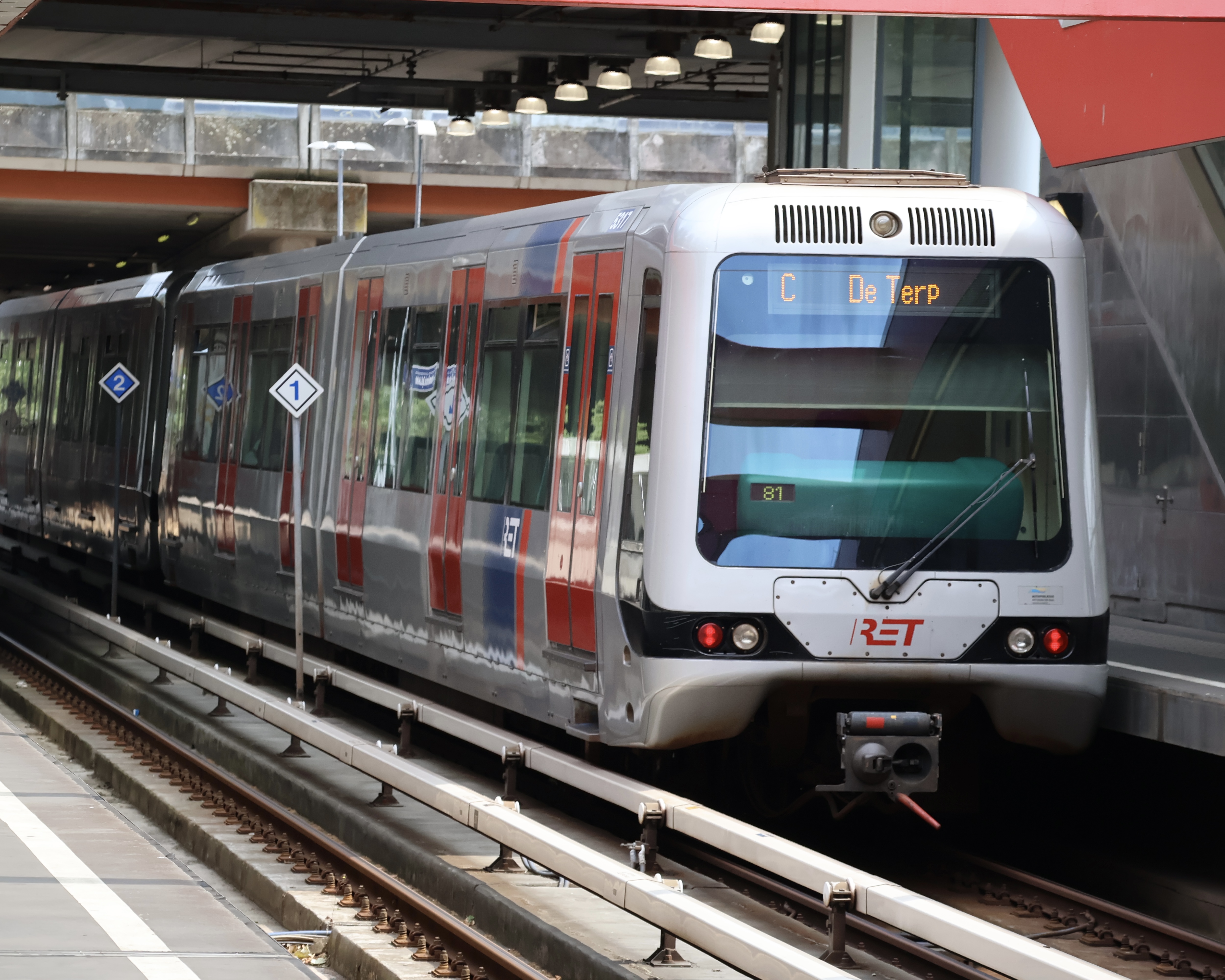
The Yellow Rail
Look down at the track in any underground station and you will see something unusual: the third rail is bright yellow, not the bare gray steel of the New York or London systems. The yellow material is a thick electrical insulator. The live current - 750 volts DC - travels along a thinner metal strip on the underside of the rail, where contact shoes on the train slide along it from below. This bottom-contact design is rare. Most metros run their third rail open on top, which is faster to build but dangerous for fallen passengers and vulnerable to autumn leaves and ice. Rotterdam chose the safer arrangement in 1968 and has stuck with it ever since. Contact shoes mount on both sides of each car, with sufficient overlap that no train can be left stranded - a gapped train, in the jargon - between rails. Small engineering, but the kind that gets you home in a snowstorm.
To the Beach, By Metro
On 30 September 2019, Line B rolled out of Schiedam Centrum and continued west along the old Schiedam to Hoek van Holland railway line, which RET had spent years converting. For the first time, a single ticket would carry a passenger from a city-centre platform deep underground to the North Sea coast. Three and a half years later, in March 2023, the extension reached Hoek van Holland Strand - the beach itself, with the surf visible from the station platform. The trip from Rotterdam Blaak takes about forty-five minutes. The ferries to Harwich, England leave from the same Hoek van Holland station. It is now possible to walk off a Stena Line overnight crossing from the United Kingdom and step directly onto a metro train heading for the heart of Rotterdam, a transition no other Dutch port can offer.
RandstadRail to The Hague
The most ambitious line on the system, Line E, is technically not even a metro - it is the conversion of an old commuter railway, the Hofpleinlijn, into a hybrid metro and light rail system the Dutch market under the name RandstadRail. North of Rotterdam Centraal the trains emerge from a tunnel near Blijdorp, climb to elevated track through the suburbs, and run on the surface all the way to The Hague Centraal, where the line shares tracks for part of the route with light-rail vehicles from The Hague's own tram network. The full Slinge-to-Den Haag run is forty-eight kilometers and crosses three transit authorities. Future plans involve a new tunnel under the river to Feijenoord, automation to ninety-second headways, and the long-discussed but never-funded conversion of the Rotterdam-Dordrecht heavy rail line into metro service. The cute little 5.9-kilometer line from 1968 is no longer cute and no longer little. It is, at last, what its planners always quietly hoped it might become.
From the Air
Rotterdam Metro centers on the city at roughly 51.92 N, 4.48 E, but the network sprawls from Hoek van Holland on the North Sea coast (51.98 N, 4.12 E) east to Nesselande (51.97 N, 4.55 E) and north to Den Haag Centraal (52.08 N, 4.32 E). Most of the city-centre track is underground; the visible elevated sections include the Beneluxtunnel cross-river segment and the long viaduct of Line E north of Rotterdam Centraal. RET maintenance depots sit at Waalhaven (south bank) and Hilledijk. Rotterdam The Hague Airport (EHRD) is connected to Meijersplein station on Line E via bus 33.