Routeburn Track
The two trailheads are 32 km apart on foot and 350 km apart by road. That single fact captures everything about the Routeburn Track: it crosses a mountain range so massive that vehicles must drive an entire day around it, while walkers simply go over the top in two to three days. The track follows routes that Maori used for centuries to traverse the Southern Alps, connecting what are now Mount Aspiring and Fiordland National Parks. It climbs from lowland beech forest at 200 metres to the Harris Saddle at 1,255 metres, and on a clear day at the summit, the 360-degree panorama extends across glacier-carved valleys to the Tasman Sea. Most walkers leave their packs in the emergency shelter and just stand there, turning slowly, trying to take it all in.
A Walk Between Two Worlds
The Routeburn is not a loop. You start in one national park and finish in another, which creates a logistical puzzle that is part of the track's character. Beginning at the Routeburn Shelter near Glenorchy, walkers enter Mount Aspiring National Park and climb through dense silver beech forest. On the other side, the track descends into Fiordland National Park, ending at The Divide on the Te Anau-Milford road. The two parks meet at the Harris Saddle, the track's high point, where the vegetation abruptly shifts from sheltered forest to exposed alpine tussock. For approximately 10 km, the trail crosses open ridgeline above the treeline - stunning in good weather, dangerous in bad. Snow can close this section even in summer, and the Department of Conservation monitors conditions daily during the October-to-April peak season. The exposed stretch is also where you are most likely to meet kea, the world's only alpine parrot, whose intelligence and curiosity make them both a highlight and a hazard.
The Kea Problem
Kea are magnificent birds - olive-green with flashes of orange under their wings, heavy beaked, and startlingly smart. They are also relentless vandals. At Harris Saddle and along the alpine sections of the Routeburn, kea work in coordinated teams: one bird distracts a tramper while others unzip packs, shred rain jackets, and dismantle boots left outside overnight. They can peel rubber seals from car windows and have been observed sliding down corrugated iron roofs for apparent amusement. The Department of Conservation warns walkers never to leave gear unattended and never to feed the birds. Kea are a threatened species - fewer than 7,000 remain in the wild - and human food disrupts their diet. The irony is that their charisma makes people want to interact with them, which is exactly what puts them at risk. On the Routeburn, respecting the kea means keeping your distance, securing your pack inside an emergency shelter during side trips, and accepting that any boots left outside are fair game.
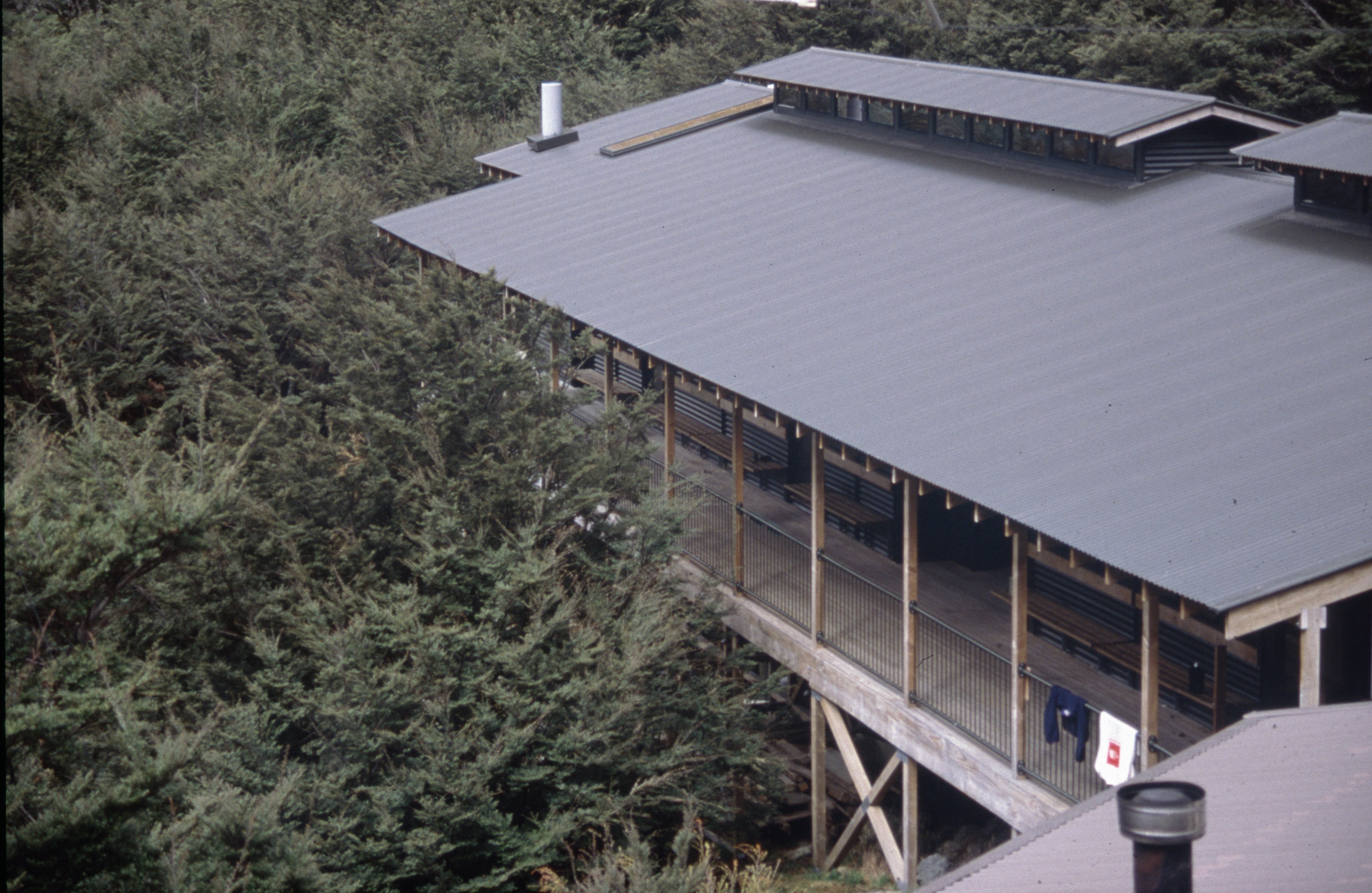
Rain, Sandflies, and Preparation
Fiordland receives rain nine to eighteen days per month, depending on the season. That statistic is worth repeating because it shapes every decision on the Routeburn. You carry wet-weather gear not as a precaution but as essential equipment, alongside a dry set of clothes sealed in a waterproof bag for the evenings. Summer highs can reach 29 degrees Celsius, but overnight temperatures frequently drop below freezing even in peak months. The huts along the track provide mattresses and gas cookers during peak season, but no heating, no linens, and no showers. Earplugs are advised for the bunkrooms. And then there are the sandflies - tiny biting insects that swarm at lower elevations and near water, impervious to most repellents. They are Fiordland's unofficial welcoming committee, present on every track, tolerated by every tramper, and cursed with equal enthusiasm by beginners and veterans alike.
Earning the View
What the Routeburn delivers, in exchange for its weather and its logistics and its biting insects, is a landscape that shifts dramatically with every hour of walking. The beech forest of the lower valleys gives way to subalpine scrub, then to tussock grasslands, then to bare rock and snow. Waterfalls appear around corners - not one or two but dozens, fed by the constant rain that makes the track challenging and the scenery possible. From Harris Saddle, a side trip to Conical Hill adds an hour and rewards walkers with views down into the Hollyford Valley and out to Martins Bay on the Tasman Sea coast. The track can be walked in either direction, and each way offers a different experience: starting from Glenorchy means the alpine section comes as a climax on day two, while starting from The Divide means you begin with the exposed ridgeline and descend into increasingly sheltered forest. Either way, the mountain range you crossed in three days will take you most of a day to drive around.
From the Air
The Routeburn Track runs 32 km between the Routeburn Shelter near Glenorchy (44.73S, 168.34E) and The Divide on the Te Anau-Milford highway (44.96S, 168.04E), crossing the Southern Alps between Mount Aspiring and Fiordland National Parks. From altitude, the Harris Saddle (1,255 m) is visible as a notch in the ridgeline separating the Routeburn and Hollyford valleys. Key landmarks include the Routeburn Falls (a stepped cascade below the Routeburn Falls Hut), Lake Harris, and the Hollyford Valley to the northwest. Nearby airports include Queenstown (NZQN, 67 km by road from the Glenorchy trailhead), Te Anau (NZTZ), and Milford Sound (NZMF). The Darran Mountains to the west exceed 2,000 m. Weather is extremely changeable with frequent rain and cloud.