Royal Charter (ship)
The sea off Anglesey's northeast coast keeps its treasures close. Gold sovereigns still wash from the sand near Dulas Bay, loosened by winter storms from the wreck of the Royal Charter, a steam clipper that broke apart here on 26 October 1859. About 450 passengers and crew died that night, many of them Australian gold rush prospectors heading home to Liverpool with their fortunes sewn into belts and waistcoats. The weight of that gold dragged them under as they tried to swim for shore.
The Pride of the Dee
Built at the Sandycroft Ironworks on the River Dee and launched in 1855, the Royal Charter represented a new breed of vessel: a 2,719-ton iron-hulled steam clipper that married the grace of a sailing ship with the reliability of coal-fired engines. Three clipper masts and a single funnel gave her a distinctive silhouette. On her maiden voyage from Liverpool to Melbourne, she completed the passage in 52 days, beating the previous record by nearly two weeks. With luxury first-class accommodation for up to 600 passengers, she became the prestige ship on the Australia run, carrying prospectors, emigrants, and merchants across the world's longest trade route.
A Night of Unimaginable Violence
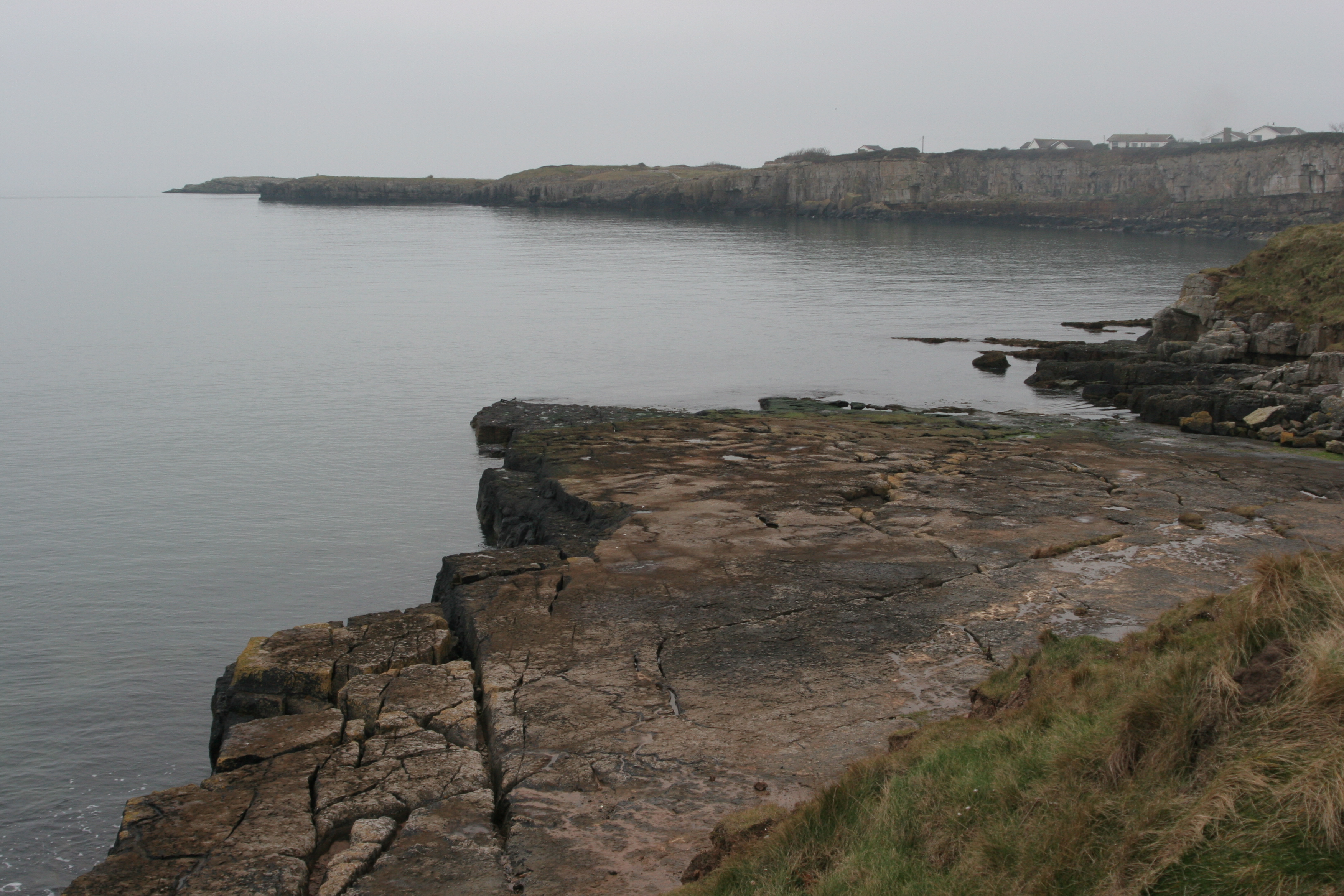
The Royal Charter was within sight of Liverpool when the storm struck. She had rounded Anglesey and entered the Menai Strait approaches, so close to journey's end that some passengers could smell the coal smoke of home. But the gale that descended on 25 October 1859 was unlike anything in living memory, destroying around 200 ships across the British Isles in a single night. Anchors dragged, cables snapped, and by early morning the Royal Charter was driven onto rocks at Porth Helaeth in Dulas Bay. The iron hull broke apart with terrifying speed. A local man named Joseph Rodgers tied a rope around his waist and leapt into the surf to establish a lifeline, but the sea overwhelmed most who tried to reach shore. The complete passenger list was lost with the ship, so the precise death toll remains uncertain.
Dickens at the Churchyard
Two months after the disaster, Charles Dickens traveled to the village of Llanallgo to see the aftermath for himself. He met the Reverend Stephen Roose Hughes, the local rector who had exhausted himself recovering and identifying bodies from the beaches. The effort likely contributed to Hughes's own premature death. Dickens recorded his visit in The Uncommercial Traveller, capturing one image that conveyed the storm's ferocity: the sea had beaten a great ingot of gold deep into a piece of the ship's solid ironwork, with loose sovereigns forced in alongside it as firmly as if the metal had been liquid. Today, 140 victims lie buried in St Gallgo's churchyard, and a memorial stands on the cliff above the rocks where the ship struck, along the Anglesey Coastal Path.
The Storm That Changed Weather Forecasting
The Royal Charter disaster had consequences far beyond Anglesey. Captain Robert FitzRoy, who ran the Meteorological Office and had previously captained HMS Beagle with Darwin aboard, used the catastrophe to argue for a national gale warning service. His proposal was accepted, and for the first time ships received advance storm warnings before putting to sea. The intensity of the Royal Charter storm became a benchmark against which later disasters were measured. When the Tay Bridge collapsed in 1879, the Astronomer Royal referenced the 1859 gale repeatedly in his official report. The "Moelfre Twenty-Eight," villagers who had risked their lives in rescue attempts, wrote to The Times to defend themselves against accusations that locals were looting the wreck and exploiting grieving families.
Gold Still Rising
Exactly a century after the wreck, in October 1959, another vessel called the Hindlea struck the same rocks in another gale. This time the Moelfre lifeboat, under coxswain Richard Evans, saved the entire crew. The Royal Charter's remains lie close inshore in less than five meters of water, a scatter of iron bulkheads and ribs that the shifting sands alternately reveal and conceal. Gold sovereigns, spectacles, and pistols have surfaced over the decades. In 2012, prospector Vincent Thurkettle found what proved to be Britain's largest gold nugget, a 97-gram piece, in waters just five meters deep and forty meters from the wreck site. He kept the discovery secret for four years while he continued searching. The Receiver of Wreck took possession of the nugget on behalf of the Crown, but the sea off Dulas Bay has not finished giving up its secrets.
From the Air
Located at 53.36N, 4.24W on Anglesey's northeast coast at Dulas Bay. Visible from low altitude as a rocky coastline with St Gallgo's Church inland. The wreck site is in shallow water close to shore at Porth Helaeth. Nearest airports: RAF Valley (EGOV) on Anglesey, Caernarfon (EGCK). Approach from the east over the Irish Sea for dramatic coastal views. Recommended altitude: 1,500-2,000 ft for coastline detail.