Rusguniae
In August 1943, an American bulldozer scraping earthworks on a beach near Algiers uncovered an urn filled with Roman coins. The soldiers, stationed in North Africa as part of Operation Torch, had stumbled onto something far older than their war: a hoard of 130 sesterces buried around 250 AD, probably by a citizen of Rusguniae fleeing the emperor Decius's persecution of Christians. The coins ended up at the American Numismatic Society in New York. The city that minted them had long since vanished -- quarried to rubble, paved over, forgotten beneath the suburbs of modern Algiers.
Cape of the Sleepers
The name Rusguniae is itself a riddle. One scholar suggested it derives from Berber words meaning "cape of sleep" or "cape of sleepers," a reference to the legend of the sleepers of Ephesus transposed to North Africa. Another proposed a hybrid etymology: the Phoenician rus (cape) combined with the Berber agouni (cliff). Whatever its origin, the site occupied a privileged position on the northeast shore of the Bay of Algiers, opposite the ancient city of Icosium -- modern Algiers. Its sheltered bay offered natural protection from summer winds, making it a strategic anchorage for maritime navigation. Rusguniae existed by the end of the fourth century BC, predating Icosium by at least two centuries, and served as one of the Phoenician trading posts spaced every 30 to 40 kilometers along the Algerian coast.
Legions and Basilicas
Augustus chose Rusguniae for one of his veteran settlements, colonizing it with soldiers of the IX Gemella legion before 27 AD. Pliny the Elder listed it among the colonies of Caesarean Mauritania, and three inscriptions on the Roman road between Rusguniae and Icosium preserved its full title: Colonia Iulia Rusguniae. The settlement prospered through the first century AD and into the Byzantine period. A temple to Saturn -- the Romanized Baal Hamon -- once stood here. In 419, the bishop of Rusguniae joined those of Icosium and Rusuccuru to represent the province of Mauretania Caesarea at a council in Carthage. Excavations in 1899-1900 uncovered a basilica 34.8 meters long and 20 meters wide, built in two phases, with underground soundings suggesting it sat atop a 4th-century church -- possibly one of the oldest Christian places of worship in Africa.
The Good Shepherd in Fragments
The basilica's floor held mosaics that told stories of their own. The largest, measuring 2.9 by 2.3 meters and now in the Musee d'Alger, depicts the Good Shepherd milking his sheep -- an early Christian image rendered in North African stone. Another panel, showing a lying ram and a ewe with her lamb, ended up in the Louvre. The excavation itself was rushed, and the haste to claim academic credit led to careless handling that damaged the mosaics above the tombs. Among the burials, archaeologists found the grave of a man named Mauricius, probably the military governor, whose embalmed body still gave off the scent of aromatic substances when the tomb was opened. A glass vial near his skull contained the brown residue of holy oil from a martyr's shrine.
Devoured by Its Neighbor
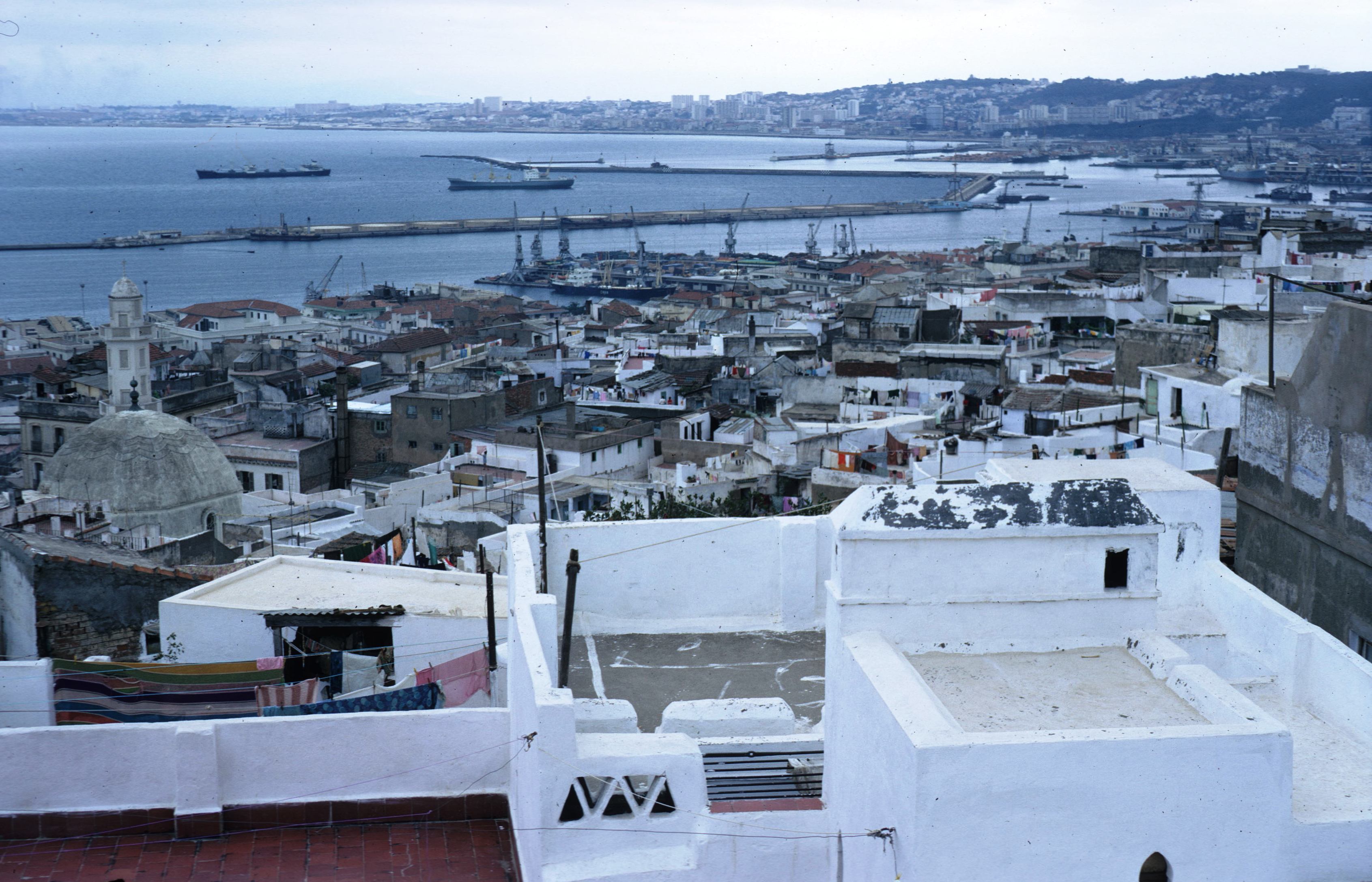
What killed Rusguniae was not the Vandals or the Goths -- though ancient writers blamed both -- but Algiers itself. The 12th-century geographer Al-Idrisi described the ruins as a small, depopulated city with fallen walls, noting that "the remains of ancient buildings, temples and stone columns can still be seen." When Charles V held a council of war among its ruins in 1541, the city was already being cannibalized for building materials. Shaw, visiting in 1757, confirmed that its stones had been carted off for the construction of Algiers. The Ottoman period accelerated the plundering, and the French conquest completed it. Today, modern buildings cover the site almost entirely. A 2008 classification order protects what remains of "Ancient Rusguniae," but the city that was old when Icosium was young now exists mostly in coins, mosaics scattered between continents, and the memory of a bulldozer that struck an urn on a beach.
From the Air
Located at 36.80N, 3.24E northeast of the Bay of Algiers, between modern Tamentfoust and Bordj-El-Bahri (Cap Matifou). The site is now covered by urban development and not easily visible from the air. Nearest airport: DAAG (Houari Boumediene Airport), approximately 20 km southwest. The Cap Matifou headland is the primary geographic reference point.