Rwenzori Mountains
For two thousand years, geographers argued about a mountain range in the heart of Africa that no European had seen. Ptolemy, writing in the 2nd century, described the Mountains of the Moon as the source of the Nile -- snow-covered peaks on the equator, feeding rivers that flowed north to Egypt. The idea persisted through centuries of mapmaking, always just beyond the edge of verified knowledge. Then, in 1888, Henry Morton Stanley emerged from the Congo basin and saw them: a wall of peaks rising above the clouds on the Uganda-Congo border, their upper slopes white with permanent snow. He recorded the local name -- Ruwenzori -- and confirmed what Ptolemy had guessed at from Alexandria. The mountains were real. They are still here, though the snow and ice that define them are disappearing faster than almost any glaciers on Earth.
Not Volcanic, Not Folded, Just Lifted
The Rwenzori are geological outliers. They are neither volcanic, like Kilimanjaro and Mount Kenya, nor the product of tectonic folding, like the Himalayas. Instead, the range is a horst -- a block of ancient crystalline rock pushed upward by the forces that created the Albertine Rift. That same rifting divided an ancient lake called Obweruka into three of today's African Great Lakes: Albert, Edward, and George. The range extends roughly 120 kilometers long and 65 kilometers wide, consisting of six massifs separated by deep gorges. Mount Stanley, the highest, reaches 5,109 meters at Margherita Peak, making it the third-highest point in Africa. The other five massifs -- Speke, Baker, Emin, Gessi, and Luigi di Savoia -- each exceed 4,600 meters. The names read like a roll call of European exploration: the Duke of Abruzzi, who mounted a major expedition in 1906, named several of the peaks, and one was named in his honor.
The Garden of Giants
Below the glaciers, the Rwenzori's vegetation is unlike anything else on the continent. Tropical rainforest gives way to bamboo, then to a zone of giant heathers draped in hanging moss -- heathers that grow six meters tall, twice the height of a house. Above 3,500 meters, the landscape enters the Afro-alpine zone, where giant groundsels and giant lobelias create a botanical landscape that looks more like a science fiction film set than equatorial Africa. These plants, found also on Kilimanjaro and Mount Elgon, evolved in isolation on their respective mountain islands, developing thick rosettes and waxy leaves to survive the cycle of equatorial sun and freezing nights. The lower Bigo Bog, at 3,400 meters, is a waterlogged plateau of tussock grass and lobelias that trekkers must cross on wooden boardwalks. Most of the range is protected under two separate UNESCO World Heritage designations: Rwenzori Mountains National Park in Uganda, inscribed in 1994, and Virunga National Park in the Democratic Republic of the Congo, inscribed in 1979.
Ice on the Equator, Vanishing
In 1906, forty-three named glaciers covered six mountains with a combined area of 7.5 square kilometers -- about half of all glacier coverage in Africa. By 2005, fewer than half of those glaciers remained, clinging to only three mountains, with a total area of roughly 1.5 square kilometers. The retreat has accelerated. Between 2020 and 2024, the surface area of the Stanley Plateau glacier fell by 29.5 percent. In 2025, the environmental organization Project Pressure created the first 3D model of the remaining Ugandan glaciers on Mount Stanley using drone photography and GPS coordinates. During that survey, researchers discovered an accessible ice cave -- a feature that will likely not exist for long. The loss is not merely scenic. Glacial meltwater feeds streams that are among the sources of the Nile, and the changing hydrology affects ecosystems all the way down the mountain. As the ice retreats, vegetation creeps upward, and the mountain's identity as a snow-capped equatorial anomaly moves closer to memory.
Mountains of Refuge and Conflict
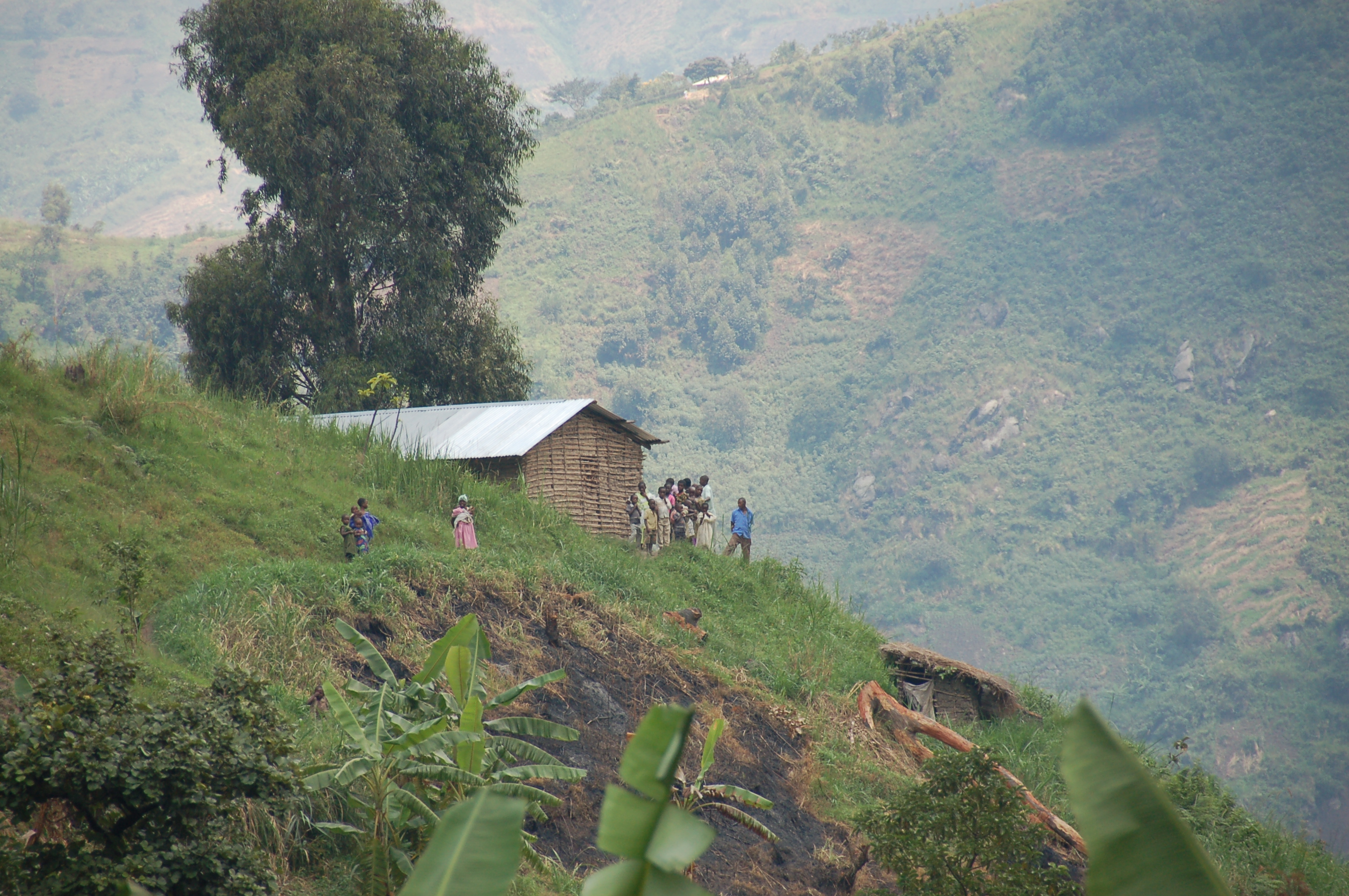
The Rwenzori's remoteness and rugged terrain have made them a recurring sanctuary for armed groups since Ugandan independence. The Rwenzururu secessionist movement fought an insurgency in the mountains during the 1960s. During the Ugandan Bush War, the National Resistance Army operated from the range. After 1986, the mountains hosted bases for the National Army for the Liberation of Uganda and anti-Mobutu Congolese rebel groups. Militias occupied the range from 1997 to 2001, and as recently as 2020, elements of the Allied Democratic Forces moved into the mountains after defeats in the DRC. This history of conflict has complicated conservation and access, though the Ugandan side of the range has been relatively stable and open to trekking in recent years. The human communities around the mountains -- the Bakonzo and Bamba peoples, among others -- have lived in the range's foothills for centuries, their lives shaped by the same geography that drew both explorers and insurgents.
The Trek to the Roof of the Rift
Reaching Margherita Peak typically requires a seven-day trek from the Ugandan side, through each of the mountain's vegetation zones. The route passes through mud, rain, and the disorienting bog crossings that define the Rwenzori experience. This is not Kilimanjaro, where a well-worn trail and hundreds of fellow climbers provide company and navigation. The Rwenzori are wetter, rougher, and far less trafficked. Rain can fall on any day of the year, and the trails are notorious for their mud. In 1975, three Polish climbers -- Janusz Chalecki, Stanislaw Cholewa, and Leszek Czarnecki -- completed the first traverse of all six massifs, a feat that took 18 days in January and February. For most visitors, the goal is simpler: to stand in the moss-draped heather forest, to see the giant groundsels rising from the mist, and to catch a glimpse of the glaciers that Ptolemy imagined before the mountains finish the slow work of letting them go.
From the Air
Located at 0.39N, 29.87E on the Uganda-DRC border. The Rwenzori range extends approximately 120 km north-south and 65 km east-west. Margherita Peak reaches 5,109 m (16,762 ft), making it the third-highest point in Africa. The permanently snow-capped peaks are often obscured by cloud cover -- the range generates its own weather systems and is cloud-covered most days. Lake Albert lies to the north and Lake Edward to the south. Nearest significant airport is Kasese Airstrip on the Ugandan side, approximately 30 km east of the range. Entebbe International Airport (ENBB) is roughly 350 km east. The glaciers on Mount Stanley are visible from high altitude on clear days but increasingly diminished.